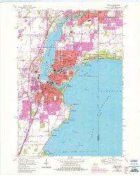
1911 Map of Neenah
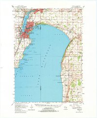
USGS Topo · Published 1949About this map
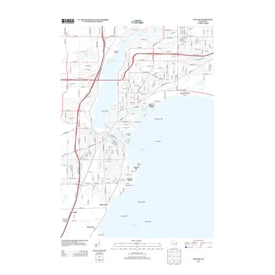
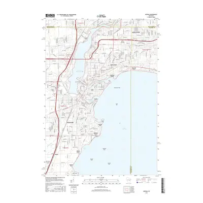
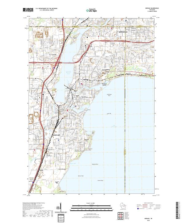
Doty Island sits at the northern confluence of Lake Winnebago and the Fox River, anchoring a landscape defined by the industrial and social growth of the early 1900s. The cities of Menasha and Neenah are shown in significant detail, featuring a dense grid of streets and the radiating lines of the Chicago and Northwestern RR and the Electric RR. This 1908 survey captures the region just as the Fox River Valley became a hub of transport and manufacturing, evidenced by the presence of the Menasha River Upper Light and extensive rail infrastructure.
Find a feature on this map
65 named features on this map. Tap any name to fly to it.
Don’t see what you’re looking for? This feature index may not catch every label — zoom into the map to look around manually.
Map Details
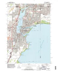
Editions of this 1911 Neenah Map
This is the sole edition of this map. No revisions or reprints were ever made.
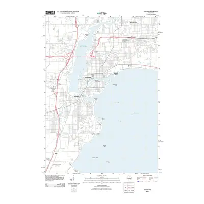
Historical Maps of Appleton Through Time
9 maps found