
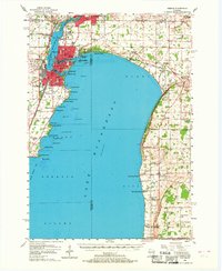
1955 Map of Neenah
USGS Topo · Published 1957About this map
The Fox River and the northern reaches of Lake Winnebago define this mid-century landscape, where the urban industrial centers of Appleton, Menasha, and Neenah converge. This survey documents the post-war transition of the shoreline from industrial waterfront to recreation, noted by landmarks like Waverly Beach, Brighton Beach, and High Cliff Park. The western shore is densely developed with schools and hospitals, such as St Elizabeth Hospital, and the early aviation presence of the Valley Airways Airport.
Find a feature on this map
94 named features on this map. Tap any name to fly to it.
Don’t see what you’re looking for? This feature index may not catch every label — zoom into the map to look around manually.
Map Details
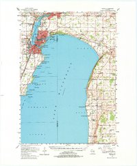
Editions of this 1955 Neenah Map
3 editions found
Other maps of this area

1910 · Fond du Lac
USGS Topo · 1:62,500

1911 · Neenah
USGS Topo · 1:62,500

1954 · De Pere
USGS Topo · 1:62,500

1954 · Chilton
USGS Topo · 1:62,500

1954 · Kiel
USGS Topo · 1:62,500

1955 · Appleton
USGS Topo · 1:24,000

1955 · Appleton
USGS Topo · 1:62,500

1955 · Neenah
USGS Topo · 1:24,000

1955 · Fond Du Lac
USGS Topo · 1:62,500

1955 · Green Bay
USGS Topo · 1:250,000