Loading...
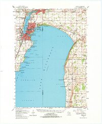
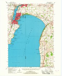
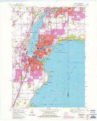
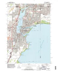
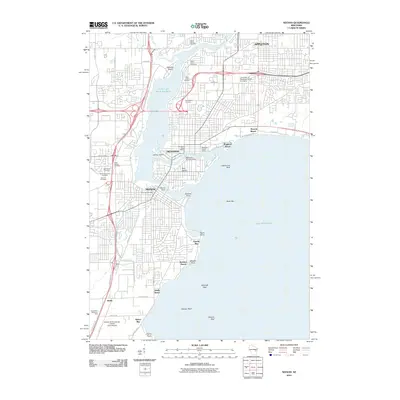
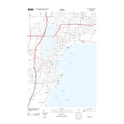
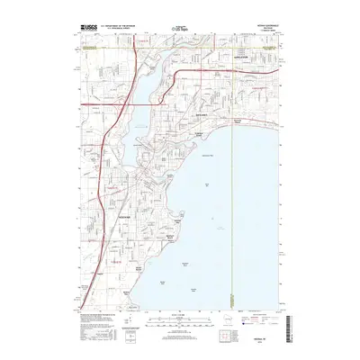
Loading map...1955 Map of Neenah
USGS Topo · Published 1984About this map
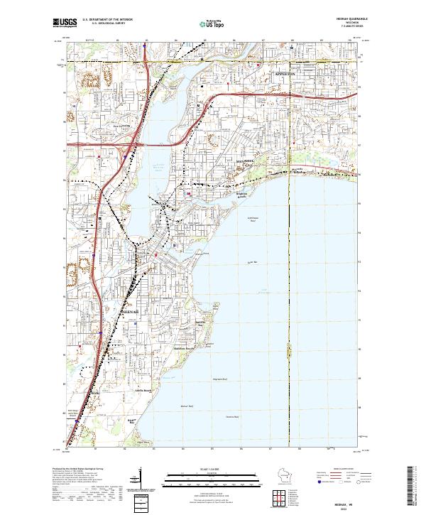
Doty Island sits at the northern neck of Lake Winnebago, serving as a focal point for the industrial and residential growth of Neenah and Menasha. This mid-century survey documents a landscape defined by the Fox River and its varied shoreline features, from the recreational Waverly Beach to the limestone formations of High Cliff. The eastern shore transitions into the rural expanse of the Stockbridge Indian Reservation, where small settlements like Quinney and Stockbridge maintain their lakeside presence.
Find a feature on this map
82 named features on this map. Tap any name to fly to it.
Don’t see what you’re looking for? This feature index may not catch every label — zoom into the map to look around manually.
Map Details
Date Portrayed1955
Date Published1984
PublisherU.S. Geological Survey
Map TypeTopographic
Scale1:62,500
Physical Dimensions18.25 x 22.18 inches
Editions of this 1955 Neenah Map
3 editions found

Historical Maps of Appleton Through Time
9 maps found


Featured Locations
Source Details
SourceU.S. Geological Survey
CopyrightPublic Domain