
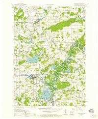
1956 Map of New London
USGS Topo · Published 1958About this map
The Wolf River and Embarrass River dominate this mid-century landscape, converging near New London and shaping the development of Outagamie and Waupaca counties. A dense network of rural infrastructure is documented, from the Drive-in Theater west of the river to dozens of neighborhood schoolhouses like Wide Awake Sch and Liberty Bell Sch. Several sites are already noted as defunct, including Riverside Sch (Abandoned) and Maple Creek Cem No 2 (Abandoned), providing critical data for local historians.
Find a feature on this map
88 named features on this map. Tap any name to fly to it.
Don’t see what you’re looking for? This feature index may not catch every label — zoom into the map to look around manually.
Map Details
Editions of this 1956 New London Map
This is the sole edition of this map. No revisions or reprints were ever made.
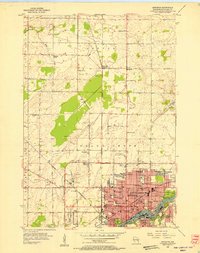
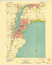
Other maps of this area

1911 · Neenah
USGS Topo · 1:62,500

1955 · Neenah
USGS Topo · 1:62,500

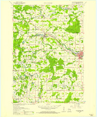
1955 · Embarrass
USGS Topo · 1:48,000
1955 · Clintonville
USGS Topo · 1:48,000
1955 · Appleton
USGS Topo · 1:24,000

1955 · Appleton
USGS Topo · 1:62,500
1955 · Neenah
USGS Topo · 1:24,000

1955 · Seymour
USGS Topo · 1:62,500

1955 · Green Bay
USGS Topo · 1:250,000
1956 · Weyauwega
USGS Topo · 1:48,000