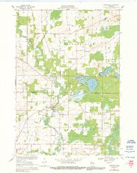
1955 Map of Embarrass
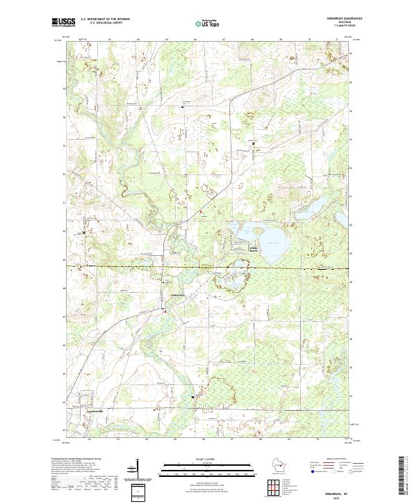
USGS Topo · Published 1957About this map
The Embarrass River and Wolf River systems define this mid-1950s landscape, winding through a patchwork of dairy farms and rural townships across the borders of Shawano, Waupaca, and Outagamie counties. This era reveals a transition in rural education, documented by numerous former schoolhouses including Porter Sch, Sunset View Sch, and Long Lake Sch, which appear alongside active community hubs like the Riverside Sch and Wolf River Sch. Local infrastructure is anchored by the Clintonville Airport and the Chicago and Northwestern railroad line serving the settlement of Bear Creek. The map provides significant genealogical detail through its inventory of country churches and burial grounds, such as St Wenceslaus Ch Cem, Jerusalem Ch, and the Danish Cem. Extensive wetlands like the Navarino Marsh contrast with recreational spots such as Adams Beach on Pine Lake.
Find a feature on this map
79 named features on this map. Tap any name to fly to it.
Don’t see what you’re looking for? This feature index may not catch every label — zoom into the map to look around manually.
Map Details
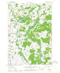
Editions of this 1955 Embarrass Map
2 editions found
Historical Maps of Clintonville Through Time
3 maps found