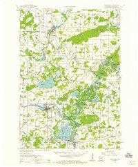
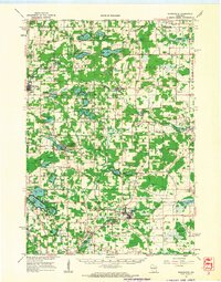
1956 Map of Weyauwega
USGS Topo · Published 1958About this map
The Wolf River and Little Wolf River wind through this mid-1950s landscape, defining the character of the Waupaca County countryside. The waterway is flanked by complex networks of bayous and landings, including Traders Bayou and Gills Landing, where the river meets the Minneapolis St Paul and Sault Ste Marie railroad line. Large water bodies like White Lake and Partridge Lake dominate the southern half of the sheet, surrounded by a dense distribution of rural schools and family cemeteries.
Find a feature on this map
96 named features on this map. Tap any name to fly to it.
Don’t see what you’re looking for? This feature index may not catch every label — zoom into the map to look around manually.
Map Details
Editions of this 1956 Weyauwega Map
This is the sole edition of this map. No revisions or reprints were ever made.
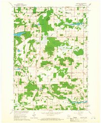
Other maps of this area

1955 · Embarrass
USGS Topo · 1:48,000
1955 · Clintonville
USGS Topo · 1:48,000

1955 · Tigerton
USGS Topo · 1:48,000

1955 · Green Bay
USGS Topo · 1:250,000

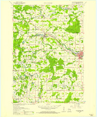
1956 · New London
USGS Topo · 1:48,000
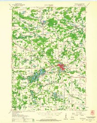
1957 · Waupaca
USGS Topo · 1:48,000
1961 · Poy Sippi
USGS Topo · 1:62,500
1961 · Redgranite
USGS Topo · 1:62,500

1961 · Oshkosh
USGS Topo · 1:62,500
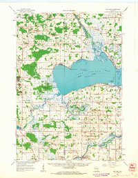
1961 · Saxeville
USGS Topo · 1:24,000