Old Maps of Kaukauna, Wisconsin
Explore 27 old maps of Kaukauna, spanning from 1911 to today. These high-resolution historic maps reveal how streets, neighborhoods, landmarks, and natural features evolved over time — perfect for genealogy, metal detecting, research, and local history exploration.
What you can do with these maps:
- See how Kaukauna changed over time: Compare historical maps to modern-day views to trace roads, homesites, rail lines & more.
- View detailed metadata: Each map includes creators, publishers, year, scale, and archive source.
- Overlay maps with satellite & LiDAR: Visualize the past alongside modern tools to explore terrain & human change.
- Trusted historical sources: Maps sourced from the USGS, Library of Congress, and other archives.
- Access maps your way: View online, download high-res files, or order prints for personal or research use.
Start exploring old maps of Kaukauna to uncover forgotten places, hidden landmarks, and the deep history beneath your feet.
Kaukauna, WI maps
(27)- 1911 Map of Neenah, 1949 Print
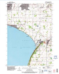
 1911 Neenah1949 Print · USGSThe Fox River Valley was a thriving industrial and social corridor at the dawn of the twentieth century. Genealogists and historians can trace the early layouts of Neenah and Menasha or locate vanished landmarks like High Cliff PO and the Limeworks.
 - 1954 Map of De Pere, 1956 Print
 1954 De Pere1956 Print · USGSThe Fox River valley in the mid-1950s was a hub of industrial navigation and growing aviation between De Pere and Green Bay. Genealogists can trace family names through dozens of rural sites like St Patrick Cem, Gopher Hill, and the Michaelson Sch (Abandoned).2 unique versions available
 - 1955 Map of Neenah, 1957 Print
 1955 Neenah1957 Print · USGSMid-century Wisconsin comes to life along the Fox River and Lake Winnebago as industrial towns like Neenah and Menasha expand. Genealogists and historians can trace old property lines near St Marys Cem or locate defunct landmarks like the Drive-in Theater and Clay Sch.3 unique versions available
 - 1955 Map of Appleton, 1957 Print
 1955 Appleton1957 Print · USGSOutagamie County's river-driven industrial valley and sprawling northern farmsteads are captured here in the mid-1950s. Genealogists and historians can trace the foundations of Appleton and Kaukauna or locate rural landmarks like Mackville Station and the Herman Sch (Abandoned).2 unique versions available
 - 1955 Map of Green Bay, 1968 Print
 1955 Green Bay1968 Print · USGSCentral and Eastern Wisconsin are captured here in the mid-fifties, showing the industrial growth of the Fox Valley and Wisconsin River corridors. Genealogists and historians can trace rail lines like the Green Bay and Western through settlements like Weyauwega, Clintonville, and Pulaski.2 unique versions available
 - 1974 Map of Kaukauna, 1978 Print
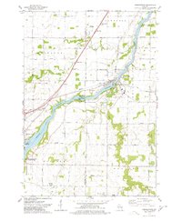
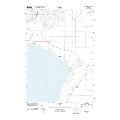
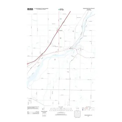
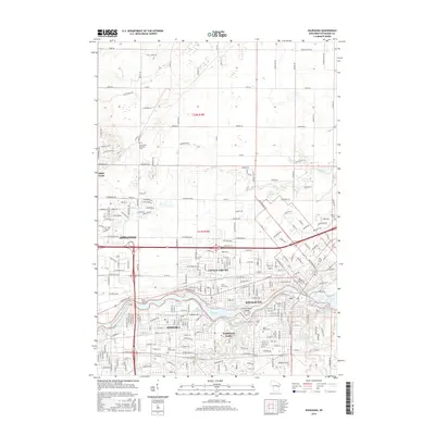
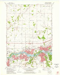 1974 Kaukauna1978 Print · USGSKaukauna and the surrounding Fox River valley are captured in the mid-seventies, showing the dense industrial and parish-linked neighborhoods of the era. Researchers can trace family roots through numerous sites like Holy Name Cem, St John Cem, and schools like Electa Quinney Sch.2 unique versions available
 - 1974 Map of Wrightstown, 1978 Print
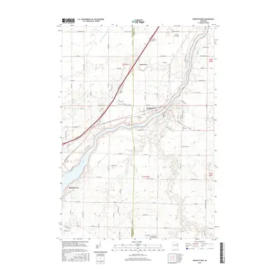
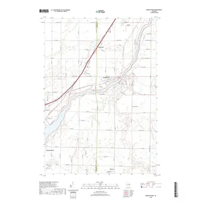
 1974 Wrightstown1978 Print · USGSWrightstown and the Fox River valley are captured in the mid-1970s, showing a landscape defined by water power and rural crossroads. Genealogists can locate numerous local burial sites like St Johns Cem and South Lawrence Cem, or trace the old Chicago and Northwestern rail corridor.
 - 1974 Map of Sherwood, 1978 Print
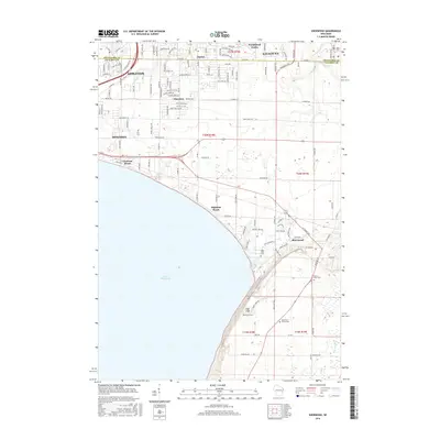
 1974 Sherwood1978 Print · USGSThe Lake Winnebago shoreline in the mid-1970s shows a landscape balancing industry and recreation at the Calumet and Outagamie county line. Researchers can find old family cemeteries like Sacred Heart Cem, explore the Limekiln Ruins, or trace the Soo Line through Sherwood.2 unique versions available
 - 1984 Map of Appleton, 1985 Print
 1984 Appleton1985 Print · USGSThe Fox River Valley in the mid-eighties shows a bustling corridor of industry and nature, from the shores of Lake Winnebago to the Oneida Indian Reservation. Trace local heritage through landmarks like Riverside Cem or explore the wetlands of Poygan Marsh State Wildlife Area.2 unique versions available
 - 1992 Map of Kaukauna, 1996 Print
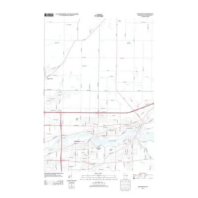
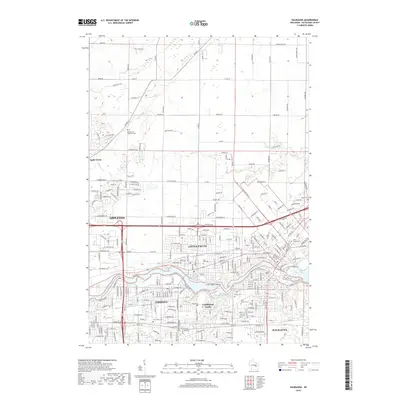
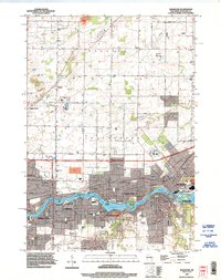 1992 Kaukauna1996 Print · USGSThe Fox River industrial corridor is shown in high detail during the early nineties as urban centers like Kaukauna and Little Chute expanded. Genealogists can locate several local burial grounds such as St John Cem and Holy Name Cemetery alongside parks like Thousand Island State Conservancy Park.
 - 1992 Map of Sherwood, 1996 Print
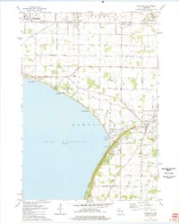
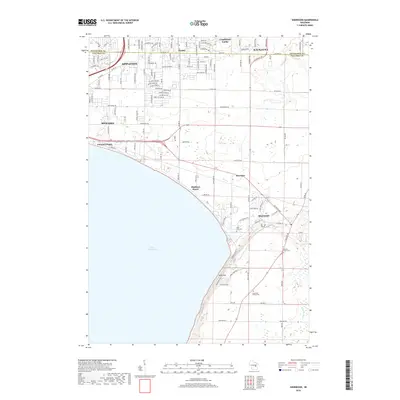
 1992 Sherwood1996 Print · USGSLake Winnebago and its prominent eastern bluffs are the centerpiece of this Calumet County survey from the early nineties. Researchers can locate genealogical landmarks like High Cliff Cemetery or trace the industrial history of the Limekiln Ruins and local Quarry operations.
 - 1992 Map of Wrightstown, 1996 Print
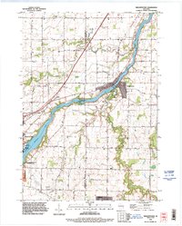 1992 Wrightstown1996 Print · USGSThe Fox River valley in the early nineties shows a balance of industrial power and rural community life. Genealogists can locate several historic burial grounds including St Paul Cemetery and St Johns Cemetery, or trace the path of Plum Creek through Holland.
 - 2010 Map of Wrightstown, 2010 Print
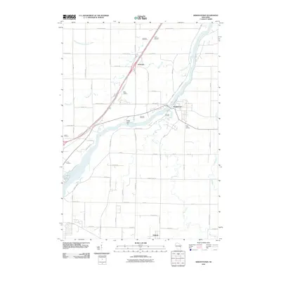 2010 Wrightstown2010 Print · USGSCovers Kaukauna, including Wrightstown, Holland, and other nearby areas
 - 2010 Map of Kaukauna, 2010 Print
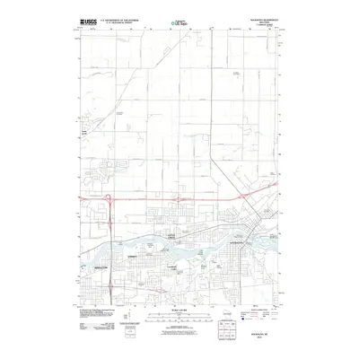 2010 Kaukauna2010 Print · USGSCovers Kaukauna, including Appleton, Grand Chute, and other nearby areas
 - 2010 Map of Sherwood, 2010 Print
 2010 Sherwood2010 Print · USGSCovers Kaukauna, including Appleton, Menasha, and other nearby areas
 - 2013 Map of Kaukauna, 2013 Print
 2013 Kaukauna2013 Print · USGSCovers Kaukauna, including Appleton, Grand Chute, and other nearby areas
 - 2013 Map of Sherwood, 2013 Print
 2013 Sherwood2013 Print · USGSCovers Kaukauna, including Appleton, Menasha, and other nearby areas
 - 2013 Map of Wrightstown, 2013 Print
 2013 Wrightstown2013 Print · USGSCovers Kaukauna, including Wrightstown, Holland, and other nearby areas
 - 2016 Map of Sherwood, 2016 Print
 2016 Sherwood2016 Print · USGSCovers Kaukauna, including Appleton, Menasha, and other nearby areas
 - 2016 Map of Kaukauna, 2016 Print
 2016 Kaukauna2016 Print · USGSCovers Kaukauna, including Appleton, Grand Chute, and other nearby areas
 - 2016 Map of Wrightstown, 2016 Print
 2016 Wrightstown2016 Print · USGSCovers Kaukauna, including Wrightstown, Holland, and other nearby areas
 - 2018 Map of Wrightstown, 2018 Print
 2018 Wrightstown2018 Print · USGSCovers Kaukauna, including Wrightstown, Holland, and other nearby areas
 - 2018 Map of Kaukauna, 2018 Print
 2018 Kaukauna2018 Print · USGSCovers Kaukauna, including Appleton, Grand Chute, and other nearby areas
 - 2018 Map of Sherwood, 2018 Print
 2018 Sherwood2018 Print · USGSCovers Kaukauna, including Appleton, Menasha, and other nearby areas
 - 2022 Map of Kaukauna, 2022 Print
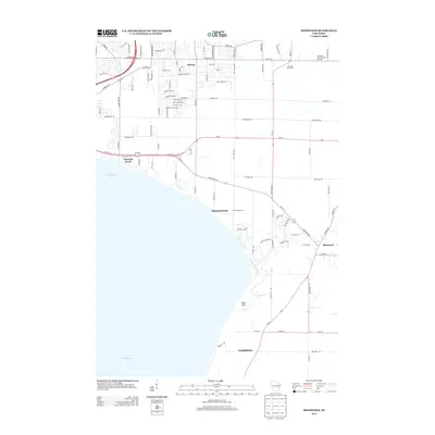
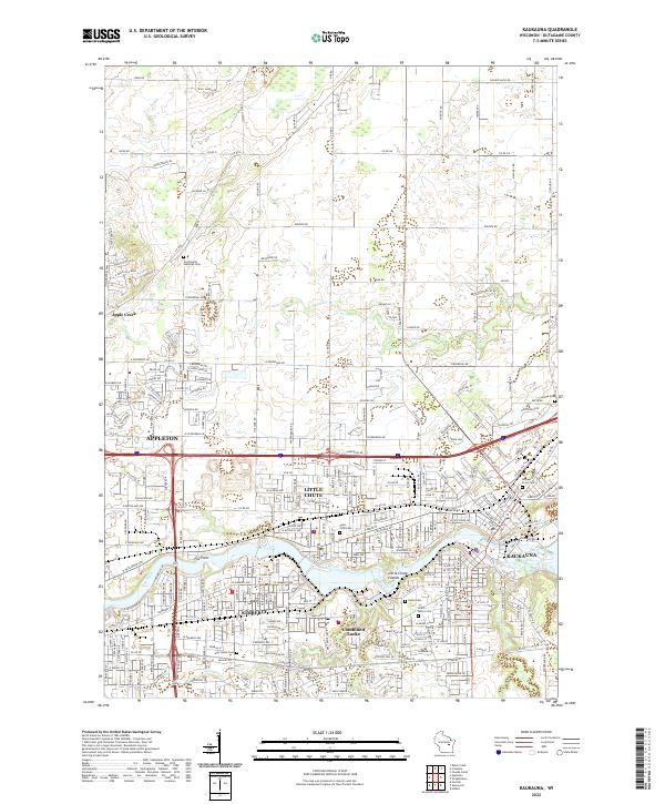 2022 Kaukauna2022 Print · USGSThe industrial corridor of the Fox River comes alive in this contemporary survey of the Paper Valley. Genealogists and local researchers can pinpoint family plots at Holy Cross Cem or Union Cem and trace the urban footprints of Kimberly and Kaukauna.
Showing maps 1-25 of 27
Top cities near Kaukauna
- Green Bay historical maps
- Appleton historical maps
- Neenah historical maps
- De Pere historical maps
- Grand Chute historical maps
- Fox Crossing historical maps
See more
Frequently asked questions
- What are the different types of historical maps available for Kaukauna?
- What is the oldest map of Kaukauna?
- Where can I purchase historical maps of Kaukauna for my home or office?
- Where can I download high-res historical maps of Kaukauna?
- Are there historical topographic maps available for Kaukauna?
- Is there historical aerial imagery available for Kaukauna?
- Where are historical maps of Kaukauna sourced from?