2000s (21st Century) Maps of Durand, Wisconsin
Explore 15 historic maps of Durand from the 2000s (21st Century). These maps offer a rare glimpse into what life looked like during the 2000s — showing old roads, neighborhoods, homes, and landmarks that have changed or disappeared over time.
Whether you're researching your family's past, planning a metal detecting trip, or studying how Durand's landscape evolved across the 2000s, these high-resolution maps are a powerful tool for exploring the history of this region.
- Focus on a specific era: All maps on this page are from the 2000s, giving you a focused view of this time period.
- See what’s changed: Compare century-old streets, trails, and buildings to today's modern landscape using overlays and satellite layers.
- Research with precision: Use these maps for genealogy, historical research, land use analysis, or educational projects.
- View, download, or print: Maps are fully viewable online in high resolution, and can be downloaded or printed for your own records.
Start exploring Durand's history through authentic maps from the 2000s. This is your window into the past.
Durand, WI maps
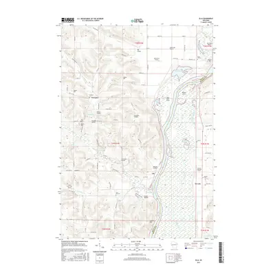
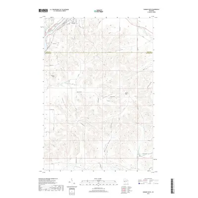
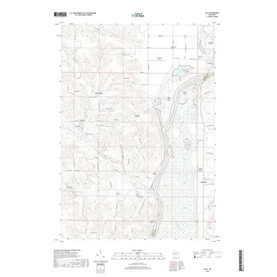
(15)- 2010 Map of Ella, 2010 Print
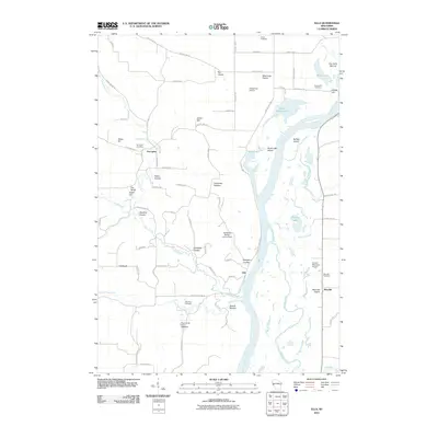 2010 Ella2010 Print · USGSCovers Durand, including Maxville, Nelson, and other nearby areas
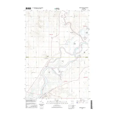
 - 2010 Map of Durand North, 2010 Print
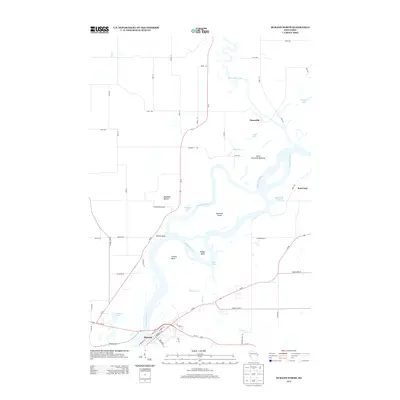
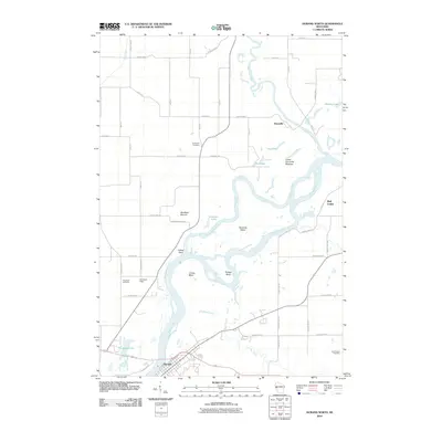 2010 Durand North2010 Print · USGSCovers Durand, including Red Cedar, Eau Galle, and other nearby areas
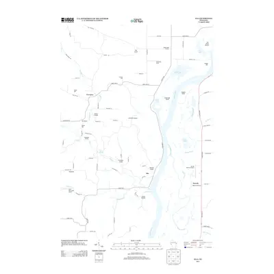
 - 2010 Map of Durand South, 2010 Print
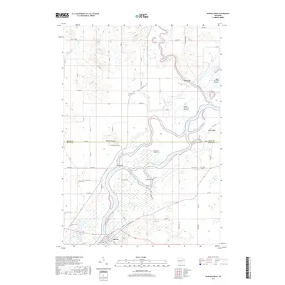
 2010 Durand South2010 Print · USGSCovers Durand, including Lima, Modena, and other nearby areas
 - 2013 Map of Ella, 2013 Print
 2013 Ella2013 Print · USGSCovers Durand, including Maxville, Nelson, and other nearby areas
 - 2013 Map of Durand North, 2013 Print
 2013 Durand North2013 Print · USGSCovers Durand, including Red Cedar, Eau Galle, and other nearby areas
 - 2013 Map of Durand South, 2013 Print
 2013 Durand South2013 Print · USGSCovers Durand, including Lima, Modena, and other nearby areas
 - 2015 Map of Durand South, 2015 Print
 2015 Durand South2015 Print · USGSCovers Durand, including Lima, Modena, and other nearby areas
 - 2015 Map of Ella, 2015 Print
 2015 Ella2015 Print · USGSCovers Durand, including Maxville, Nelson, and other nearby areas
 - 2015 Map of Durand North, 2015 Print
 2015 Durand North2015 Print · USGSCovers Durand, including Red Cedar, Eau Galle, and other nearby areas
 - 2018 Map of Durand South, 2018 Print
 2018 Durand South2018 Print · USGSCovers Durand, including Lima, Modena, and other nearby areas
 - 2018 Map of Durand North, 2018 Print
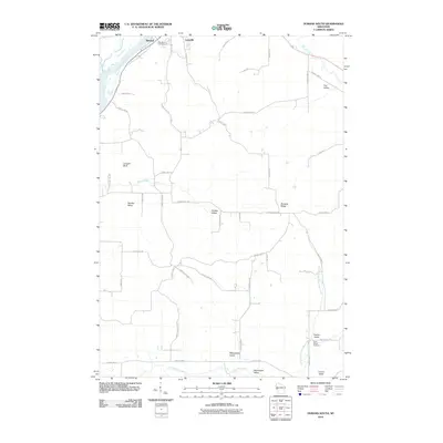
 2018 Durand North2018 Print · USGSCovers Durand, including Red Cedar, Eau Galle, and other nearby areas
 - 2018 Map of Ella, 2018 Print
 2018 Ella2018 Print · USGSCovers Durand, including Maxville, Nelson, and other nearby areas
 - 2022 Map of Ella, 2022 Print
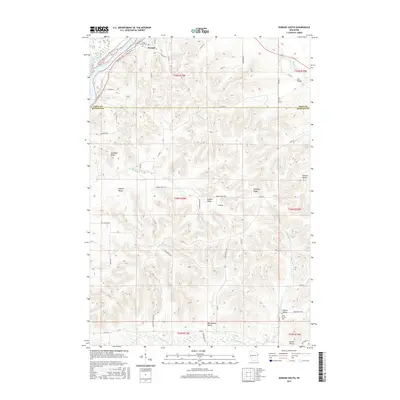
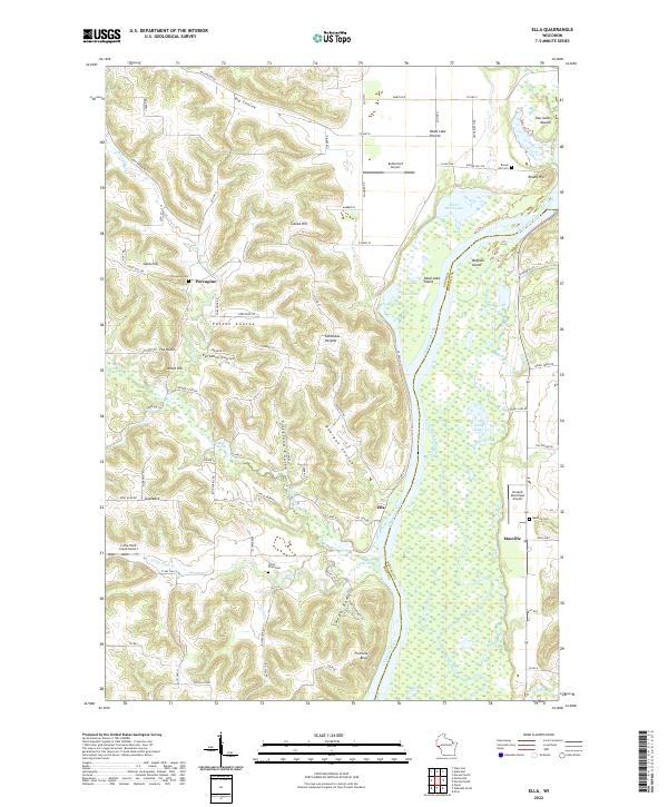 2022 Ella2022 Print · USGSPepin and Buffalo Counties are documented here as they appeared in the early 2020s, showcasing the complex river bottomlands of the Chippewa River. Genealogists and local historians can locate small rural centers like Ella and Porcupine, along with several burial grounds such as Little Plum Cem and Round Hill Cem.
 - 2022 Map of Durand North, 2022 Print
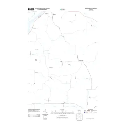
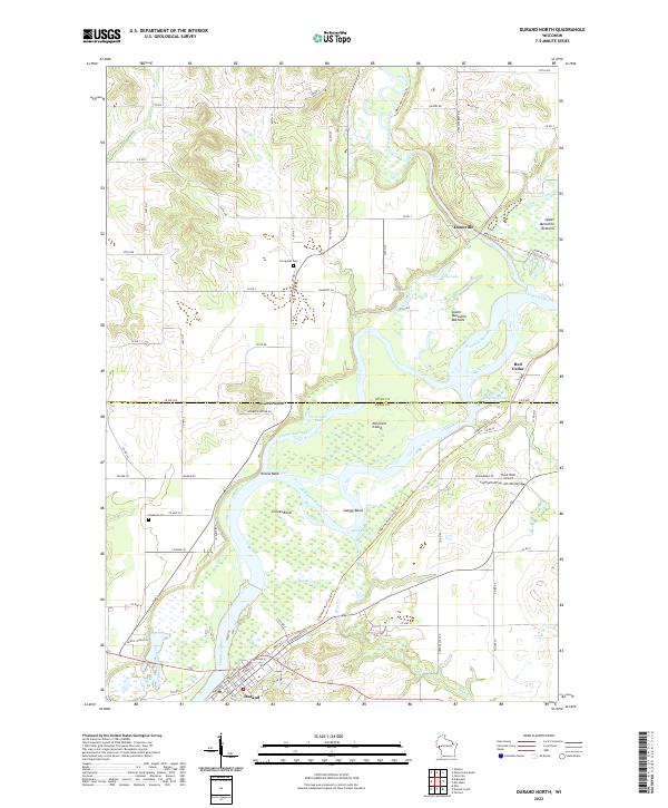 2022 Durand North2022 Print · USGSThe river confluence at the Dunn and Pepin county line shows a landscape shaped by water and former rail lines. Trace local history along the Red Cedar State Trl near Dunnville or locate family sites by Evergreen Cem and Waubeek Mound.
 - 2022 Map of Durand South, 2022 Print
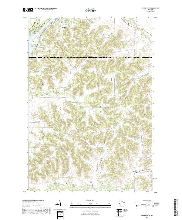 2022 Durand South2022 Print · USGSThe bluffs and coulees south of Durand are mapped here as they appeared in 2022, capturing the intersection of the Chippewa River and the rugged local topography. Genealogists and local historians can trace family-named roads and landmarks like Saint Mary's Cem, Limekiln Bluff, and the North Branch Cem.
End of results
Showing maps 1-15 of 15
Top cities near Durand
- Menomonie historical maps
- Red Cedar historical maps
- Durand historical maps
- Red Cedar historical maps
- Elk Mound historical maps
- Elmwood historical maps
See more
Frequently asked questions
- What are the different types of historical maps available for Durand?
- What is the oldest map of Durand?
- Where can I purchase historical maps of Durand for my home or office?
- Where can I download high-res historical maps of Durand?
- Are there historical topographic maps available for Durand?
- Is there historical aerial imagery available for Durand?
- Where are historical maps of Durand sourced from?