Old Maps of Pepin County, Wisconsin for Hiking & Exploration
Hike through history with 106 historic maps of Pepin County. Explore old trails, ghost towns, and forgotten backroads — perfect for outdoor adventurers and local explorers.
- Rediscover forgotten places: Map out old mining camps, roads, and footpaths that no longer exist on modern maps.
- Layer with modern tools: Combine with LiDAR or satellite views to plan hikes through historical terrain.
- Made for exploration: Popular among hikers, overlanders, and local history lovers.
Use these maps to find adventure and explore the hidden past of Pepin County.
Pepin County, WI maps
(106)- 1929 Map of Durand, 1970 Print
 1929 Durand1970 Print · USGSThe Chippewa River valley in the late 1920s reveals a landscape of river-bottom settlements and upland family farms. Genealogists can trace rural roots through numerous schoolhouses like Woods Corner Sch and landmarks like the Meridean Ferry.
 - 1932 Map of Wabasha
 1932 Wabasha1932 Print · USGSThe Mississippi River valley near the Chippewa delta was a thriving hub of rail and river commerce in the early thirties. Genealogists can trace early homesteads and community hubs through landmarks like Hicks Valley Sch, Stockholm, and the river crossing at Nelson.2 unique versions available
 - 1932 Map of Durand
 1932 Durand1932 Print · USGSThe Chippewa River valley in the early 1930s is a landscape of complex waterways and bustling rural districts. Genealogists and historians can locate dozens of country schools like Luna Sch and trace the old rail lines serving Durand and Dunnville.2 unique versions available
 - 1932 Map of Mondovi
 1932 Mondovi1932 Print · USGSThe Buffalo River valley and surrounding coulees are shown here in the early thirties, centered on the hub of Mondovi. Genealogists can locate dozens of country schoolhouses like White Block Sch and rural landmarks such as Norden Ch.2 unique versions available
 - 1935 Map of Arkansaw
 1935 Arkansaw1935 Print · USGSThe rural uplands and river valleys of Pepin and Dunn Counties are captured here during the mid-1930s. Researchers can trace dozens of country school sites like Point Sch and Knight Sch, or locate family landmarks at Exile and Eau Galle Mill.
 - 1940 Map of Maiden Rock
 1940 Maiden Rock1940 Print · USGSPierce County’s bluff country meets the Mississippi River in this pre-war survey of the Wisconsin-Minnesota border. Genealogists can trace hundreds of family-named landmarks, from Clayfield Ch to vanished rural schoolhouses like Oakvale Sch and Drake Sch.2 unique versions available
 - 1941 Map of Arkansaw
 1941 Arkansaw1941 Print · USGSPepin and Pierce counties appear at the start of the 1940s as a land of rural schools and river-valley farming. Researchers can trace family sites at Plum City, Dead Lake Cem, or schools like Maxwell Prairie Sch along the Chippewa River.
 - 1942 Map of Arkansaw
 1942 Arkansaw1942 Print · USGSThe Driftless Area of Pepin and Pierce counties comes to life in the 1940s, showing a landscape of deep coulees and river valleys. Genealogists can locate dozens of country schools like Whipple Hill Sch and historic local landmarks such as St Joseph Ch and Exile.2 unique versions available
 - 1950 Map of Maiden Rock, 1952 Print
 1950 Maiden Rock1952 Print · USGSThe bluffs of Lake Pepin were a hive of rail and river activity at mid-century, supporting a dense network of upland farms and small towns. Researchers can trace rural life through dozens of named landmarks like Old Frontenac, the Villa Maria Academy, and Sleepy Hollow School.4 unique versions available
 - 1951 Map of Wabasha
 1951 Wabasha1951 Print · USGSThe Mississippi River valley and Lake Pepin define this mid-century landscape at the border of Minnesota and Wisconsin. Researchers can trace rural school districts like Scott Settlement Sch and old river settlements from Stockholm to Wabasha.3 unique versions available
 - 1951 Map of Lake City, 1953 Print
 1951 Lake City1953 Print · USGSLake City and the high bluffs overlooking the Mississippi River appear here at mid-century, documenting a landscape shaped by the rail lines and river valleys of the Upper Midwest. Researchers can locate numerous country landmarks like Sugarloaf Valley Sch, Florence Stn, and the historic Zumbro Falls.3 unique versions available
 - 1953 Map of Saint Paul, 1964 Print
 1953 Saint Paul1964 Print · USGSThe Twin Cities and the Mississippi River valley are captured here at a mid-century turning point. Trace the early growth of Minneapolis and Saint Paul alongside landmarks like Lake Minnetonka and the St Croix River.4 unique versions available
 - 1953 Map of Eau Claire, 1965 Print
 1953 Eau Claire1965 Print · USGSWest-central Wisconsin in the mid-fifties shows a landscape of river-valley industry and vast wildlife refuges during the transition from rails to modern highways. Genealogists and historians can trace the rail corridors of the Chicago and North Western or locate family-named landmarks like Decorah Mound and Chippewa Island.4 unique versions available
 - 1958 Map of Eau Claire
 1958 Eau Claire1958 Print · USGSWestern Wisconsin in the late fifties shows a landscape of growing regional hubs and massive wildlife refuges. Trace the rail lines of the Chicago and North Western between Eau Claire and Marshfield, or explore the terrain around Iron Mound and Lake Wissota.
 - 1959 Map of Saint Paul
 1959 Saint Paul1959 Print · USGSThe Twin Cities and southeastern Minnesota appear here in the late fifties, showing the peak of the rail era and post-war suburban growth. Genealogists can trace family footprints near Lake Minnetonka, the Univ Of Minn Rosemount Research Center, or the growing neighborhoods of Richfield.2 unique versions available
 - 1964 Map of Eau Claire
 1964 Eau Claire1964 Print · USGSWest-central Wisconsin in the mid-1960s was a hub of river-driven industry and expanding rail networks. Researchers can trace historic homesteads near Menomonie, follow the Soo Line RR through Marshfield, or explore the grounds of the Camp McCoy Military Reservation.
 - 1972 Map of Ella, 1975 Print
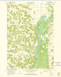 1972 Ella1975 Print · USGSThe river bluffs and bottomlands of the Chippewa River valley are captured here in the early seventies, showing a landscape defined by water and rail. Genealogists and local historians can locate Little Plum Church, Maxville Cemetery, and the remote heights of Goatback.
 - 1972 Map of Meridean, 1975 Print
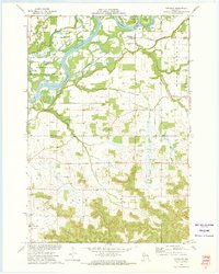 1972 Meridean1975 Print · USGSThe Chippewa River valley in the early seventies shows a landscape of fertile bottoms and rural townships. Researchers can trace family roots at Fossum Cem and Peru Cem or locate old school sites like Grandview Sch.
 - 1972 Map of Tarrant, 1975 Print
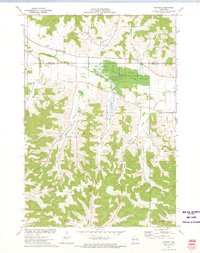 1972 Tarrant1975 Print · USGSBuffalo County in the early seventies is a landscape of deeply carved valleys and conservation land. Genealogists and local historians can locate rural landmarks like Sacred Heart Cem, Tiffany Sch, and the small settlement of Tarrant.
 - 1972 Map of Durand North, 1975 Print
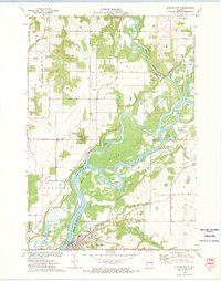 1972 Durand North1975 Print · USGSThe Chippewa River valley in the early 1970s reveals a landscape of complex waterways and rail-side settlements. Researchers can trace the path of the Chicago Milwaukee St Paul and Pacific railroad past Dunnville or locate family sites like Evergreen Cem and Waubeek Mound.
 - 1972 Map of Durand South, 1975 Print
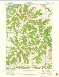 1972 Durand South1975 Print · USGSThe river and rail corridor of the Chippewa River meets the rugged bluff country of Buffalo County during the early 1970s. Researchers can trace the path of the Chicago Milwaukee St Paul and Pacific RR or locate family sites at St Mary Cem and North Branch Cem.2 unique versions available
 - 1972 Map of Plum City, 1975 Print
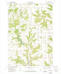 1972 Plum City1975 Print · USGSPierce County at the start of the 1970s shows a landscape of deep coulees and ridge-top farming. Trace old family lines and local landmarks from Plum City to Exile, including Poplar Hill Cem and the waters of Nugget Lake.
 - 1972 Map of Nerike Hill, 1975 Print
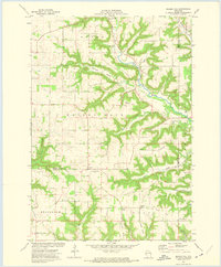 1972 Nerike Hill1975 Print · USGSPierce and Pepin Counties in the early 1970s show a landscape of steep coulees and tight-knit rural crossroads. Researchers can trace family history through landmarks like Mission Covenant Ch, Free Home Cem, and the small settlement at Lund.
 - 1972 Map of Arkansaw, 1975 Print
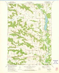 1972 Arkansaw1975 Print · USGSThe Coulee Region of Pepin and Dunn counties is shown here in the early 1970s as a land of high ridges and narrow valleys. Genealogists can trace family landmarks like Weber Valley Cem, St Henrys Ch, and the rural community of Arkansaw.
 - 1973 Map of Rock Falls, 1975 Print
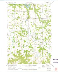 1973 Rock Falls1975 Print · USGSDunn and Eau Claire Counties are captured here in the early 1970s, showing a landscape defined by the Chippewa River and rail lines. Researchers can locate rural landmarks like the Rock Creek Cem, the Rock Falls Millpond, and Caryville.
Showing maps 1-25 of 106
Top cities of Pepin County
Frequently asked questions
- What are the different types of historical maps available for Pepin County?
- What is the oldest map of Pepin County?
- Where can I purchase historical maps of Pepin County for my home or office?
- Where can I download high-res historical maps of Pepin County?
- Are there historical topographic maps available for Pepin County?
- Is there historical aerial imagery available for Pepin County?
- Where are historical maps of Pepin County sourced from?