Old Maps of Trimbelle, Wisconsin for Hiking & Exploration
Hike through history with 35 historic maps of Trimbelle. Explore old trails, ghost towns, and forgotten backroads — perfect for outdoor adventurers and local explorers.
- Rediscover forgotten places: Map out old mining camps, roads, and footpaths that no longer exist on modern maps.
- Layer with modern tools: Combine with LiDAR or satellite views to plan hikes through historical terrain.
- Made for exploration: Popular among hikers, overlanders, and local history lovers.
Use these maps to find adventure and explore the hidden past of Trimbelle.
Trimbelle, WI maps
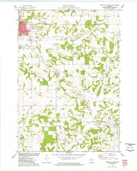
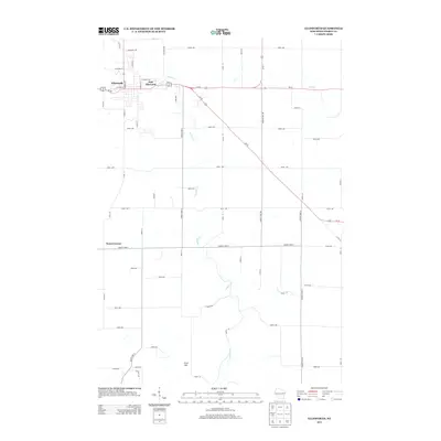
(35)- 1940 Map of Maiden Rock
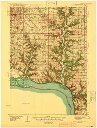 1940 Maiden Rock1940 Print · USGSPierce County’s bluff country meets the Mississippi River in this pre-war survey of the Wisconsin-Minnesota border. Genealogists can trace hundreds of family-named landmarks, from Clayfield Ch to vanished rural schoolhouses like Oakvale Sch and Drake Sch.2 unique versions available
 - 1944 Map of Red Wing
 1944 Red Wing1944 Print · USGSThe Wisconsin side of the Mississippi River valley is shown here just before the mid-century, where rail and river networks met. Genealogists can locate family-named landmarks and rural hubs like Moeville, Hager City, and St Marys Sch.2 unique versions available
 - 1946 Map of River Falls, 1968 Print
 1946 River Falls1968 Print · USGSPierce and St. Croix counties come alive in the mid-1940s, centered on the river-fed hub of River Falls. Genealogists and historians can trace dozens of rural schoolhouses and country churches, including Cherma Ch, Lafette Sch, and Glover.
 - 1949 Map of River Falls
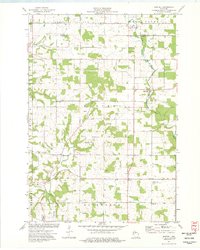
 1949 River Falls1949 Print · USGSThe St. Croix and Pierce County borderlands near the late 1940s reveal a landscape of tight-knit rural communities and bustling riverside towns. Genealogists can trace family roots through dozens of local landmarks like Cherma Ch, Warren Cem, and the Nineteen Hundred Sch.2 unique versions available
 - 1949 Map of Baldwin
 1949 Baldwin1949 Print · USGSThe dairy lands of St. Croix and Pierce counties thrive in the late 1940s as the rail line connects the bustling hubs of Baldwin and Woodville. Genealogists and historians can locate dozens of neighborhood landmarks, from the Emmanuel Lutheran Ch to rural schools like Birchdale Sch and Loyalty Sch.2 unique versions available
 - 1950 Map of Maiden Rock, 1952 Print
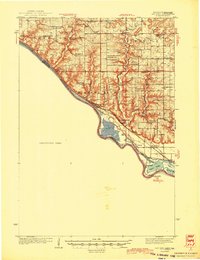
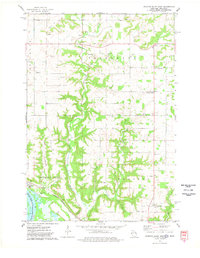
 1950 Maiden Rock1952 Print · USGSThe bluffs of Lake Pepin were a hive of rail and river activity at mid-century, supporting a dense network of upland farms and small towns. Researchers can trace rural life through dozens of named landmarks like Old Frontenac, the Villa Maria Academy, and Sleepy Hollow School.4 unique versions available
 - 1952 Map of Red Wing, 1954 Print
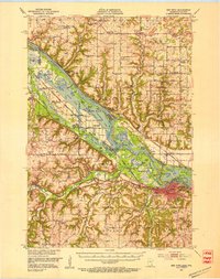 1952 Red Wing1954 Print · USGSRed Wing and the Mississippi River valley are shown here in the early fifties, a time when rail lines and river sloughs defined local geography. Genealogists can trace family names at the Vasa Childrens Home School No 3, St Johns Cem, and the Prairie Island Indian Reservation.3 unique versions available
 - 1953 Map of Saint Paul, 1964 Print
 1953 Saint Paul1964 Print · USGSThe Twin Cities and the Mississippi River valley are captured here at a mid-century turning point. Trace the early growth of Minneapolis and Saint Paul alongside landmarks like Lake Minnetonka and the St Croix River.4 unique versions available
 - 1959 Map of Saint Paul
 1959 Saint Paul1959 Print · USGSThe Twin Cities and southeastern Minnesota appear here in the late fifties, showing the peak of the rail era and post-war suburban growth. Genealogists can trace family footprints near Lake Minnetonka, the Univ Of Minn Rosemount Research Center, or the growing neighborhoods of Richfield.2 unique versions available
 - 1974 Map of River Falls East, 1977 Print
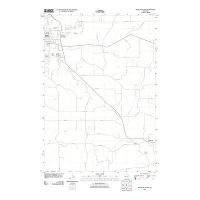
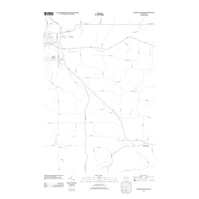
 1974 River Falls East1977 Print · USGSPierce County and the eastern edges of the Kinnickinnic Valley are captured in the mid-seventies just as the university campus was expanding. Researchers can trace rural life through the Old Railroad Grade, St Bridget Cem, and the remote Thurston Hill.
 - 1974 Map of Martell, 1977 Print
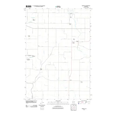
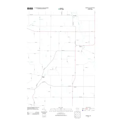
 1974 Martell1977 Print · USGSWestern Wisconsin's agricultural heartland is documented in the mid-1970s, showcasing the rural crossroads of Pierce County. Genealogists can locate family landmarks like Sunnyside Sch, Mt Olivet Cem, and the Rush River Ch.
 - 1974 Map of Diamond Bluff East, 1978 Print
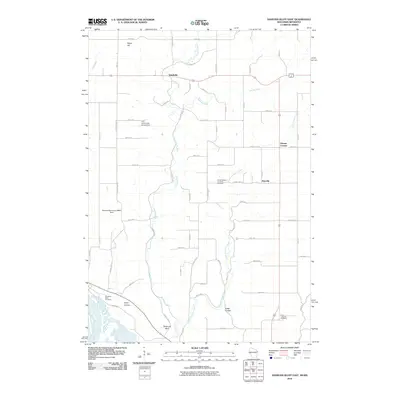
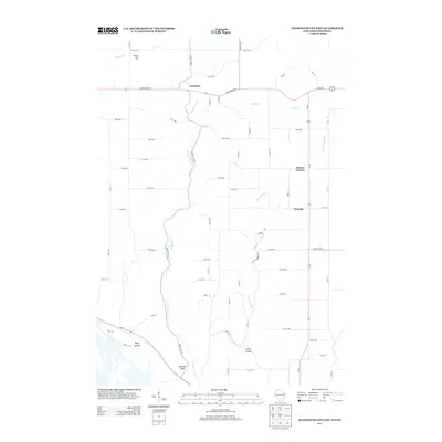
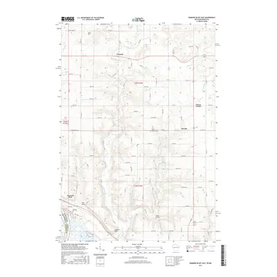
 1974 Diamond Bluff East1978 Print · USGSPierce County, Wisconsin, is captured in the mid-1970s as rural life persists along the Mississippi bluffs and the winding Trimbelle River. Genealogists and historians can trace the foundations of local communities through the Diamond Bluff Cem, Svea, and the Lindgren Sch.
 - 1974 Map of Ellsworth, 1978 Print
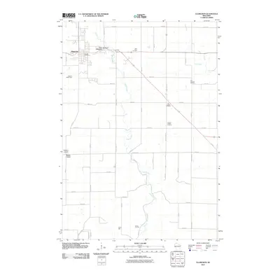
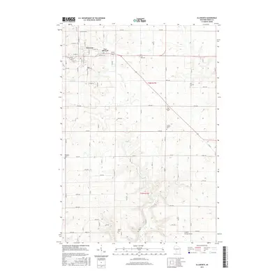
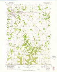 1974 Ellsworth1978 Print · USGSPierce County farming communities and rural townships are captured here in the mid-1970s as they balanced agricultural tradition with local industry. Researchers can locate family landmarks like Maple Grove Cemetery, the Old Grade rail trace, and the crossroads at Snows Corner.
 - 1985 Map of Hastings
 1985 Hastings1985 Print · USGSThe river valleys of the St. Croix and Mississippi dominate this mid-eighties landscape as they border Minnesota and Wisconsin. You can trace the boundaries of the Prairie Island Indian Res, find the old rail alignments of the SOO LINE, and locate remote bluffs like Rattlesnake Point.
 - 1990 Map of Hastings, 1991 Print
 1990 Hastings1991 Print · USGSThe river confluence at Hastings and Prescott is captured here in the final decade of the twentieth century, showing a landscape defined by the Mississippi River and St Croix River. Genealogists and historians can trace rail corridors like the Soo RR and find smaller settlements such as Miesville, Wacouta, and Diamond Bluff.
 - 2010 Map of Ellsworth, 2010 Print
 2010 Ellsworth2010 Print · USGSCovers Trimbelle, including Ellsworth, Trenton, and other nearby areas
 - 2010 Map of Martell, 2010 Print
 2010 Martell2010 Print · USGSCovers Trimbelle, including Ellsworth, River Falls, and other nearby areas
 - 2010 Map of River Falls East, 2010 Print
 2010 River Falls East2010 Print · USGSCovers Trimbelle, including River Falls, Town of River Falls, and other nearby areas
 - 2010 Map of Diamond Bluff East, 2010 Print
 2010 Diamond Bluff East2010 Print · USGSCovers Trimbelle, including Red Wing, Oak Grove, and other nearby areas
 - 2013 Map of Ellsworth, 2013 Print
 2013 Ellsworth2013 Print · USGSCovers Trimbelle, including Ellsworth, Trenton, and other nearby areas
 - 2013 Map of Martell, 2013 Print
 2013 Martell2013 Print · USGSCovers Trimbelle, including Ellsworth, River Falls, and other nearby areas
 - 2013 Map of Diamond Bluff East, 2013 Print
 2013 Diamond Bluff East2013 Print · USGSCovers Trimbelle, including Red Wing, Oak Grove, and other nearby areas
 - 2013 Map of River Falls East, 2013 Print
 2013 River Falls East2013 Print · USGSCovers Trimbelle, including River Falls, Town of River Falls, and other nearby areas
 - 2015 Map of Ellsworth, 2015 Print
 2015 Ellsworth2015 Print · USGSCovers Trimbelle, including Ellsworth, Trenton, and other nearby areas
 - 2015 Map of Diamond Bluff East, 2015 Print
 2015 Diamond Bluff East2015 Print · USGSCovers Trimbelle, including Red Wing, Oak Grove, and other nearby areas
Showing maps 1-25 of 35
Top cities near Trimbelle
- Red Wing historical maps
- River Falls historical maps
- Hudson historical maps
- Prescott historical maps
- Baldwin historical maps
- Ellsworth historical maps
See more
Top neighborhoods of Trimbelle
Frequently asked questions
- What are the different types of historical maps available for Trimbelle?
- What is the oldest map of Trimbelle?
- Where can I purchase historical maps of Trimbelle for my home or office?
- Where can I download high-res historical maps of Trimbelle?
- Are there historical topographic maps available for Trimbelle?
- Is there historical aerial imagery available for Trimbelle?
- Where are historical maps of Trimbelle sourced from?