2000s (21st Century) Maps of Dresser, Wisconsin
Explore 15 historic maps of Dresser from the 2000s (21st Century). These maps offer a rare glimpse into what life looked like during the 2000s — showing old roads, neighborhoods, homes, and landmarks that have changed or disappeared over time.
Whether you're researching your family's past, planning a metal detecting trip, or studying how Dresser's landscape evolved across the 2000s, these high-resolution maps are a powerful tool for exploring the history of this region.
- Focus on a specific era: All maps on this page are from the 2000s, giving you a focused view of this time period.
- See what’s changed: Compare century-old streets, trails, and buildings to today's modern landscape using overlays and satellite layers.
- Research with precision: Use these maps for genealogy, historical research, land use analysis, or educational projects.
- View, download, or print: Maps are fully viewable online in high resolution, and can be downloaded or printed for your own records.
Start exploring Dresser's history through authentic maps from the 2000s. This is your window into the past.
Dresser, WI maps
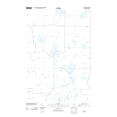
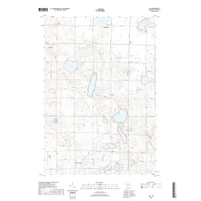
(15)- 2010 Map of Nye, 2010 Print
 2010 Nye2010 Print · USGSCovers Dresser, including Farmington, Nye, and other nearby areas
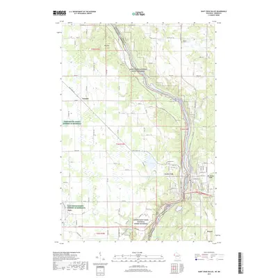
 - 2010 Map of Saint Croix Dalles, 2010 Print
 2010 Saint Croix Dalles2010 Print · USGSCovers Dresser, including Taylors Falls, Shafer, and other nearby areas
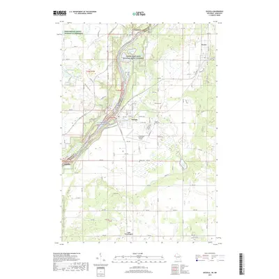
 - 2010 Map of Osceola, 2010 Print
 2010 Osceola2010 Print · USGSCovers Dresser, including Osceola, Town of Osceola, and other nearby areas
 - 2013 Map of Saint Croix Dalles, 2013 Print
 2013 Saint Croix Dalles2013 Print · USGSCovers Dresser, including Taylors Falls, Shafer, and other nearby areas
 - 2013 Map of Osceola, 2013 Print
 2013 Osceola2013 Print · USGSCovers Dresser, including Osceola, Town of Osceola, and other nearby areas
 - 2013 Map of Nye, 2013 Print
 2013 Nye2013 Print · USGSCovers Dresser, including Farmington, Nye, and other nearby areas
 - 2015 Map of Nye, 2015 Print
 2015 Nye2015 Print · USGSCovers Dresser, including Farmington, Nye, and other nearby areas
 - 2015 Map of Osceola, 2015 Print
 2015 Osceola2015 Print · USGSCovers Dresser, including Osceola, Town of Osceola, and other nearby areas
 - 2015 Map of Saint Croix Dalles, 2015 Print
 2015 Saint Croix Dalles2015 Print · USGSCovers Dresser, including Taylors Falls, Shafer, and other nearby areas
 - 2018 Map of Nye, 2018 Print
 2018 Nye2018 Print · USGSCovers Dresser, including Farmington, Nye, and other nearby areas
 - 2019 Map of Saint Croix Dalles, 2019 Print
 2019 Saint Croix Dalles2019 Print · USGSCovers Dresser, including Taylors Falls, Shafer, and other nearby areas
 - 2019 Map of Osceola, 2019 Print
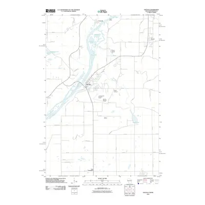
 2019 Osceola2019 Print · USGSCovers Dresser, including Osceola, Town of Osceola, and other nearby areas
 - 2022 Map of Nye, 2022 Print
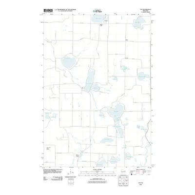
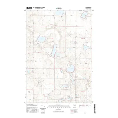
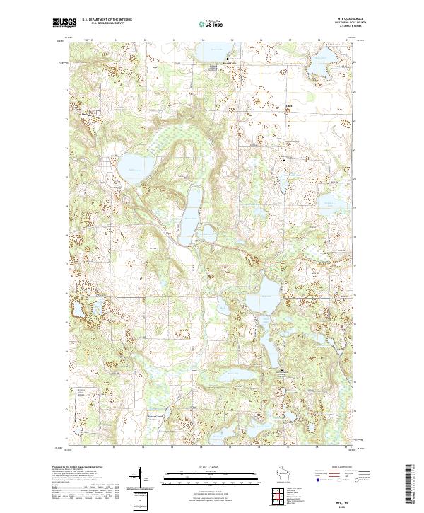 2022 Nye2022 Print · USGSThe glacial lake country of Polk County is captured here in the early twenty-first century, showing the rural landscape around Dresser and Nye. Researchers can trace old family names at El Salem Cem or follow the Stower Seven Lakes State Trl through this water-rich terrain.
 - 2022 Map of Saint Croix Dalles, 2022 Print
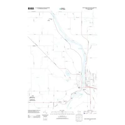
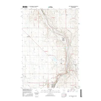
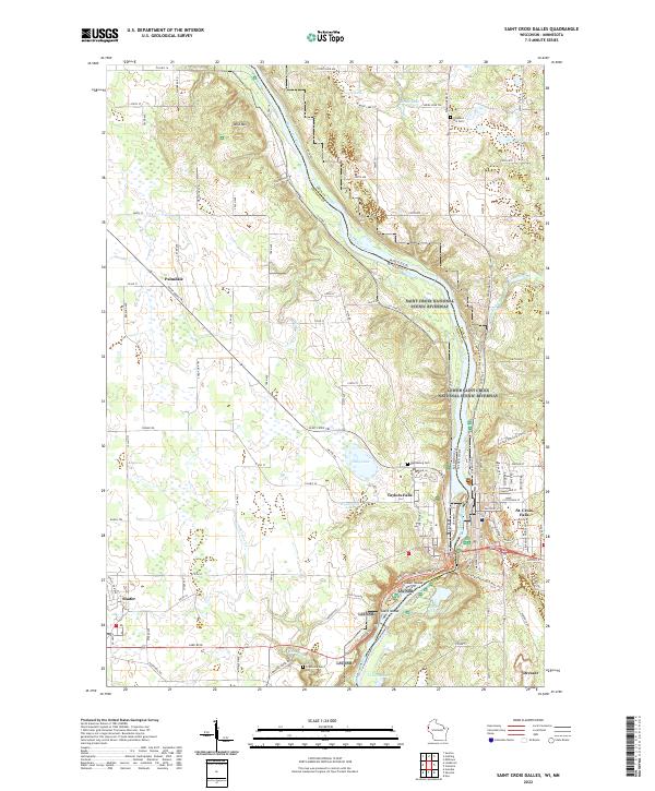 2022 Saint Croix Dalles2022 Print · USGSThe border between Minnesota and Wisconsin comes alive in the early twenty-first century at the dalles of the Saint Croix River. Local historians can trace the layouts of Taylors Falls and St. Croix Falls or locate family sites near Pleasant Hill Cem and Shafer.
 - 2022 Map of Osceola, 2022 Print
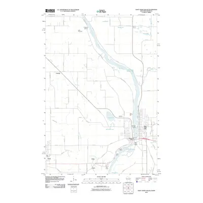
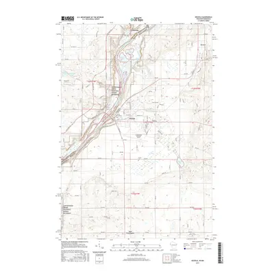
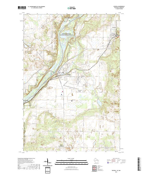 2022 Osceola2022 Print · USGSThe St. Croix River valley comes into sharp focus during the 2020s, revealing the modern layouts of Osceola, Dresser, and Franconia. Researchers can locate family sites at Mount Hope Cem or trace the protected wetlands of the Lower Saint Croix National Scenic Riverway.
End of results
Showing maps 1-15 of 15
Top cities near Dresser
- New Richmond historical maps
- Lindström historical maps
- Somerset historical maps
- Town of Star Prairie historical maps
- Osceola historical maps
- Town of Alden historical maps
See more
Frequently asked questions
- What are the different types of historical maps available for Dresser?
- What is the oldest map of Dresser?
- Where can I purchase historical maps of Dresser for my home or office?
- Where can I download high-res historical maps of Dresser?
- Are there historical topographic maps available for Dresser?
- Is there historical aerial imagery available for Dresser?
- Where are historical maps of Dresser sourced from?