Old Maps of Luck, Wisconsin for Academic Research
Study the evolution of Luck with 38 high-resolution historic maps. Whether you're teaching, researching, or modeling changes in land use, these maps provide essential visual documentation of urban, environmental, and geographic change.
- Analyze long-term change: Track patterns in development, transportation, and natural features.
- Ideal for environmental or urban studies: Support academic projects with primary historical map data.
- Use in the classroom or lab: Educators and researchers rely on these maps to bring historical context to life.
These maps are a powerful tool for teaching, research, and visualizing how Luck has changed over the decades.
Luck, WI maps
(38)- 1951 Map of Milltown
 1951 Milltown1951 Print · USGSPolk County at the close of the 1940s reveals a dense network of rural schoolhouses and lakeside settlements. Trace the history of small communities like West Denmark and Cushing, or locate ancestral sites like Bethany Ch and Union Cem.
 - 1951 Map of Frederic
 1951 Frederic1951 Print · USGSPolk and Burnett counties are captured here just after the war, showing a landscape defined by rail and water. Researchers can trace family roots through numerous sites like St Peters Cem, Lincoln Sch, and the village of Frederic.
 - 1953 Map of Stillwater, 1980 Print
 1953 Stillwater1980 Print · USGSThe Twin Cities and the St. Croix Valley are captured in this mid-century survey as the interstate era began to transform the Upper Midwest. Genealogists and historians can trace the rail-and-river geography of Stillwater, locate landmarks in Anoka, or explore the sprawling St Croix State Park.
 - 1955 Map of Frederic, 1957 Print
 1955 Frederic1957 Print · USGSNorthwestern Wisconsin’s lake country is captured here in the mid-fifties as small towns like Frederic and Luck thrived along the Soo Line. Genealogists and local historians can pinpoint many rural landmarks, including Lawson Cem, Zion Ch, and several township schools.
 - 1955 Map of Milltown, 1957 Print
 1955 Milltown1957 Print · USGSNorthwestern Wisconsin’s lake country is captured here in the mid-fifties, showing a landscape defined by small-scale dairy farming and glacial geography. Genealogists can locate numerous rural schoolhouses and country churches like Bethany Ch, North Valley Ch, and Alabama Sch.4 unique versions available
 - 1955 Map of Stillwater, 1965 Print
 1955 Stillwater1965 Print · USGSThe Upper St. Croix Valley and the growing Twin Cities area are shown here during the mid-fifties, before the interstate era transformed the regional commute. You can trace the lines of the Northern Pacific RR through towns like Rush City or locate the Saint Croix Indian Reservation.
 - 1958 Map of Stillwater
 1958 Stillwater1958 Print · USGSThe Upper Mississippi and St. Croix River valleys appear in the mid-fifties as the Twin Cities expanded north. Genealogists can locate family landmarks like Oak Park Cem, Saint Michael Church, and the Soo Line RR rail corridors.2 unique versions available
 - 1965 Map of Stillwater
 1965 Stillwater1965 Print · USGSThe Twin Cities and the St. Croix Valley are mapped here during a period of significant post-war growth and industrial transit. Genealogists and historians can trace rail lines like the Northern Pacific RR through towns such as Rush City, Amery, and Balsam Lake.
 - 1974 Map of Frederic SW, 1976 Print
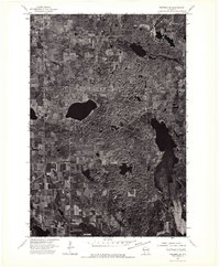 1974 Frederic SW1976 Print · USGSNorthwestern Wisconsin's agricultural and lake country is captured here during the mid-seventies via high-resolution aerial imagery. Trace the rural development and land patterns around the village of Luck as they appeared decades ago.
 - 1974 Map of Milltown SE, 1976 Print
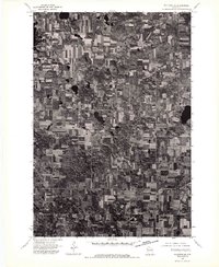 1974 Milltown SE1976 Print · USGSMid-1970s Polk County comes into sharp focus in this aerial study of the dairy and timber lands surrounding the village of Milltown. Genealogists and local historians can trace exact 1970s farmstead footprints and property lines across the rural landscape.
 - 1974 Map of Milltown NE, 1976 Print
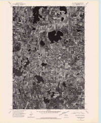 1974 Milltown NE1976 Print · USGSNorthwestern Wisconsin’s glaciated terrain is captured in detail during the mid-seventies through this aerial survey. Local historians and land researchers can trace the development of small-town rural life near Atlas and study the historic footprint of farming across this lake-heavy landscape.
 - 1974 Map of Frederic NW, 1976 Print
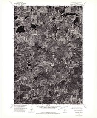 1974 Frederic NW1976 Print · USGSNorthwest Wisconsin's agricultural and forest lands are captured in the mid-seventies, showing the rural layout of Polk County. Genealogists and land researchers can trace the settlement of Lewis and the specific boundaries of period woodlots and farmsteads.
 - 1975 Map of Stillwater
 1975 Stillwater1975 Print · USGSThe Twin Cities and the St. Croix Valley are captured in the mid-seventies, showing the urban growth of Minneapolis and St Paul. Researchers can trace old rail corridors of the Northern Pacific RR and locate tribal lands at the Mille Lacs Indian Reservation.2 unique versions available
 - 1983 Map of Frederic
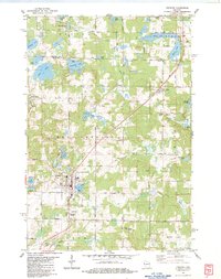 1983 Frederic1983 Print · USGSThe northwestern Wisconsin lake country is captured here in the early eighties, centered on the rail-line communities of Frederic and Lewis. Researchers can trace local genealogy and land use through the Frederic Cem, the Soo Line tracks, and the Fish Hatchery.
 - 1983 Map of Milltown
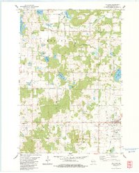 1983 Milltown1983 Print · USGSNorthwest Wisconsin in the early eighties shows a landscape of glacial lakes and tight-knit rural townships. Trace family history at Pleasant Valley Cem, follow the Soo Line rail corridor through Milltown, or locate old landmarks like Trade and Laketown Ch.
 - 1983 Map of Luck
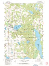 1983 Luck1983 Print · USGSWisconsin's lakeland terrain is captured here in the early eighties, centered on the villages of Luck and Milltown. Genealogists and local historians can trace the SOO LINE rail route or locate rural landmarks like St Peters Cem and Butternut Cem.
 - 1983 Map of Trade Lake
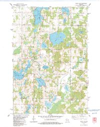 1983 Trade Lake1983 Print · USGSBurnett County and the surrounding lake country are shown here in the early 1980s, revealing a landscape of family-named lakes and rural crossroads. Genealogists and local historians can trace the sites of the Mission Ch, the Union Cem, and small settlements like Atlas and Trade Lake.
 - 1985 Map of Grantsburg
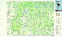 1985 Grantsburg1985 Print · USGSThe river borderlands of Minnesota and Wisconsin come alive in the mid-1980s, showcasing the intricate water networks and forest preserves of Burnett and Pine counties. Trace the rail lines of the Soo Line or find rural landmarks like Trade Lake Ch and Hildas Corner.2 unique versions available
 - 2010 Map of Milltown, 2010 Print
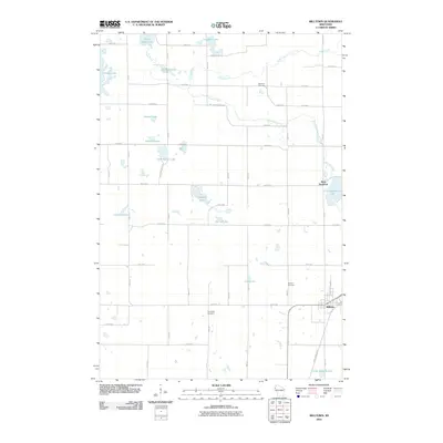 2010 Milltown2010 Print · USGSPolk County at the start of the decade shows a landscape where the village of Milltown meets a dense network of glacial lakes and rural townships. Trace local family history through Evergreen Cemetery or follow the recreational path of the Gandy Dancer Trl.
 - 2010 Map of Luck, 2010 Print
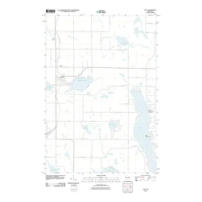 2010 Luck2010 Print · USGSLuck and its surrounding lake country are shown at the start of the 2010s, centered on the historic Gandy Dancer Trl corridor. Genealogists and local historians can locate Saint Peters Cemetery, the Sherwood-Ryan Flowage G4559 Dam, and Bald Eagle Island on Bone Lake.
 - 2010 Map of Trade Lake, 2010 Print
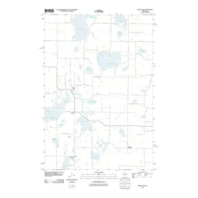 2010 Trade Lake2010 Print · USGSBurnett County’s lake country is captured here in the early twenty-first century, showing a landscape defined by glacial waters and rural crossroads. Researchers can trace local landmarks like the Atlas Feed Mill Mill Dam, Union Cemetery, and the settlement of Trade Lake.
 - 2010 Map of Frederic, 2010 Print
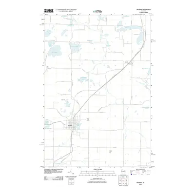 2010 Frederic2010 Print · USGSFrederic and the surrounding Polk County lake country are captured here in the early twenty-first century. Genealogists and hikers can trace the Gandy Dancer Trl and locate local landmarks like the Frederic Lookout Tower and West Sweden.
 - 2013 Map of Trade Lake, 2013 Print
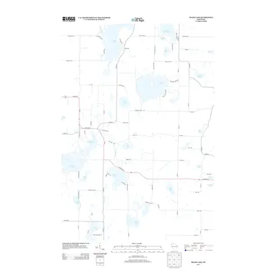 2013 Trade Lake2013 Print · USGSNorthern Wisconsin's lake country is captured here in the early twenty-first century, showing a landscape defined by glacial waters. Researchers can trace family-named landmarks like Gabrielson Lake and Grimhs Lake or the course of the Trade River.
 - 2013 Map of Frederic, 2013 Print
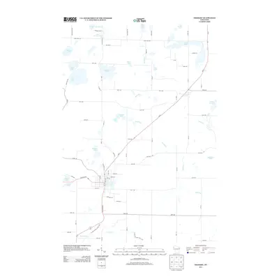 2013 Frederic2013 Print · USGSPolk County at the start of the 2010s reveals a dense network of glacial lakes surrounding the village of Frederic. Researchers can trace the development of local corridors near Coon Lake and identify family landmarks such as Bernie Rd and Hickory Lake.
 - 2013 Map of Milltown, 2013 Print
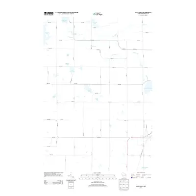 2013 Milltown2013 Print · USGSPolk County's lake-strewn landscape is documented here in the early twenty-first century as a network of rural homesteads and glacial waters. Genealogists can locate family-named landmarks such as Clauson Lake and Wallin Lake or trace the Trade River.
Showing maps 1-25 of 38
Top cities near Luck
- Grantsburg historical maps
- Frederic historical maps
- Luck historical maps
- Balsam Lake historical maps
- Taylors Falls historical maps
- Centuria historical maps
See more
Top neighborhoods of Luck
Frequently asked questions
- What are the different types of historical maps available for Luck?
- What is the oldest map of Luck?
- Where can I purchase historical maps of Luck for my home or office?
- Where can I download high-res historical maps of Luck?
- Are there historical topographic maps available for Luck?
- Is there historical aerial imagery available for Luck?
- Where are historical maps of Luck sourced from?