Old Maps of Sharon, Wisconsin
Explore 27 old maps of Sharon, spanning from 1955 to today. These high-resolution historic maps reveal how streets, neighborhoods, landmarks, and natural features evolved over time — perfect for genealogy, metal detecting, research, and local history exploration.
What you can do with these maps:
- See how Sharon changed over time: Compare historical maps to modern-day views to trace roads, homesites, rail lines & more.
- View detailed metadata: Each map includes creators, publishers, year, scale, and archive source.
- Overlay maps with satellite & LiDAR: Visualize the past alongside modern tools to explore terrain & human change.
- Trusted historical sources: Maps sourced from the USGS, Library of Congress, and other archives.
- Access maps your way: View online, download high-res files, or order prints for personal or research use.
Start exploring old maps of Sharon to uncover forgotten places, hidden landmarks, and the deep history beneath your feet.
Sharon, WI maps
(27)- 1955 Map of Rosholt, 1957 Print
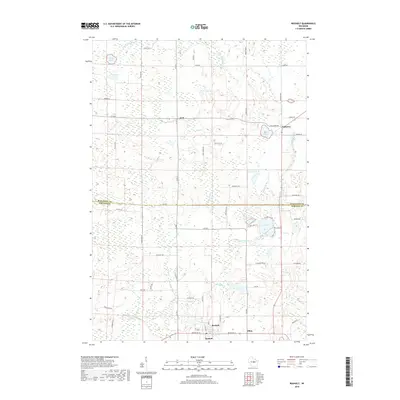
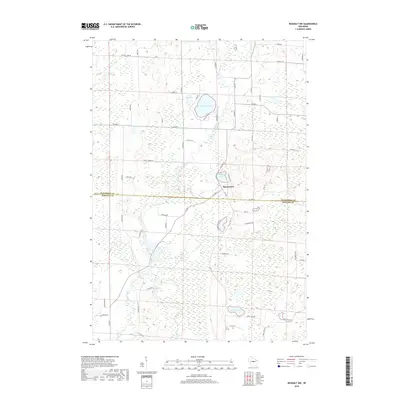
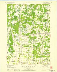 1955 Rosholt1957 Print · USGSPortage County’s rural landscape comes alive in the mid-fifties, showing the intersection of rail transport and small-town commerce. Researchers can trace family roots at St Marys Ch, locate vanished schoolhouses like Oakland Sch, or explore the rail corridor near Nelsonville.2 unique versions available
 - 1955 Map of Green Bay, 1968 Print
 1955 Green Bay1968 Print · USGSCentral and Eastern Wisconsin are captured here in the mid-fifties, showing the industrial growth of the Fox Valley and Wisconsin River corridors. Genealogists and historians can trace rail lines like the Green Bay and Western through settlements like Weyauwega, Clintonville, and Pulaski.2 unique versions available
 - 1969 Map of Rosholt, 1972 Print
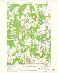 1969 Rosholt1972 Print · USGSCentral Wisconsin's glaciated landscape is shown here in the late sixties, capturing the rural communities and lake-rich terrain of Portage County. Genealogists can trace family footprints near Rosholt, the Old Railroad Grade, and the small settlement of Galloway.2 unique versions available
 - 1969 Map of New Hope, 1972 Print
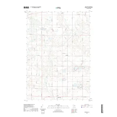
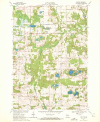 1969 New Hope1972 Print · USGSPortage County at the end of the sixties is a landscape of glacial lakes and tight-knit rural communities. Genealogists and local historians can trace the foundations of the area through landmarks like North New Hope Ch, Nelsonville Cem, and the St Adalbert Sch.2 unique versions available
 - 1969 Map of Rosholt NW, 1972 Print
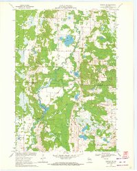 1969 Rosholt NW1972 Print · USGSThe Marathon and Portage county line bisects this rural Wisconsin landscape during the late sixties, a region defined by its glacial lakes and river bends. Trace local roots around Shantytown or explore the waterways of Big Bass Lake and Bentley Pond.2 unique versions available
 - 1969 Map of Polonia, 1972 Print
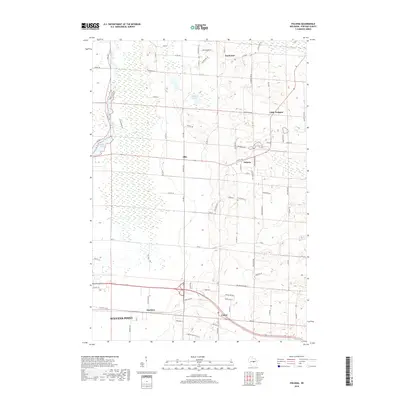
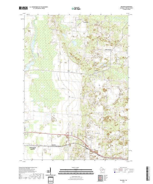
 1969 Polonia1972 Print · USGSPortage County’s rural character is on full display in this late 1960s survey, showing a landscape shaped by parish life and glacial terrain. You can trace the Soo Line through Custer, find small schools like Sacred Heart Sch, and explore the vast Jordan Swamp.2 unique versions available
 - 1984 Map of Wausau, 1990 Print
 1984 Wausau1990 Print · USGSMarathon and Portage counties come into focus during the mid-eighties as industrial river towns and sprawling conservation areas define the Central Wisconsin landscape. Researchers can trace the rail corridors of the Soo Line or locate rural landmarks like Rib Mountain State Park and St Marys Cem.
 - 2010 Map of Rosholt NW, 2010 Print
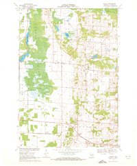
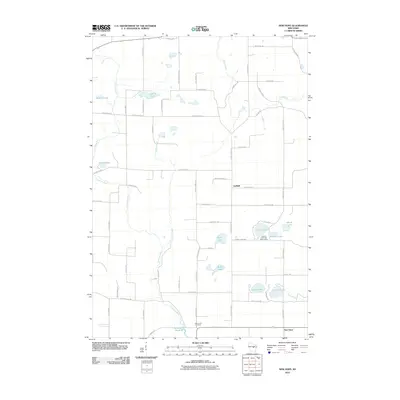
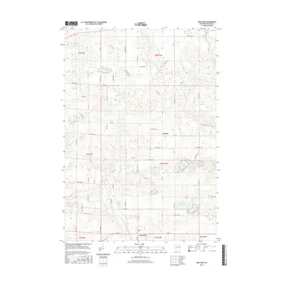
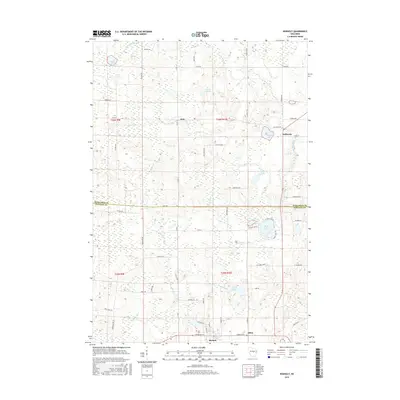
 2010 Rosholt NW2010 Print · USGSCovers Sharon, including Dewey, Bevent, and other nearby areas
 - 2010 Map of Rosholt, 2010 Print
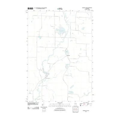
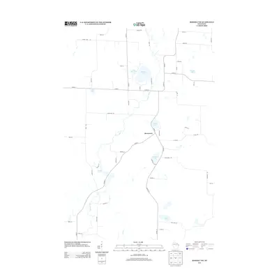
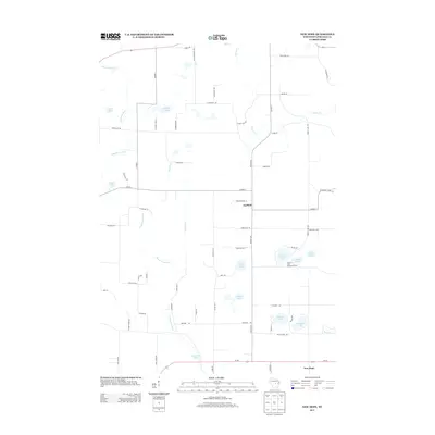
 2010 Rosholt2010 Print · USGSCovers Sharon, including Alban, Rosholt, and other nearby areas
 - 2010 Map of Polonia, 2010 Print
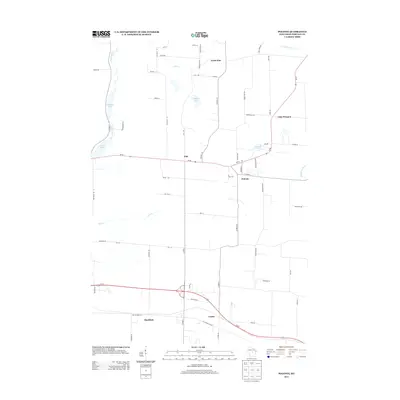
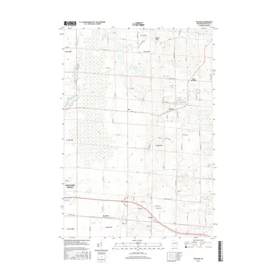
 2010 Polonia2010 Print · USGSCovers Sharon, including Stevens Point, Stockton, and other nearby areas
 - 2010 Map of New Hope, 2010 Print
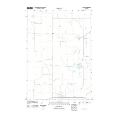
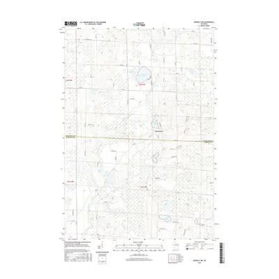
 2010 New Hope2010 Print · USGSCovers Sharon, including Stockton, Alban, and other nearby areas
 - 2013 Map of Rosholt NW, 2013 Print
 2013 Rosholt NW2013 Print · USGSCovers Sharon, including Dewey, Bevent, and other nearby areas
 - 2013 Map of Rosholt, 2013 Print
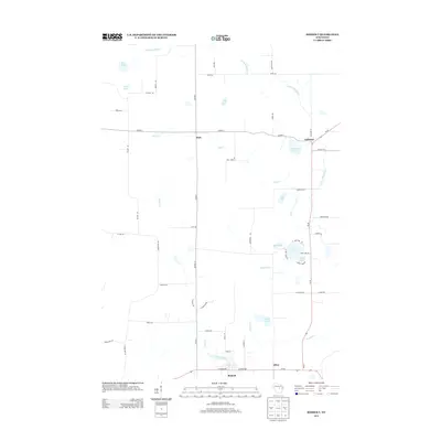 2013 Rosholt2013 Print · USGSCovers Sharon, including Alban, Rosholt, and other nearby areas
 - 2013 Map of Polonia, 2013 Print
 2013 Polonia2013 Print · USGSCovers Sharon, including Stevens Point, Stockton, and other nearby areas
 - 2013 Map of New Hope, 2013 Print
 2013 New Hope2013 Print · USGSCovers Sharon, including Stockton, Alban, and other nearby areas
 - 2015 Map of New Hope, 2015 Print
 2015 New Hope2015 Print · USGSCovers Sharon, including Stockton, Alban, and other nearby areas
 - 2015 Map of Rosholt NW, 2015 Print
 2015 Rosholt NW2015 Print · USGSCovers Sharon, including Dewey, Bevent, and other nearby areas
 - 2015 Map of Polonia, 2015 Print
 2015 Polonia2015 Print · USGSCovers Sharon, including Stevens Point, Stockton, and other nearby areas
 - 2015 Map of Rosholt, 2015 Print
 2015 Rosholt2015 Print · USGSCovers Sharon, including Alban, Rosholt, and other nearby areas
 - 2018 Map of New Hope, 2018 Print
 2018 New Hope2018 Print · USGSCovers Sharon, including Stockton, Alban, and other nearby areas
 - 2018 Map of Polonia, 2018 Print
 2018 Polonia2018 Print · USGSCovers Sharon, including Stevens Point, Stockton, and other nearby areas
 - 2018 Map of Rosholt, 2018 Print
 2018 Rosholt2018 Print · USGSCovers Sharon, including Alban, Rosholt, and other nearby areas
 - 2018 Map of Rosholt NW, 2018 Print
 2018 Rosholt NW2018 Print · USGSCovers Sharon, including Dewey, Bevent, and other nearby areas
 - 2022 Map of Polonia, 2022 Print
 2022 Polonia2022 Print · USGSPortage County at the start of the 2020s reveals a patchwork of small crossroads communities and glacial water bodies. Genealogists and local historians can trace family-named routes and longstanding hamlets like Polonia, Ellis, and Custer.
 - 2022 Map of Rosholt NW, 2022 Print
 2022 Rosholt NW2022 Print · USGSMarathon and Portage counties are shown here in the 2020s, where the winding Plover River cuts through a dense glacial landscape. Researchers can locate the rural settlement of Shantytown and trace local access to Big Bass Lake and Twin Lakes.
Showing maps 1-25 of 27
Top cities near Sharon
- Stevens Point historical maps
- Plover historical maps
- Kronenwetter historical maps
- Mosinee historical maps
- Stockton historical maps
- Knowlton historical maps
See more
Top neighborhoods of Sharon
Frequently asked questions
- What are the different types of historical maps available for Sharon?
- What is the oldest map of Sharon?
- Where can I purchase historical maps of Sharon for my home or office?
- Where can I download high-res historical maps of Sharon?
- Are there historical topographic maps available for Sharon?
- Is there historical aerial imagery available for Sharon?
- Where are historical maps of Sharon sourced from?