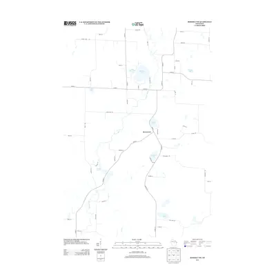
2013 Map of Rosholt NW
USGS Topo · Published 2013About this map
Shantytown stands as the primary settlement hub in this part of Portage County, situated amidst a dense network of glacial water bodies and meandering streams. The Plover River carves a winding path through the center of the landscape, feeding into and passing by numerous named basins such as Bentley Pond and Wadley Lake. This region of Wisconsin is defined by its post-glacial topography, where high concentrations of small lakes like Big Bass Lake, Little Bass Lake, and the Chain Lakes dictated the early road patterns and property boundaries. A mix of county highways and local routes like Ice Age Ln and Pinery Rd connect the scattered homesteads, reflecting a rural economy traditionally tied to the land and its abundant water resources. Researchers will find a detailed look at the hydrology of the area, including smaller tributaries like N Cr and Lost Cr.
Find a feature on this map
51 named features on this map. Tap any name to fly to it.
Don’t see what you’re looking for? This feature index may not catch every label — zoom into the map to look around manually.
Map Details
Editions of this 2013 Rosholt NW Map
This is the sole edition of this map. No revisions or reprints were ever made.
Other maps of this area

1899 · Wausau
USGS Topo · 1:125,000

1902 · Wausau
USGS Topo · 1:125,000

1953 · Wausau
USGS Topo · 1:48,000

1953 · Hatley
USGS Topo · 1:48,000

1955 · Rosholt
USGS Topo · 1:48,000

1955 · Green Bay
USGS Topo · 1:250,000

1956 · Stevens Point
USGS Topo · 1:48,000

1963 · Wausau
USGS Topo · 1:62,500

1964 · Hatley
USGS Topo · 1:62,500

1969 · Rosholt
USGS Topo · 1:24,000