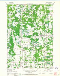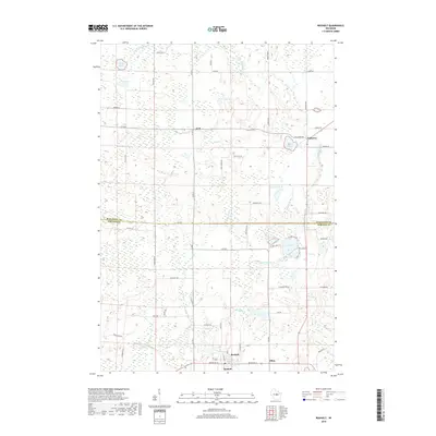
1969 Map of Rosholt
USGS Topo · Published 1972About this map
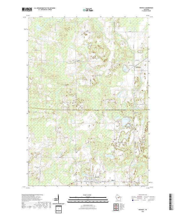
Glacial topography and a network of freshwater lakes define this portion of Portage and Marathon Counties in the late 1960s. The village of Rosholt serves as a primary southern hub, situated near the headwaters of Flume Creek and Bradley Creek. The landscape is dotted with numerous kettle lakes and wetlands, including Tree Lake, Mud Lake, and Moen Lake, many of which were mapped with depth data provided by the Wisconsin Department of Natural Resources. An Old Railroad Grade cutting through the center of the sheet reveals the legacy of local timber or agricultural transit, connecting the rural community of Holt toward the northeastern settlement of Galloway. Farther north, the Little Wolf River meanders through the township of Franzen, while leisure spaces like Peterson Park and Lions Lake highlight the area's recreational development during this era of rural Wisconsin life.
Find a feature on this map
25 named features on this map. Tap any name to fly to it.
Don’t see what you’re looking for? This feature index may not catch every label — zoom into the map to look around manually.
Map Details
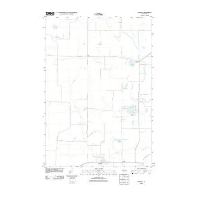
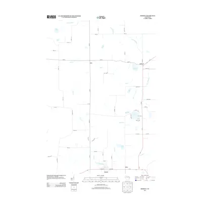
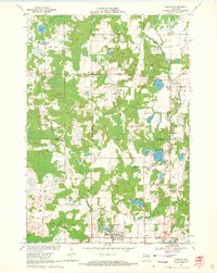
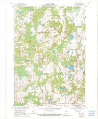
Editions of this 1969 Rosholt Map
2 editions found
Historical Maps of Alban Through Time
7 maps found