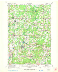
1954 Map of Wittenberg
USGS Topo · Published 1956About this map
The Chicago And North Western railroad network serves as the industrial backbone for this section of Shawano and Marathon counties, connecting the primary timber and agricultural hubs of Wittenberg and Birnamwood. The landscape is defined by the complex drainage of the Embarrass River and its various tributaries, including the Middle Branch Embarrass River and South Branch Embarrass River. This mid-century survey reveals a transition in rural education, marking numerous schoolhouses such as Norway Sch alongside several noted as discontinued, including Balsam Grove Sch (Abandoned) and Loken Sch (Abandoned). Local religious and civic life is centered around landmarks like the Scandinavian Ch and St Philomena Ch, while the Morris Lookout Tower and Kolpack Lookout Tower stand as sentinels over the wooded terrain.
Find a feature on this map
76 named features on this map. Tap any name to fly to it.
Don’t see what you’re looking for? This feature index may not catch every label — zoom into the map to look around manually.
Map Details
Editions of this 1954 Wittenberg Map
This is the sole edition of this map. No revisions or reprints were ever made.
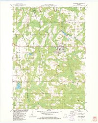
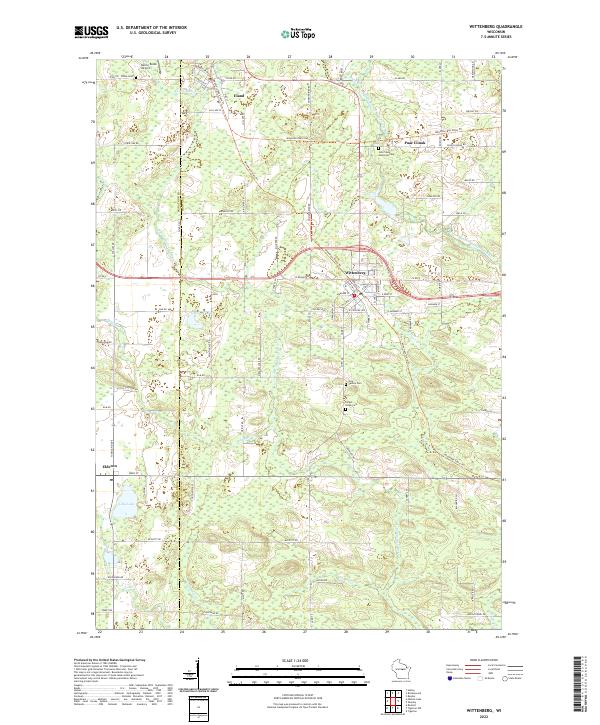
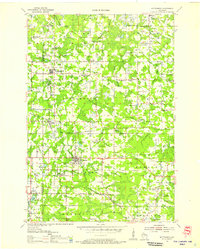
Historical Maps of Wittenberg Through Time
4 maps found