Loading...
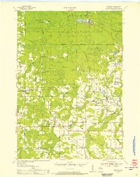
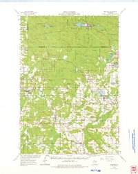
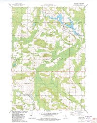
Loading map...1954 Map of Gresham
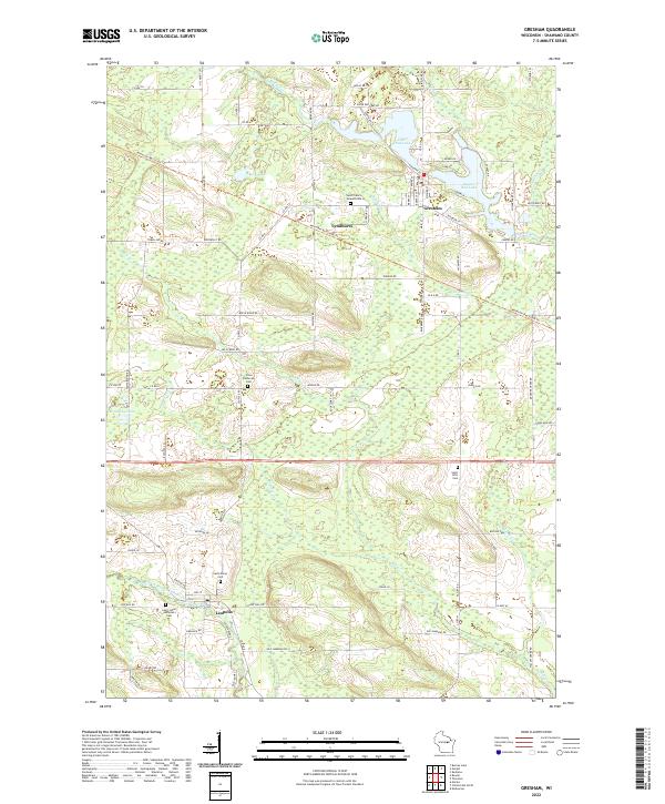
USGS Topo · Published 1956About this map
The Menominee Indian Reservation occupies the northern half of this mid-century landscape, centered on the mill town of Neopit along the West Branch Wolf River. This area is defined by a dense network of timber resources and early industrial development, where the Wolf River passes through landmarks like Peavey Falls. Further south, the terrain transitions into the agricultural and small-town grid of Shawano County, featuring the villages of Gresham, Bowler, and Leopolis.
Find a feature on this map
67 named features on this map. Tap any name to fly to it.
Don’t see what you’re looking for? This feature index may not catch every label — zoom into the map to look around manually.
Map Details
Date Portrayed1954
Date Published1956
PublisherU.S. Geological Survey
Map TypeTopographic
Scale1:48,000
Physical Dimensions21.57 x 27.29 inches
Editions of this 1954 Gresham Map
This is the sole edition of this map. No revisions or reprints were ever made.
Historical Maps of Pella Through Time
4 maps found
Featured Locations
Source Details
SourceU.S. Geological Survey
CopyrightPublic Domain