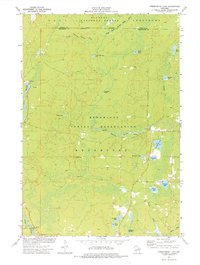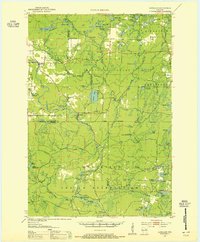
1952 Map of Langlade
USGS Topo · Published 1955About this map
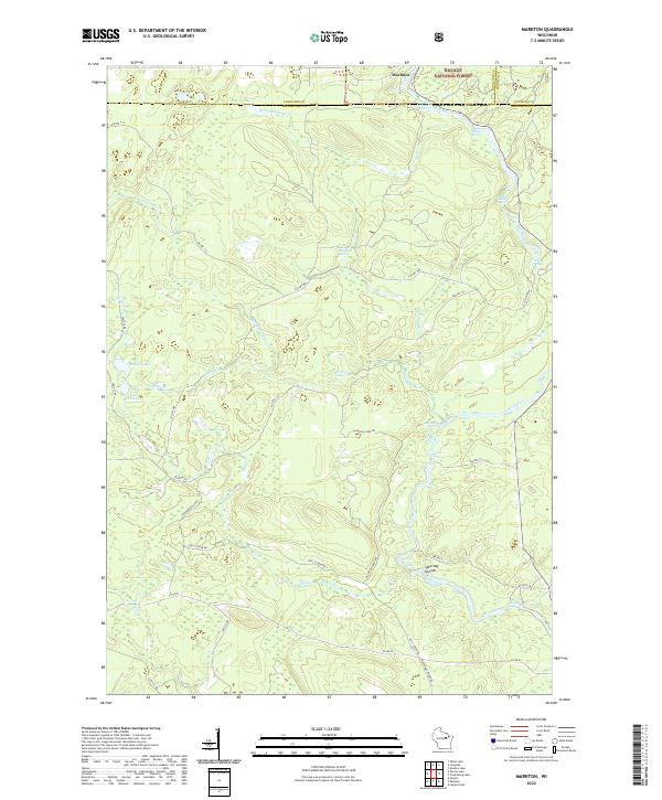
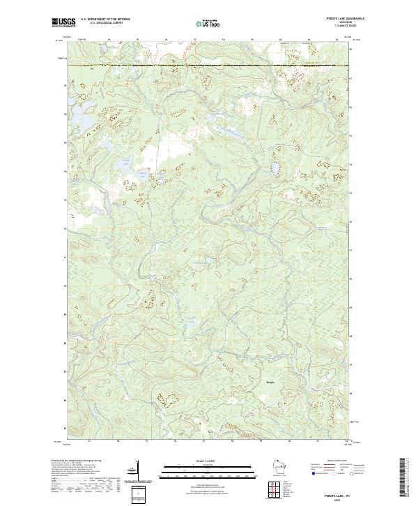
The Menominee Indian Reservation and Nicolet National Forest dominate this landscape, which is defined by the winding course of the Oconto River. Compiled from 1950 aerial photography, the map reveals a region transitioning from timber extraction to seasonal recreation and conservation. Cultural landmarks like the Gardner Dam Boy Scout Camps and South Branch Ranger Station are prominent, alongside essential fire-watch infrastructure such as the Boulder Lake Lookout Tower and La Belle Lookout Tower. Small settlements and points of interest including Langlade, the Markton PO, and a Town Hall provide a glimpse into mid-century civic life in these northern woods. The river system features distinctive natural formations like The Dalles and Saturday Islands, while the southern reaches near St Joseph Ch and St Joseph Lake show the intersection of local community life and the protected reservation boundary.
Find a feature on this map
77 named features on this map. Tap any name to fly to it.
Don’t see what you’re looking for? This feature index may not catch every label — zoom into the map to look around manually.
Map Details
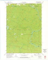
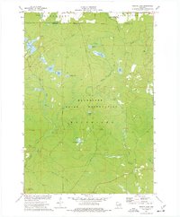
Editions of this 1952 Langlade Map
2 editions found

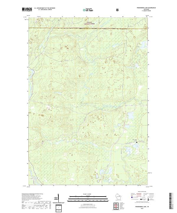
Historical Maps of Mountain Through Time
7 maps found