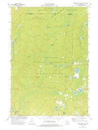
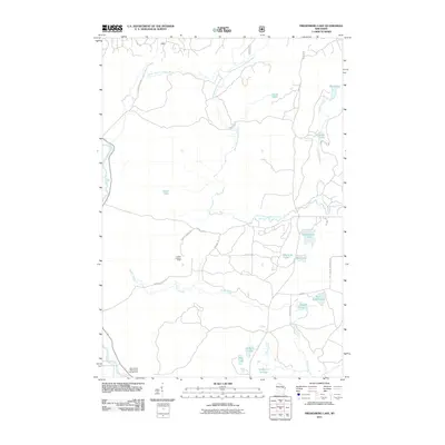
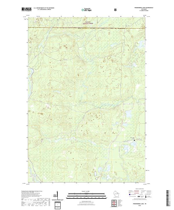
1973 Map of Fredenberg Lake
USGS Topo · Published 1977About this map
The Menominee Indian Reservation and Nicolet National Forest dominate this 1970s landscape, where the South Branch Oconto River and First South Branch Oconto River wind through a dense network of glacial lakes and wetlands. The map illustrates a region defined by its timber and water resources, featuring a Community Center near the banks of the Oconto and a Campground at the southern edge near the Wolf River.
Find a feature on this map
28 named features on this map. Tap any name to fly to it.
Don’t see what you’re looking for? This feature index may not catch every label — zoom into the map to look around manually.
Map Details
Editions of this 1973 Fredenberg Lake Map
This is the sole edition of this map. No revisions or reprints were ever made.
Historical Maps of Mountain Through Time
19 maps found

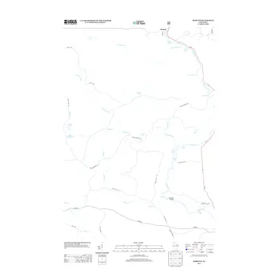
1952 Langlade
Menominee County, WI
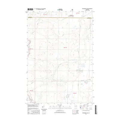
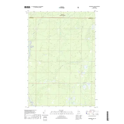
1973 Fredenberg Lake
Menominee County, WI
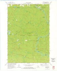
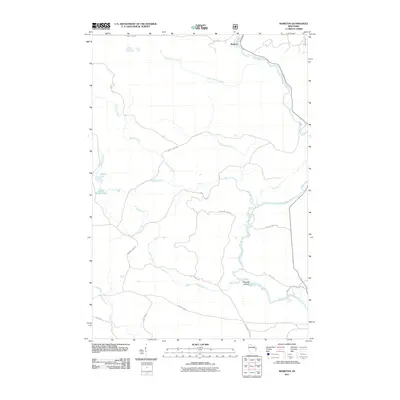
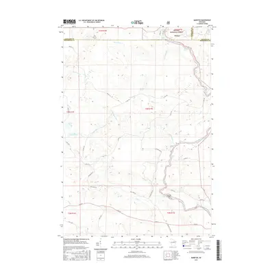
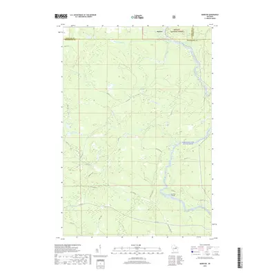
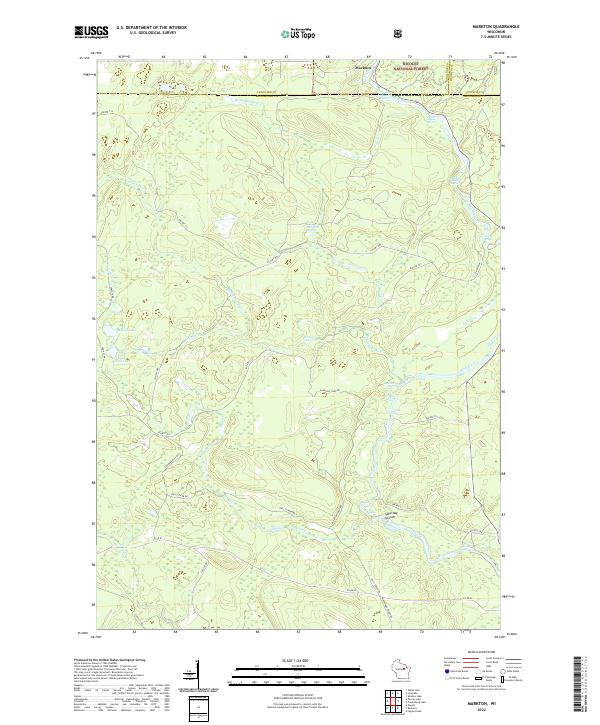
1973 Markton
Menominee County, WI
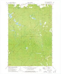
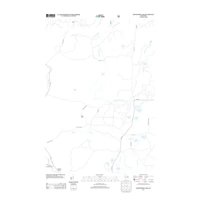
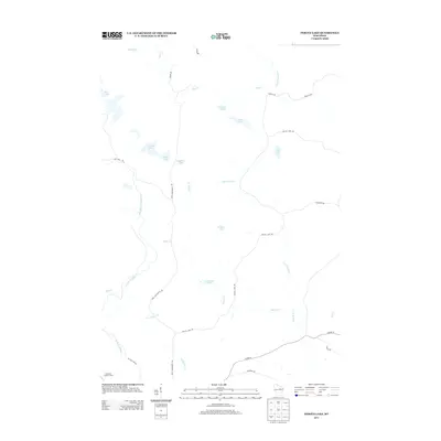
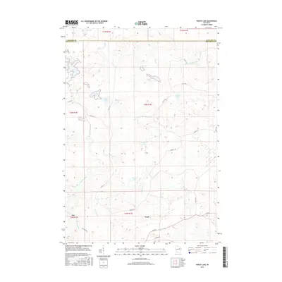
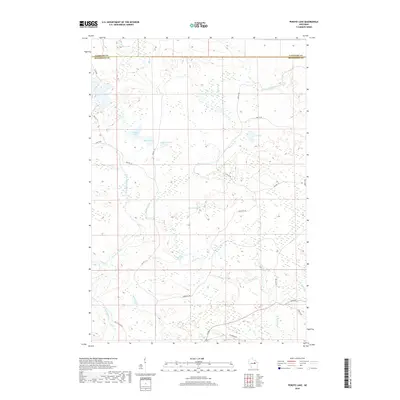
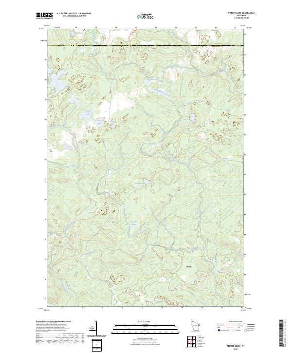
1973 Perote Lake
Menominee County, WI
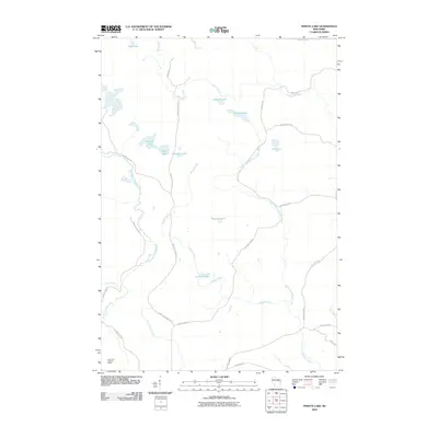
2010 Perote Lake
Menominee County, WI
2011 Fredenberg Lake
Menominee County, WI
2011 Markton
Menominee County, WI
2013 Fredenberg Lake
Menominee County, WI
2013 Markton
Menominee County, WI
2013 Perote Lake
Menominee County, WI
2015 Fredenberg Lake
Menominee County, WI
2015 Markton
Menominee County, WI
2015 Perote Lake
Menominee County, WI
2018 Perote Lake
Menominee County, WI
2019 Fredenberg Lake
Menominee County, WI
2019 Markton
Menominee County, WI
2022 Fredenberg Lake
Menominee County, WI
2022 Markton
Menominee County, WI
2023 Perote Lake
Menominee County, WI