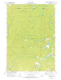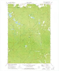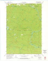
1973 Map of Markton
USGS Topo · Published 1977About this map
The Wolf River defines the landscape of this northern Wisconsin survey, flowing southward through the Menominee Indian Reservation and the Nicolet National Forest. The river's character is marked by a succession of significant water features, ranging from the white water of Burnt Shanty Rapids and Shotgun Eddy Rapids to dramatic drops at Sullivan Falls and Big Smoky Falls. Near the small settlement of Markton, the river encounters Gilmore-Mistake Rapids, illustrating the challenging navigational history of these waters.
Find a feature on this map
42 named features on this map. Tap any name to fly to it.
Don’t see what you’re looking for? This feature index may not catch every label — zoom into the map to look around manually.
Map Details
Editions of this 1973 Markton Map
This is the sole edition of this map. No revisions or reprints were ever made.
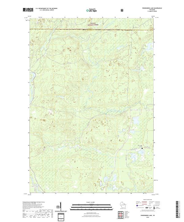
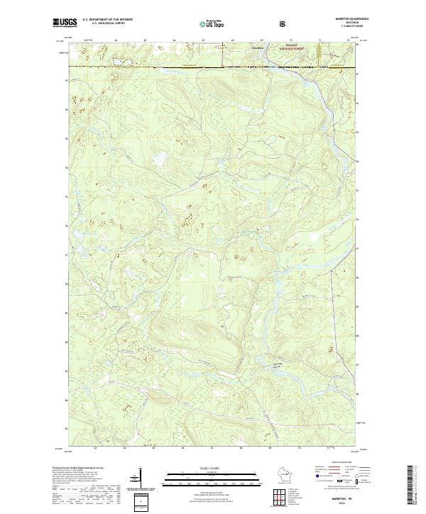
Historical Maps of Menominee Through Time
7 maps found