Old Maps of Ogema, Wisconsin for Genealogy
Trace your family roots with 45 historic maps of Ogema. These high-res maps reveal old neighborhoods, homesites, landmarks, and streets — helping you uncover where your ancestors lived and how the area evolved over time.
- Explore historic neighborhoods: Identify where your relatives may have lived in the 1800s or 1900s.
- Compare maps over time: Trace the changes in streets, buildings, and landmarks for multi-generational research.
- Perfect for genealogy & ancestry research: Used by family historians and researchers to map out lineage and migration.
These maps are an incredible resource for exploring your personal connection to Ogema's past.
Ogema, WI maps
(45)- 1941 Map of Phillips, 1967 Print
 1941 Phillips1967 Print · USGSNorthern Wisconsin's timber and rail landscape is meticulously detailed during the early 1940s. Genealogists can locate family-named landmarks like the Kerr Slashing Sch, the Hackett Cem, and the rural community of Prentice.
 - 1943 Map of Philliips
 1943 Philliips1943 Print · USGSPrice County at the height of the Second World War shows a landscape defined by Northwoods rail hubs and rural school districts. Genealogists can locate family landmarks like Hackett Cem, the Little Elk Ch, and small settlements such as Cramer and Pennington.2 unique versions available
 - 1944 Map of Ogema
 1944 Ogema1944 Print · USGSPrice County during the early 1940s was a landscape of remote farmsteads and timber interests centered on the rail corridor. Genealogists can trace family locations through a dense network of country schools like Forest Hill Sch and Larkin Sch, or the small siding at Mackeys Spur.
 - 1945 Map of Black River
 1945 Black River1945 Print · USGSNorthern Wisconsin's river systems and rural school districts are documented here just after the war years. Local historians can locate vanished landmarks like the Red Tile Sch, Meadow Creek Sch, and the early boundaries of the Chequamegon National Forest.
 - 1947 Map of Ogema, 1966 Print
 1947 Ogema1966 Print · USGSPrice and Taylor Counties are captured here just after the war, showing a rural landscape defined by logging, rail, and small lakeside settlements. Genealogists can trace family roots through numerous country schools like Centerville Sch and landmarks like Mt Olive Cem or Mackeys Spur.
 - 1949 Map of Ogema
 1949 Ogema1949 Print · USGSPrice and Taylor Counties are captured here in the late 1940s, showing the Northwoods before the modern era of highway expansion. Genealogists and local historians can trace many rural schoolhouses like Centerville School, church sites at Mt Olive Cemetery, and the Soo Line rail stops.
 - 1949 Map of Jump River Fire Tower
 1949 Jump River Fire Tower1949 Print · USGSThe dense forests and winding river forks of Price, Rusk, and Taylor counties are captured here in the years following World War II. Local historians can locate isolated rural landmarks like the Jump River Fire Tower, Red Tile Sch, and Lost Lake.
 - 1953 Map of Rice Lake, 1967 Print
 1953 Rice Lake1967 Print · USGSNorthwest Wisconsin during the mid-fifties reveals a landscape defined by timber, rail, and water. Genealogists and historians can trace the development of river towns like Ladysmith and Rice Lake along the Soo Line and Chicago and North Western railroads.2 unique versions available
 - 1959 Map of Rice Lake
 1959 Rice Lake1959 Print · USGSNorthwest Wisconsin in the late fifties was a land of expanding road networks and deep-seated timber history. Genealogists and historians can trace rail lines like the Soo Line RR and Chicago St Paul Minneapolis and Omaha Ry as they link settlements from Spooner to Medford.
 - 1968 Map of Phillips, 1970 Print
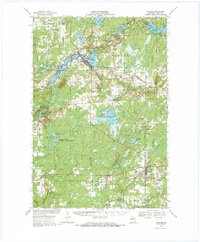 1968 Phillips1970 Print · USGSPrice County's lake-rich timberlands are documented here in the late sixties, centered on the city of Phillips. Researchers can trace family history through sites like Lakeside Cem, the Worcester Sch, and the SOO LINE railroad route.2 unique versions available
 - 1970 Map of Ogema, 1972 Print
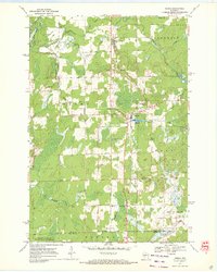 1970 Ogema1972 Print · USGSPrice and Taylor counties come into focus in the early 1970s, centered on the millpond and rail-side settlements of the Wisconsin Northwoods. Genealogists and local historians can trace family locations along Hallstrand Road, visit Hillside Cem, or locate the old Townhall and Mackeys Spur.
 - 1970 Map of Jump River Fire Tower NE, 1972 Print
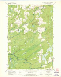 1970 Jump River Fire Tower NE1972 Print · USGSThe confluence of the Jump River forks in northern Wisconsin is captured here during the early seventies, spanning the Price and Taylor county line. Outdoorsmen and local historians can trace the bounds of the Township Corners State Wildlife Management Area and find named river landmarks like Big Falls and Steve Creek Flowage.
 - 1970 Map of Ogema NW, 1972 Print
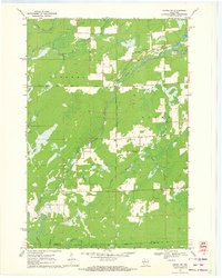 1970 Ogema NW1972 Print · USGSThe river forks and rural corridors of Price County are captured here in the early seventies as the landscape transitioned into the modern era. Genealogists and historians can trace the Fourth Principal Meridian and locate landmarks like Hallberg Hill and South Fork Jump River.2 unique versions available
 - 1980 Map of Park Falls
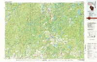 1980 Park Falls1980 Print · USGSNorthern Wisconsin's timber and rail corridor is meticulously detailed here in the early eighties. Researchers can trace the Soo Line through forest-bound towns like Park Falls, Phillips, and Lugerville while exploring the vast Chequamegon National Forest.
 - 1980 Map of Medford
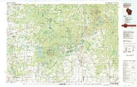 1980 Medford1980 Print · USGSNorth-central Wisconsin in the early eighties shows a landscape of dense timber and rail-linked settlements. Genealogists and historians can trace the Soo Line through towns like Medford and Westboro or locate family homesteads near Perkinstown and Athens.
 - 1984 Map of Prentice
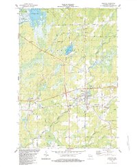 1984 Prentice1984 Print · USGSPrentice and the surrounding Northwoods appear in the mid-1980s as the railroad and cranberry agriculture continue to shape the landscape. Researchers can trace family history at the Hackett Cem and locate old rural corridors like the Old Soo Line and Mail Route Road.
 - 1984 Map of Pennington
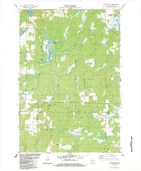 1984 Pennington1984 Print · USGSPrice County in the mid-1980s reveals a landscape of managed timberlands and river corridors centered on the Soo Line railroad. Researchers can trace the layout of Pennington and explore the waterways of the Jump River and Spring Creek Flowage.
 - 2005 Map of Jump River Fire Tower NE, 2006 Print
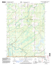 2005 Jump River Fire Tower NE2006 Print · USGSUpper Price County and Taylor County meet along the Jump River at the dawn of the millennium, showcasing a landscape of managed forests and waterways. Researchers can trace the river's path through Big Falls, find the Steve Greek Flowage, and locate several Gravel Pits along rural routes.
 - 2005 Map of Ogema NW, 2006 Print
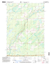 2005 Ogema NW2006 Print · USGSNorthern Wisconsin's timberlands and river forks are captured here at the dawn of the millennium. Trace the path of the North Fork Jump River through Ogema and find landmarks like Hallberg Hill and Silver Creek.
 - 2005 Map of Ogema, 2006 Print
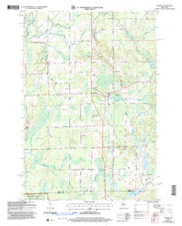 2005 Ogema2006 Print · USGSThe settlement of Ogema and the surrounding Price County woods are captured here at the start of the twenty-first century. Genealogists and hikers can trace family-named routes like Hallstrand Road or find the Hillside Cem and Levitt Creek Cem.
 - 2010 Map of Pennington, 2010 Print
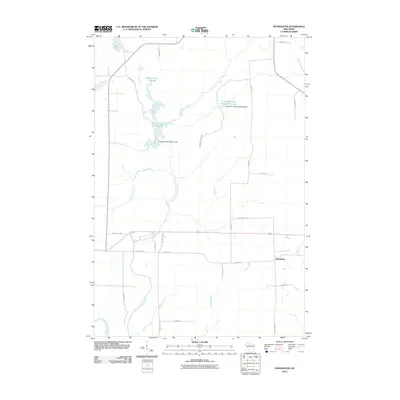 2010 Pennington2010 Print · USGSPrice County’s Northwoods landscape is captured here in the early twenty-first century, showing a region defined by river systems and timber lands. Researchers can locate the settlement of Pennington and trace water control structures like the Spring Creek 3WR213 Dam and Cranberry Creek Wildlife/Flowage.
 - 2010 Map of Prentice, 2010 Print
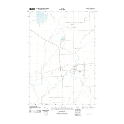 2010 Prentice2010 Print · USGSPrice County timberlands and river valleys define this northern Wisconsin area in the early twenty-first century. Researchers can trace local heritage at Hackett Cemetery, locate the Prentice 2WP234 Dam, and follow the path of the Pine Line Trl.
 - 2011 Map of Jump River Fire Tower NE, 2011 Print
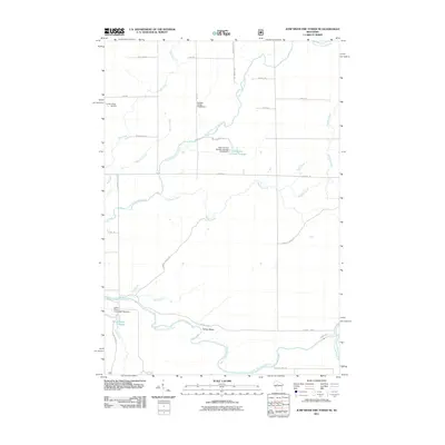 2011 Jump River Fire Tower NE2011 Print · USGSPrice County's river network and wildlife management are documented in detail at the turn of the twenty-first century. Researchers can trace local water infrastructure and landmarks like Lonely Pines Airport, the Yellow Banks, and the Town Corners Flowage.
 - 2011 Map of Ogema, 2011 Print
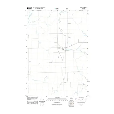 2011 Ogema2011 Print · USGSThe community of Ogema and its surrounding Northwoods timberlands are shown here in the early 21st century. Researchers can locate family landmarks like Hillside Cemetery, trace the Pine Line Trl, or identify sites near the Ogema Millpond.
 - 2011 Map of Ogema NW, 2011 Print
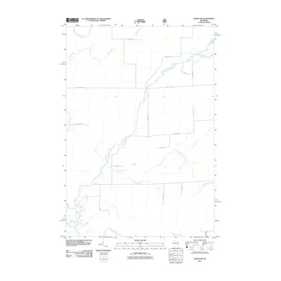 2011 Ogema NW2011 Print · USGSPrice County timberlands and river systems are documented in this early twenty-first-century survey. Trace the winding paths of the South Fork Jump River and Little Mondeaux Creek or locate family landmarks along Shimon Rd and Cudd Rd.
Showing maps 1-25 of 45
Top cities near Ogema
- Worcester historical maps
- Phillips historical maps
- Rib Lake historical maps
- Chelsea historical maps
- Westboro historical maps
- Prentice historical maps
See more
Frequently asked questions
- What are the different types of historical maps available for Ogema?
- What is the oldest map of Ogema?
- Where can I purchase historical maps of Ogema for my home or office?
- Where can I download high-res historical maps of Ogema?
- Are there historical topographic maps available for Ogema?
- Is there historical aerial imagery available for Ogema?
- Where are historical maps of Ogema sourced from?