Old Maps of Richwood, Wisconsin
Explore 33 old maps of Richwood, spanning from 1933 to today. These high-resolution historic maps reveal how streets, neighborhoods, landmarks, and natural features evolved over time — perfect for genealogy, metal detecting, research, and local history exploration.
What you can do with these maps:
- See how Richwood changed over time: Compare historical maps to modern-day views to trace roads, homesites, rail lines & more.
- View detailed metadata: Each map includes creators, publishers, year, scale, and archive source.
- Overlay maps with satellite & LiDAR: Visualize the past alongside modern tools to explore terrain & human change.
- Trusted historical sources: Maps sourced from the USGS, Library of Congress, and other archives.
- Access maps your way: View online, download high-res files, or order prints for personal or research use.
Start exploring old maps of Richwood to uncover forgotten places, hidden landmarks, and the deep history beneath your feet.
Richwood, WI maps
(33)- 1933 Map of Boaz
 1933 Boaz1933 Print · USGSRichland and Vernon counties are shown in the early thirties as a landscape of steep ridges and school-rich valleys. Genealogists can trace family roots through dozens of rural schools and churches, from Rolling Ground and Jimtown to the Dieter Hollow Church.2 unique versions available
 - 1933 Map of Boscobel
 1933 Boscobel1933 Print · USGSThe Driftless Area of Southwest Wisconsin is captured here in the early 1930s, showing the intricate ridge-and-valley landscape of Grant and Richland counties. Researchers can locate dozens of country schools and churches, including Rock Elm School, Steele Cem, and the riverfront village of Port Andrew.2 unique versions available
 - 1958 Map of La Crosse, 1979 Print
 1958 La Crosse1979 Print · USGSThe Driftless Area of Wisconsin and Iowa is captured here during the late seventies, showing the intricate river valleys and ridge-top settlements. Genealogists and historians can trace the rail corridors of the Soo Line or locate landmarks like Grandad Bluff and Effigy Mounds National Monument.2 unique versions available
 - 1961 Map of La Crosse
 1961 La Crosse1961 Print · USGSThe Driftless Area at the start of the 1960s reveals a complex network of river towns and rail lines along the Mississippi River. Genealogists and historians can trace old settlements like New Amsterdam and Wyattville or locate major landmarks like Camp McCoy Military Reservation and Effigy Mounds National Monument.
 - 1965 Map of La Crosse
 1965 La Crosse1965 Print · USGSThe Driftless Area and the Upper Mississippi valley are captured here during a period of steady mid-century growth. Researchers can trace the rail lines of the Chicago and North Western or locate riverfront sites like Effigy Mounds National Monument and the Camp McCoy Military Reservation.
 - 1966 Map of Boaz, 1968 Print
 1966 Boaz1968 Print · USGSRichland County's ridge-and-valley landscape is captured here in the mid-1960s, showing a network of rural settlements and family-named hollows. Researchers can trace local history through sites like Kickapoo Center Ch, Rolling Ground, and the Tavera Sch.
 - 1967 Map of Boscobel, 1970 Print
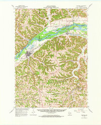 1967 Boscobel1970 Print · USGSWisconsin's Driftless Area in the late sixties shows a landscape of deep hollows and river islands along the Wisconsin River. Genealogists and local historians can trace family locations near rural landmarks like St Patrick Cem, the Wayside Chapel, and the riverside settlement of Blue River.
 - 1976 Map of La Crosse
 1976 La Crosse1976 Print · USGSThe Driftless Area and Mississippi River valley are captured here in the mid-seventies, showing a landscape of deep coulees and river commerce. Genealogists can trace family footprints from La Crosse to smaller hamlets like Newburg Corners and Witoka.
 - 1983 Map of Mt. Zion
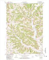 1983 Mt. Zion1983 Print · USGSThe rolling hills of Crawford and Richland counties are captured here in the early eighties. Genealogists and local historians can locate St Philips Ch, Tavera Cem, and the old Excelsior Sch among the namesake ridges.
 - 1983 Map of Boaz
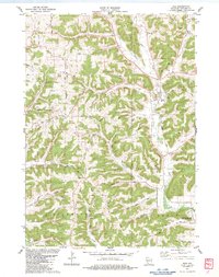 1983 Boaz1983 Print · USGSRichland County's ridge-and-valley country is intricately mapped here in the early eighties, showing the rural landscape around the town of Boaz. Genealogists can locate family landmarks such as Conkle Cem, Fox Hollow Ch, and the settlement of Five Points.
 - 1983 Map of Blue River
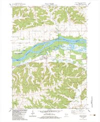 1983 Blue River1983 Print · USGSThe Wisconsin River valley and the settlements of Blue River and Port Andrew are captured here in the early 1980s. Genealogists can trace family plots at Greenwood Cem or Beulah Cem, while the Wisconsin Western rail line marks the valley floor.
 - 1983 Map of Boscobel
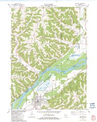 1983 Boscobel1983 Print · USGSBoscobel and the surrounding river bottoms are captured here in the early 1980s as a vital corridor of rail transport and conservation. Researchers can trace old family landmarks and rural life through Plugtown, the St Patrick Cem, and the Maple Ridge Bible Ch.
 - 1985 Map of Richland Center, 1991 Print
 1985 Richland Center1991 Print · USGSSouthwest Wisconsin’s driftless landscape in the mid-1980s is defined by its deep river valleys and tight agricultural settlements. Researchers can trace family-named landmarks like Mickelson Ridge or find remote churches and schools near Richland Center and Dodgeville.
 - 2010 Map of Mount Zion, 2010 Print
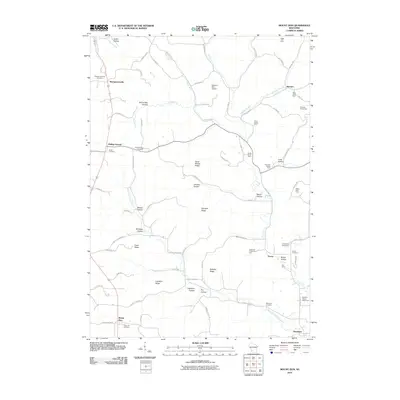 2010 Mount Zion2010 Print · USGSCrawford County's ridge-and-hollow landscape is captured here in the early twenty-first century, showing the enduring layout of rural Wisconsin hamlets. Researchers can locate family homesteads and burial sites like Union Hill Cemetery, Rolling Ground, and the Tavera Cemetery along the West Fork Knapp Creek.
 - 2010 Map of Blue River, 2010 Print
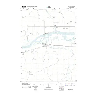 2010 Blue River2010 Print · USGSWisconsin's Driftless Area is mapped here in the early twenty-first century, showing the river valley landscape at Blue River and Port Andrew. Genealogists and local historians can locate several family burial sites like Haskins Cemetery or trace the extent of the Tisdale Homestead.
 - 2010 Map of Boscobel, 2010 Print
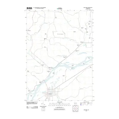 2010 Boscobel2010 Print · USGSThe Wisconsin River valley and its surrounding ridges come alive in this modern survey of Grant County. Researchers can trace land tracts near Boscobel or locate family burial sites at Saint Patrick Cemetery, Haskins Cemetery, and Steele Cemetery.
 - 2010 Map of Boaz, 2010 Print
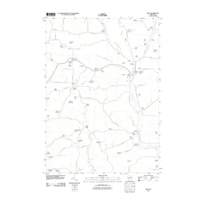 2010 Boaz2010 Print · USGSRichland County at the turn of the decade reveals a landscape of high ridges and productive family dairies. Genealogists and local historians can trace legacy landholdings and rural burial sites like the Boaz Cemetery, Methodist Cemetery, and the settlement at Five Points.
 - 2013 Map of Boscobel, 2013 Print
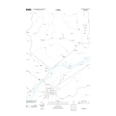 2013 Boscobel2013 Print · USGSWisconsin's river-bottom lands and bluff-top farms come alive in this early twenty-first-century survey of the Grant County area. Researchers can trace family history through specific named properties like Carlin Dairy or explore landmarks along the Wisconsin River such as Rattlesnake Point.
 - 2013 Map of Mount Zion, 2013 Print
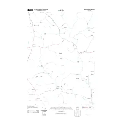 2013 Mount Zion2013 Print · USGSCrawford County's ridge-and-valley landscape is documented here in the early twenty-first century, showing a region of enduring family farms and rural crossroads. Researchers can locate named agricultural sites like Brady Stock Farm and small communities such as Mount Zion, Rolling Ground, and Montgomeryville.
 - 2013 Map of Boaz, 2013 Print
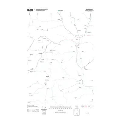 2013 Boaz2013 Print · USGSRichland County's agricultural heritage is on full display in the early twenty-first century as the village of Boaz anchors a landscape of generational homesteads. Researchers can trace historic property boundaries and family-named sites like Festina Farm, the Round Barn Stock Farm, and Larsons Homestead.
 - 2013 Map of Blue River, 2013 Print
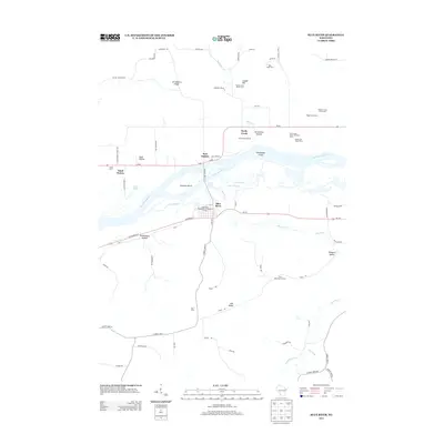 2013 Blue River2013 Print · USGSThe Wisconsin River valley in Grant County is shown here in the early twenty-first century, defined by its floodplains and dairy heritage. Researchers can trace family sites like the Tisdale Homestead and the Pine Grove Stock and Dairy Farm or locate Steamboat Island in the river.
 - 2016 Map of Boaz, 2016 Print
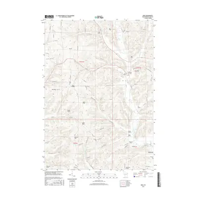 2016 Boaz2016 Print · USGSRichland County, Wisconsin, shows its classic ridge-and-hollow landscape in the mid-2010s. Local researchers can pinpoint numerous family burial sites like Boaz Cem and Five Points Cem or trace the drainage of Byrds Cr through the southern hills.
 - 2016 Map of Mount Zion, 2016 Print
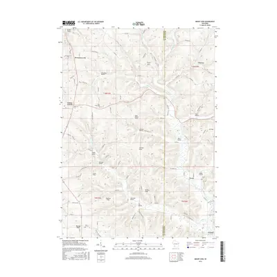 2016 Mount Zion2016 Print · USGSThe borderlands of Crawford and Richland counties are shown here in the mid-2010s, defined by a landscape of steep ridges and secluded hollows. Genealogists and researchers can locate ancestral sites at Union Hill Cemetery, Mook Cemetery, and the old settlement of Rolling Ground.
 - 2016 Map of Blue River, 2016 Print
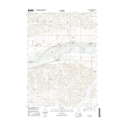 2016 Blue River2016 Print · USGSThe Wisconsin River valley comes into focus here during the mid-2010s, showing the intricate wetlands between Blue River and Port Andrew. Local historians can trace the positions of several rural burial grounds, such as Sand Prairie Cem and Greenwood Cem, alongside river features like Steamboat Island.
 - 2016 Map of Boscobel, 2016 Print
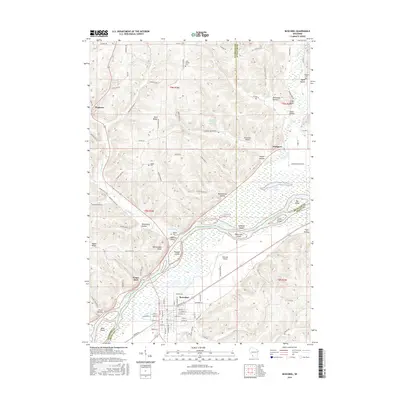 2016 Boscobel2016 Print · USGSThe riverfront city of Boscobel and the surrounding Driftless Area are captured in this mid-2010s survey. Researchers can trace family history through sites like Saint Patrick Cem or explore the geography of Wisconsin River landmarks including Trumbull Island and Rattlesnake Point.
Showing maps 1-25 of 33
Top cities near Richwood
- Richland Center historical maps
- Boscobel historical maps
- Muscoda historical maps
- Highland historical maps
- Rockbridge historical maps
- Orion historical maps
See more
Top neighborhoods of Richwood
- Byrds Creek historical maps
- Port Andrew historical maps
- Tavera historical maps
- Sand Prairie historical maps
- Wild Rose historical maps
- Excelsior historical maps
See more
Frequently asked questions
- What are the different types of historical maps available for Richwood?
- What is the oldest map of Richwood?
- Where can I purchase historical maps of Richwood for my home or office?
- Where can I download high-res historical maps of Richwood?
- Are there historical topographic maps available for Richwood?
- Is there historical aerial imagery available for Richwood?
- Where are historical maps of Richwood sourced from?