2020s Maps of Richwood, Wisconsin
Explore 4 historic maps of Richwood from the 2020s. These maps offer a rare glimpse into what life looked like during the 2020s — showing old roads, neighborhoods, homes, and landmarks that have changed or disappeared over time.
Whether you're researching your family's past, planning a metal detecting trip, or studying how Richwood's landscape evolved across the 2020s, these high-resolution maps are a powerful tool for exploring the history of this region.
- Focus on a specific era: All maps on this page are from the 2020s, giving you a focused view of this time period.
- See what’s changed: Compare century-old streets, trails, and buildings to today's modern landscape using overlays and satellite layers.
- Research with precision: Use these maps for genealogy, historical research, land use analysis, or educational projects.
- View, download, or print: Maps are fully viewable online in high resolution, and can be downloaded or printed for your own records.
Start exploring Richwood's history through authentic maps from the 2020s. This is your window into the past.
Richwood, WI maps
(4)- 2022 Map of Blue River, 2022 Print
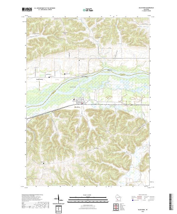 2022 Blue River2022 Print · USGSThe Driftless Area river bottom and high ridges come alive in this modern survey of the lower Wisconsin. Family historians can trace ancestral roots through several local cemeteries including Blue River Cem, Coumbe Cem, and Beulah Cem.
 - 2022 Map of Mount Zion, 2022 Print
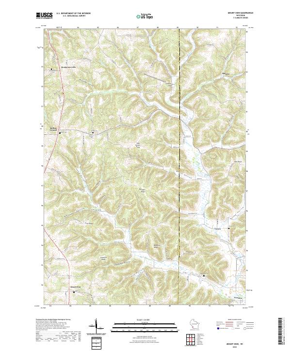 2022 Mount Zion2022 Print · USGSThe ridge-and-valley country of Crawford and Richland counties is documented in this recent survey, showcasing the high-ground settlements of the Driftless Area. Researchers can trace family history through sites like Saint Phillips Cem, Montgomeryville, and Mook Cem.
 - 2022 Map of Boaz, 2022 Print
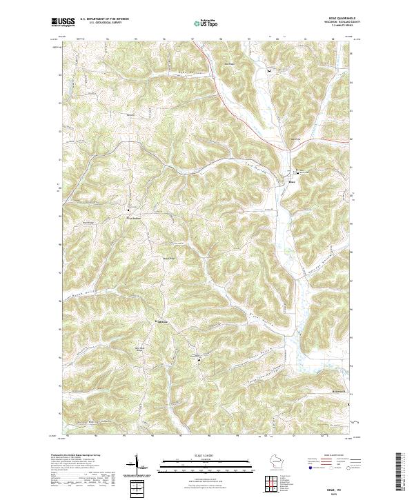 2022 Boaz2022 Print · USGSRichland County's high ridges and deep hollows are documented here in the early 2020s. Genealogists and local historians can trace family locations near the Richwood Methodist Cem, Five Points, and the small settlement of Boaz.
 - 2022 Map of Boscobel, 2022 Print
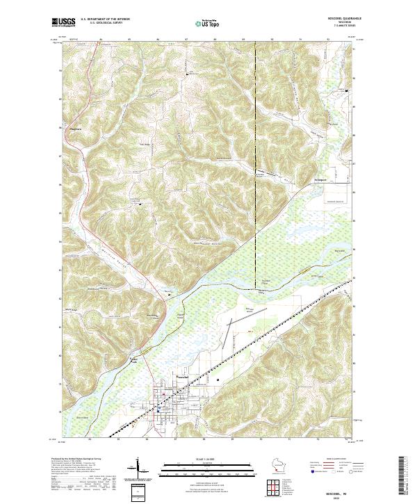 2022 Boscobel2022 Print · USGSThe Wisconsin River valley comes alive in this contemporary survey, showing the crossroads of Crawford, Richland, and Grant Counties. Researchers can trace rural cemetery sites like Wayne Cem and Haskins Cem or locate old community markers at Plugtown and Cedar Point.
End of results
Showing maps 1-4 of 4
Top cities near Richwood
- Richland Center historical maps
- Boscobel historical maps
- Muscoda historical maps
- Highland historical maps
- Rockbridge historical maps
- Orion historical maps
See more
Top neighborhoods of Richwood
- Byrds Creek historical maps
- Port Andrew historical maps
- Tavera historical maps
- Sand Prairie historical maps
- Wild Rose historical maps
- Excelsior historical maps
See more
Frequently asked questions
- What are the different types of historical maps available for Richwood?
- What is the oldest map of Richwood?
- Where can I purchase historical maps of Richwood for my home or office?
- Where can I download high-res historical maps of Richwood?
- Are there historical topographic maps available for Richwood?
- Is there historical aerial imagery available for Richwood?
- Where are historical maps of Richwood sourced from?