Old Maps of Baldwin, Wisconsin for Academic Research
Study the evolution of Baldwin with 17 high-resolution historic maps. Whether you're teaching, researching, or modeling changes in land use, these maps provide essential visual documentation of urban, environmental, and geographic change.
- Analyze long-term change: Track patterns in development, transportation, and natural features.
- Ideal for environmental or urban studies: Support academic projects with primary historical map data.
- Use in the classroom or lab: Educators and researchers rely on these maps to bring historical context to life.
These maps are a powerful tool for teaching, research, and visualizing how Baldwin has changed over the decades.
Baldwin, WI maps
(17)- 1949 Map of Baldwin
 1949 Baldwin1949 Print · USGSThe dairy lands of St. Croix and Pierce counties thrive in the late 1940s as the rail line connects the bustling hubs of Baldwin and Woodville. Genealogists and historians can locate dozens of neighborhood landmarks, from the Emmanuel Lutheran Ch to rural schools like Birchdale Sch and Loyalty Sch.2 unique versions available
 - 1953 Map of Saint Paul, 1964 Print
 1953 Saint Paul1964 Print · USGSThe Twin Cities and the Mississippi River valley are captured here at a mid-century turning point. Trace the early growth of Minneapolis and Saint Paul alongside landmarks like Lake Minnetonka and the St Croix River.4 unique versions available
 - 1959 Map of Saint Paul
 1959 Saint Paul1959 Print · USGSThe Twin Cities and southeastern Minnesota appear here in the late fifties, showing the peak of the rail era and post-war suburban growth. Genealogists can trace family footprints near Lake Minnetonka, the Univ Of Minn Rosemount Research Center, or the growing neighborhoods of Richfield.2 unique versions available
 - 1974 Map of Baldwin East, 1977 Print
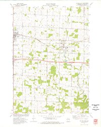 1974 Baldwin East1977 Print · USGSSt. Croix County during the mid-seventies reveals a landscape of growing villages and a steady rail-and-river economy. Researchers can trace the Chicago and North Western line or locate family plots at Lone Pine Cem and Brookville Cem.
 - 1974 Map of Baldwin West, 1977 Print
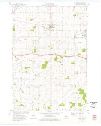 1974 Baldwin West1977 Print · USGSMid-century St. Croix County comes into focus as the Chicago and North Western railroad links the growing hubs of Hammond and Baldwin. Genealogists and local researchers can trace rural landmarks from the Catholic Cem to the Baldwin Christian Sch and the Peace Ch.
 - 1985 Map of Hastings
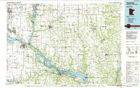 1985 Hastings1985 Print · USGSThe river valleys of the St. Croix and Mississippi dominate this mid-eighties landscape as they border Minnesota and Wisconsin. You can trace the boundaries of the Prairie Island Indian Res, find the old rail alignments of the SOO LINE, and locate remote bluffs like Rattlesnake Point.
 - 1990 Map of Hastings, 1991 Print
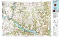 1990 Hastings1991 Print · USGSThe river confluence at Hastings and Prescott is captured here in the final decade of the twentieth century, showing a landscape defined by the Mississippi River and St Croix River. Genealogists and historians can trace rail corridors like the Soo RR and find smaller settlements such as Miesville, Wacouta, and Diamond Bluff.
 - 2010 Map of Baldwin West, 2010 Print
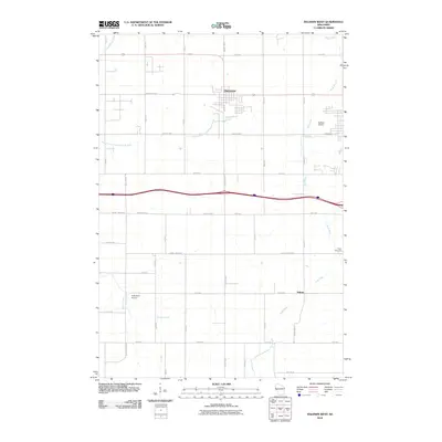 2010 Baldwin West2010 Print · USGSSaint Croix County at the start of the 2010s shows a landscape of river headwaters and small-town expansion near Hammond. Genealogists and local historians can locate Peace Cemetery or trace the small settlement at Palmer along the Rush River.
 - 2010 Map of Baldwin East, 2010 Print
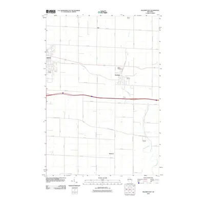 2010 Baldwin East2010 Print · USGSSaint Croix County at the start of the decade shows the developed connection between Baldwin and Woodville. Researchers can trace local lineage at Lone Pine Cemetery or Brookville Cemetery and follow the paths of Carr Creek and the Eau Galle River.
 - 2013 Map of Baldwin West, 2013 Print
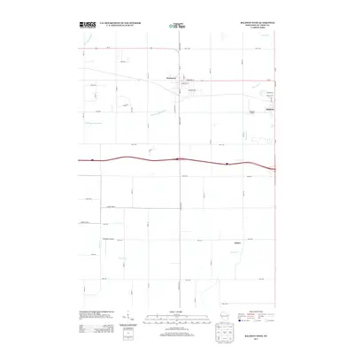 2013 Baldwin West2013 Print · USGSSaint Croix County thrives in the early twenty-first century as a hub of transport and agriculture. Trace the development of Hammond and Baldwin along the US-12 corridor, or locate regional landmarks like Baldwin Airport and the village of Palmer.
 - 2013 Map of Baldwin East, 2013 Print
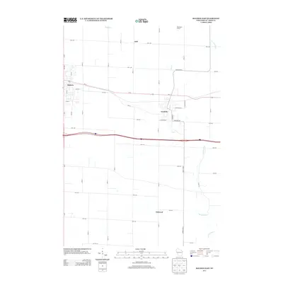 2013 Baldwin East2013 Print · USGSSaint Croix County at the start of the 2010s reveals a blend of traditional village centers and modern transit corridors. Genealogists and local historians can trace the development of Woodville and Wildwood or locate family properties along Eau Galle River and Carr Cr.
 - 2015 Map of Baldwin East, 2015 Print
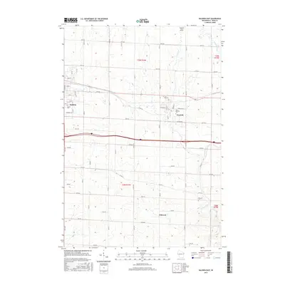 2015 Baldwin East2015 Print · USGSSaint Croix County thrives as a modern agricultural and residential corridor in this 2010s survey. Genealogists and local researchers can pinpoint family locations near Wildwood, Baldwin Cem, or the Eau Galle River while tracing the growth of Woodville.
 - 2015 Map of Baldwin West, 2015 Print
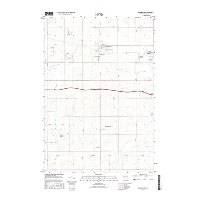 2015 Baldwin West2015 Print · USGSSaint Croix County at the mid-point of the 2010s shows a landscape of steady village growth and deep-rooted agricultural patterns. Researchers can trace the layout of Hammond, locate Peace Cem, and follow the winding course of the Rush River.
 - 2018 Map of Baldwin East, 2018 Print
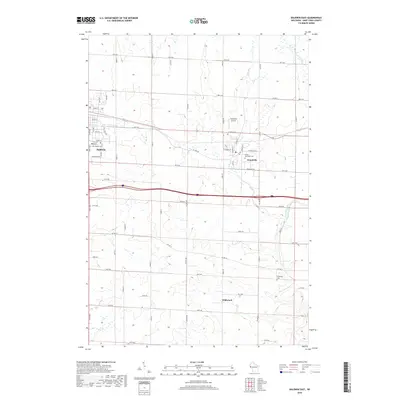 2018 Baldwin East2018 Print · USGSSaint Croix County at the turn of the decade shows a landscape of established villages and quiet farmsteads. Researchers can trace family origins at Baldwin Cem or Brookville Cem and follow the route of the Eau Galle River through Wildwood.
 - 2018 Map of Baldwin West, 2018 Print
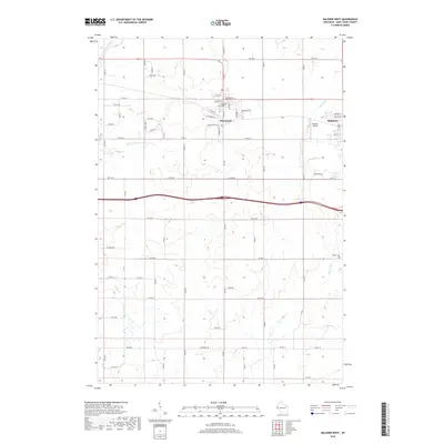 2018 Baldwin West2018 Print · USGSSaint Croix County thrives between the Twin Cities and Eau Claire in this 2018 study of West-Central Wisconsin. Researchers can trace local landmarks from the Baldwin Airport to the Peace Cemetery, alongside the headwaters of the Rush River.
 - 2022 Map of Baldwin West, 2022 Print
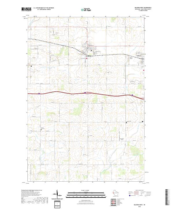 2022 Baldwin West2022 Print · USGSSaint Croix County in the early 2020s shows a landscape of established villages and persistent rural cemeteries. Genealogists can locate several historic burial sites like Saint Marys Cem and Hawkins Cem while tracing the waters of the Rush River.
 - 2022 Map of Baldwin East, 2022 Print
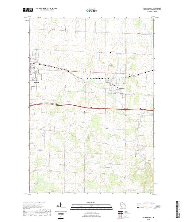 2022 Baldwin East2022 Print · USGSSt. Croix County in the early twenty-first century reveals a landscape where rural roots meet modern growth. Genealogists can locate family sites near Brookville Cem and Immanuel Lutheran Cem, or trace the paths of Eau Galle River and Carr Cr.
End of results
Showing maps 1-17 of 17
Top cities near Baldwin
- River Falls historical maps
- New Richmond historical maps
- Ellsworth historical maps
- Town of Star Prairie historical maps
- Town of River Falls historical maps
- River Falls historical maps
See more
Frequently asked questions
- What are the different types of historical maps available for Baldwin?
- What is the oldest map of Baldwin?
- Where can I purchase historical maps of Baldwin for my home or office?
- Where can I download high-res historical maps of Baldwin?
- Are there historical topographic maps available for Baldwin?
- Is there historical aerial imagery available for Baldwin?
- Where are historical maps of Baldwin sourced from?