Old Maps of New Richmond, Wisconsin for Academic Research
Study the evolution of New Richmond with 33 high-resolution historic maps. Whether you're teaching, researching, or modeling changes in land use, these maps provide essential visual documentation of urban, environmental, and geographic change.
- Analyze long-term change: Track patterns in development, transportation, and natural features.
- Ideal for environmental or urban studies: Support academic projects with primary historical map data.
- Use in the classroom or lab: Educators and researchers rely on these maps to bring historical context to life.
These maps are a powerful tool for teaching, research, and visualizing how New Richmond has changed over the decades.
New Richmond, WI maps
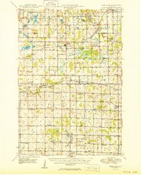
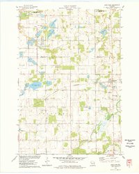
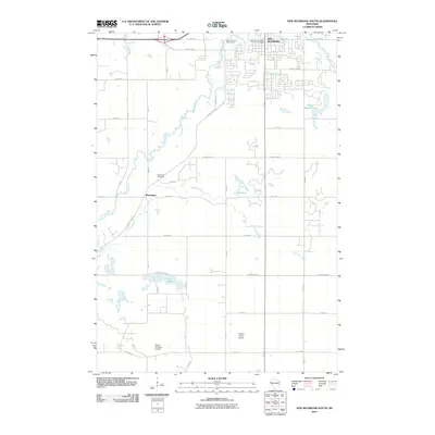
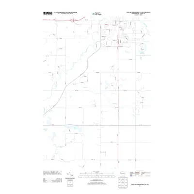
(33)- 1948 Map of New Richmond, 1957 Print
 1948 New Richmond1957 Print · USGSSt. Croix County at the close of the 1940s shows a landscape of river-powered hamlets and rural school districts. Genealogists can trace family footprints through sites like Schroeder Cem, Emanuel Ch, and numerous schoolhouses from Lonesome Trail Sch to Elm Park Sch.3 unique versions available
 - 1949 Map of New Richmond
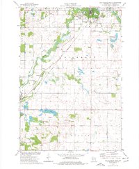
 1949 New Richmond1949 Print · USGSSt. Croix County at the end of the 1940s reveals a landscape of thriving rural townships and river-driven commerce. Genealogists and historians can trace defunct rail stops like Burkhardt Sta and dozens of country schools, including Lonesome Trail Sch and Oak Hill Sch.
 - 1950 Map of Deer Park
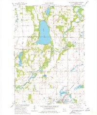
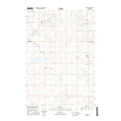
 1950 Deer Park1950 Print · USGSNorthwestern Wisconsin at the end of the 1940s reveals a patchwork of small townships and dairy country connected by vital rail lines. Genealogists can trace family roots through numerous country schools like Jewett Mills Sch and historic parishes such as St Bridget Ch.2 unique versions available
 - 1953 Map of Stillwater, 1980 Print
 1953 Stillwater1980 Print · USGSThe Twin Cities and the St. Croix Valley are captured in this mid-century survey as the interstate era began to transform the Upper Midwest. Genealogists and historians can trace the rail-and-river geography of Stillwater, locate landmarks in Anoka, or explore the sprawling St Croix State Park.
 - 1955 Map of Stillwater, 1965 Print
 1955 Stillwater1965 Print · USGSThe Upper St. Croix Valley and the growing Twin Cities area are shown here during the mid-fifties, before the interstate era transformed the regional commute. You can trace the lines of the Northern Pacific RR through towns like Rush City or locate the Saint Croix Indian Reservation.
 - 1958 Map of Stillwater
 1958 Stillwater1958 Print · USGSThe Upper Mississippi and St. Croix River valleys appear in the mid-fifties as the Twin Cities expanded north. Genealogists can locate family landmarks like Oak Park Cem, Saint Michael Church, and the Soo Line RR rail corridors.2 unique versions available
 - 1965 Map of Stillwater
 1965 Stillwater1965 Print · USGSThe Twin Cities and the St. Croix Valley are mapped here during a period of significant post-war growth and industrial transit. Genealogists and historians can trace rail lines like the Northern Pacific RR through towns such as Rush City, Amery, and Balsam Lake.
 - 1974 Map of New Richmond South, 1977 Print
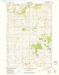
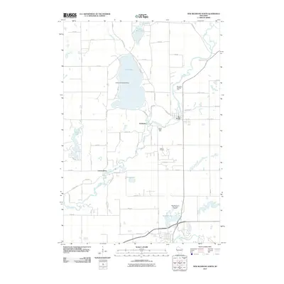
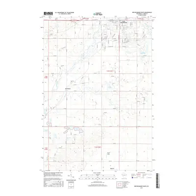
 1974 New Richmond South1977 Print · USGSSt. Croix County during the mid-seventies shows a landscape of farmsteads and growing townships connected by the Chicago and North Western rail. Genealogists and local historians can locate the Boardman Cemetery, trace Tenmile Creek, and see the early layout of New Richmond.
 - 1974 Map of New Richmond North, 1977 Print
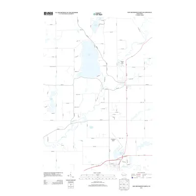
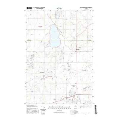
 1974 New Richmond North1977 Print · USGSNorthwestern Wisconsin in the mid-seventies reveals a network of river-bound settlements and rail lines connecting the rural townships of St. Croix County. Local historians and genealogists can trace the locations of Oakland Cem, the Cedar Lake Sch, and small hamlets like Huntington and Johannesburg.
 - 1975 Map of Stillwater
 1975 Stillwater1975 Print · USGSThe Twin Cities and the St. Croix Valley are captured in the mid-seventies, showing the urban growth of Minneapolis and St Paul. Researchers can trace old rail corridors of the Northern Pacific RR and locate tribal lands at the Mille Lacs Indian Reservation.2 unique versions available
 - 1975 Map of Jewett, 1978 Print
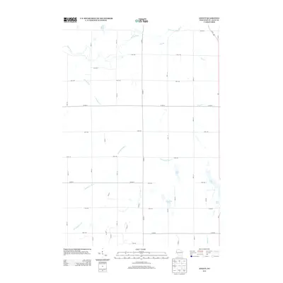
 1975 Jewett1978 Print · USGSSt. Croix County farmsteads and wetlands are documented in the mid-seventies just as the landscape maintained its traditional rural character. Researchers can trace family-named landmarks near Erin Corner, locate St Patricks Ch, and follow the SOO LINE through Jewett.
 - 1975 Map of Deer Park, 1978 Print
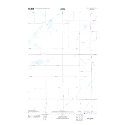
 1975 Deer Park1978 Print · USGSDeer Park and Stanton are captured in the mid-1970s, showcasing a landscape where railroad commerce meets the wetlands of northern St. Croix County. Researchers can trace the heritage of local parishes and families at East Emanuel Ch, Calvary Cem, and Wagon Landing Cem.
 - 1985 Map of Stillwater
 1985 Stillwater1985 Print · USGSThe St. Croix River valley in the mid-1980s reveals a borderland of river towns and conservation areas. Trace the rail lines of the Soo Line, locate the Minnesota State Prison, and explore the numerous wildlife areas like Cylon Marsh.2 unique versions available
 - 2010 Map of Deer Park, 2010 Print
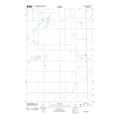 2010 Deer Park2010 Print · USGSCovers New Richmond, including Town of Alden, Cylon, and other nearby areas
 - 2010 Map of Jewett, 2010 Print
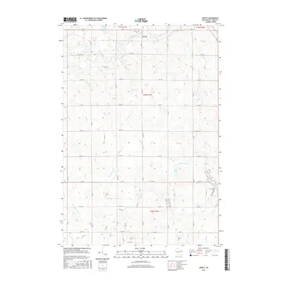
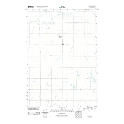 2010 Jewett2010 Print · USGSCovers New Richmond, including Richmond, Warren, and other nearby areas
 - 2010 Map of New Richmond North, 2010 Print
 2010 New Richmond North2010 Print · USGSCovers New Richmond, including Town of Star Prairie, Star Prairie, and other nearby areas
 - 2010 Map of New Richmond South, 2010 Print
 2010 New Richmond South2010 Print · USGSCovers New Richmond, including Richmond, Town of Richmond, and other nearby areas
 - 2013 Map of Jewett, 2013 Print
 2013 Jewett2013 Print · USGSCovers New Richmond, including Richmond, Warren, and other nearby areas
 - 2013 Map of Deer Park, 2013 Print
 2013 Deer Park2013 Print · USGSCovers New Richmond, including Town of Alden, Cylon, and other nearby areas
 - 2013 Map of New Richmond North, 2013 Print
 2013 New Richmond North2013 Print · USGSCovers New Richmond, including Town of Star Prairie, Star Prairie, and other nearby areas
 - 2013 Map of New Richmond South, 2013 Print
 2013 New Richmond South2013 Print · USGSCovers New Richmond, including Richmond, Town of Richmond, and other nearby areas
 - 2015 Map of Deer Park, 2015 Print
 2015 Deer Park2015 Print · USGSCovers New Richmond, including Town of Alden, Cylon, and other nearby areas
 - 2015 Map of New Richmond North, 2015 Print
 2015 New Richmond North2015 Print · USGSCovers New Richmond, including Town of Star Prairie, Star Prairie, and other nearby areas
 - 2015 Map of New Richmond South, 2015 Print
 2015 New Richmond South2015 Print · USGSCovers New Richmond, including Richmond, Town of Richmond, and other nearby areas
 - 2015 Map of Jewett, 2015 Print
 2015 Jewett2015 Print · USGSCovers New Richmond, including Richmond, Warren, and other nearby areas
Showing maps 1-25 of 33
Top cities near New Richmond
- River Falls historical maps
- Hudson historical maps
- Baldwin historical maps
- North Hudson historical maps
- Somerset historical maps
- Town of Star Prairie historical maps
See more
Top neighborhoods of New Richmond
Frequently asked questions
- What are the different types of historical maps available for New Richmond?
- What is the oldest map of New Richmond?
- Where can I purchase historical maps of New Richmond for my home or office?
- Where can I download high-res historical maps of New Richmond?
- Are there historical topographic maps available for New Richmond?
- Is there historical aerial imagery available for New Richmond?
- Where are historical maps of New Richmond sourced from?