Old Maps of Oxbo, Draper for Hiking & Exploration
Hike through history with 11 historic maps of Oxbo. Explore old trails, ghost towns, and forgotten backroads — perfect for outdoor adventurers and local explorers.
- Rediscover forgotten places: Map out old mining camps, roads, and footpaths that no longer exist on modern maps.
- Layer with modern tools: Combine with LiDAR or satellite views to plan hikes through historical terrain.
- Made for exploration: Popular among hikers, overlanders, and local history lovers.
Use these maps to find adventure and explore the hidden past of Oxbo.
Oxbo, Draper maps
(11)- 1941 Map of Kennedy, 1959 Print
 1941 Kennedy1959 Print · USGSIn the early 1940s, this portion of Price and Sawyer counties was a landscape of timber management and rail-side settlements. Genealogists can locate rural schoolhouses like Poplar Hill Sch and trace industrial sites such as Pixley Dam or the Old Mill Dam.2 unique versions available
 - 1945 Map of Kennedy
 1945 Kennedy1945 Print · USGSThe Wisconsin Northwoods come alive in the 1940s, showing a landscape of timber, rail, and remote settlements. Genealogists and local historians can trace rural schoolhouses like Arnold Sch and family landmarks near Lugerville and Kaiser.2 unique versions available
 - 1953 Map of Rice Lake, 1967 Print
 1953 Rice Lake1967 Print · USGSNorthwest Wisconsin during the mid-fifties reveals a landscape defined by timber, rail, and water. Genealogists and historians can trace the development of river towns like Ladysmith and Rice Lake along the Soo Line and Chicago and North Western railroads.2 unique versions available
 - 1959 Map of Rice Lake
 1959 Rice Lake1959 Print · USGSNorthwest Wisconsin in the late fifties was a land of expanding road networks and deep-seated timber history. Genealogists and historians can trace rail lines like the Soo Line RR and Chicago St Paul Minneapolis and Omaha Ry as they link settlements from Spooner to Medford.
 - 1970 Map of Oxbo, 1972 Print
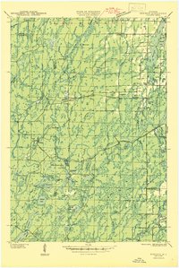
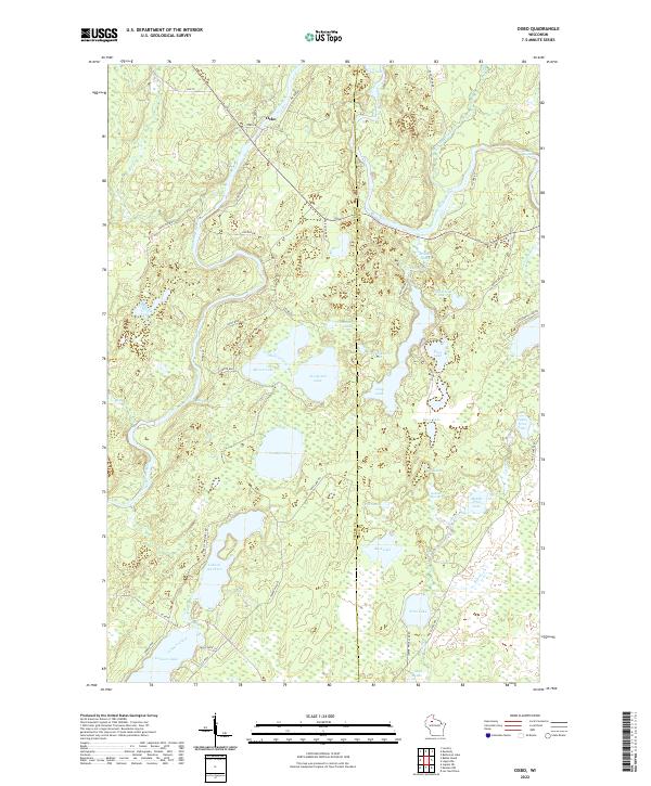
 1970 Oxbo1972 Print · USGSThe Flambeau River country comes alive in this 1970s record of Sawyer and Price counties. Trace the river's path past Barnaby Rapids and Oxbo, or locate mid-century landmarks like the Connors Lake Lookout Tower and Mason Lake Landing Field.2 unique versions available
 - 1980 Map of Park Falls
 1980 Park Falls1980 Print · USGSNorthern Wisconsin's timber and rail corridor is meticulously detailed here in the early eighties. Researchers can trace the Soo Line through forest-bound towns like Park Falls, Phillips, and Lugerville while exploring the vast Chequamegon National Forest.
 - 2010 Map of Oxbo, 2010 Print
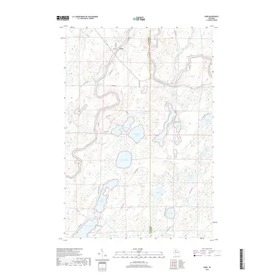
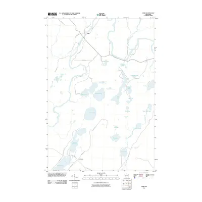 2010 Oxbo2010 Print · USGSCovers Oxbo, including Draper, Winter, and other nearby areas
 - 2013 Map of Oxbo, 2013 Print
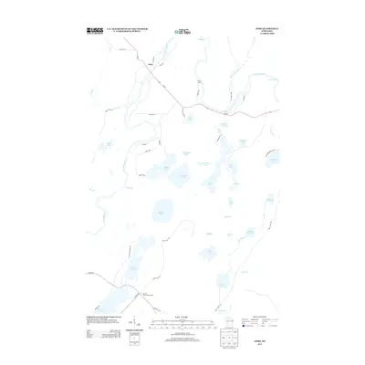 2013 Oxbo2013 Print · USGSCovers Oxbo, including Draper, Winter, and other nearby areas
 - 2015 Map of Oxbo, 2015 Print
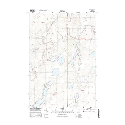 2015 Oxbo2015 Print · USGSCovers Oxbo, including Draper, Winter, and other nearby areas
 - 2018 Map of Oxbo, 2018 Print
 2018 Oxbo2018 Print · USGSCovers Oxbo, including Draper, Winter, and other nearby areas
 - 2022 Map of Oxbo, 2022 Print
 2022 Oxbo2022 Print · USGSThe Flambeau River corridor comes alive in this contemporary record of the Wisconsin Northwoods near the Sawyer and Price county line. Modern researchers can trace the shores of Lake of the Pines, locate Jackson Springs, and follow the river to Barnaby Rapids.
End of results
Showing maps 1-11 of 11
Top cities near Oxbo
Frequently asked questions
- What are the different types of historical maps available for Oxbo?
- What is the oldest map of Oxbo?
- Where can I purchase historical maps of Oxbo for my home or office?
- Where can I download high-res historical maps of Oxbo?
- Are there historical topographic maps available for Oxbo?
- Is there historical aerial imagery available for Oxbo?
- Where are historical maps of Oxbo sourced from?