Old Maps of Hay Stack Corner, Wisconsin
Explore 11 old maps of Hay Stack Corner, spanning from 1945 to today. These high-resolution historic maps reveal how streets, neighborhoods, landmarks, and natural features evolved over time — perfect for genealogy, metal detecting, research, and local history exploration.
What you can do with these maps:
- See how Hay Stack Corner changed over time: Compare historical maps to modern-day views to trace roads, homesites, rail lines & more.
- View detailed metadata: Each map includes creators, publishers, year, scale, and archive source.
- Overlay maps with satellite & LiDAR: Visualize the past alongside modern tools to explore terrain & human change.
- Trusted historical sources: Maps sourced from the USGS, Library of Congress, and other archives.
- Access maps your way: View online, download high-res files, or order prints for personal or research use.
Start exploring old maps of Hay Stack Corner to uncover forgotten places, hidden landmarks, and the deep history beneath your feet.
Hay Stack Corner, WI maps
(11)- 1945 Map of Ingram, 1967 Print
 1945 Ingram1967 Print · USGSThe Flambeau River basin comes into sharp focus in the mid-1940s, revealing a landscape of remote camps and early state forestry. Researchers can trace the rail corridor through Ingram or locate vanished sites like the CCC Rusk Camp (Abandoned) and Pioneer Sch.
 - 1947 Map of Ingram
 1947 Ingram1947 Print · USGSIn the Wisconsin Northwoods after the war, the Flambeau River basin was a landscape of timber management and hydroelectric power. Researchers can locate the CCC Rusk Camp, the Big Falls Dam, and rural landmarks like the Swedish Lutheran Cem.
 - 1953 Map of Rice Lake, 1967 Print
 1953 Rice Lake1967 Print · USGSNorthwest Wisconsin during the mid-fifties reveals a landscape defined by timber, rail, and water. Genealogists and historians can trace the development of river towns like Ladysmith and Rice Lake along the Soo Line and Chicago and North Western railroads.2 unique versions available
 - 1959 Map of Rice Lake
 1959 Rice Lake1959 Print · USGSNorthwest Wisconsin in the late fifties was a land of expanding road networks and deep-seated timber history. Genealogists and historians can trace rail lines like the Soo Line RR and Chicago St Paul Minneapolis and Omaha Ry as they link settlements from Spooner to Medford.
 - 1971 Map of Ingram NW, 1973 Print
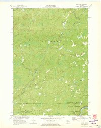 1971 Ingram NW1973 Print · USGSSawyer County in the early 1970s is a landscape of dense forests and river networks just as modern conservation boundaries were being solidified. You can trace old logging routes like the Bissell Grade and locate historical sites such as Old Weaver Camp and Hay-Stack Corner.2 unique versions available
 - 1980 Map of Park Falls
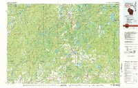 1980 Park Falls1980 Print · USGSNorthern Wisconsin's timber and rail corridor is meticulously detailed here in the early eighties. Researchers can trace the Soo Line through forest-bound towns like Park Falls, Phillips, and Lugerville while exploring the vast Chequamegon National Forest.
 - 2010 Map of Ingram NW, 2010 Print
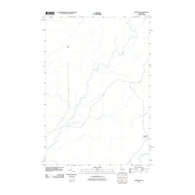 2010 Ingram NW2010 Print · USGSSawyer County at the start of the 2010s is a landscape of winding rivers and forest grades. Researchers can trace the paths of the Thornapple River and find local landmarks like Old Weilep Camp and Hay Stack Corner.
 - 2013 Map of Ingram NW, 2013 Print
 2013 Ingram NW2013 Print · USGSSawyer County’s deep woods and river systems are documented here in the early twenty-first century. Researchers can trace the path of the Thornapple River and locate remote landmarks like Hay Stack Corner and the former Old Weilep Camp.
 - 2015 Map of Ingram NW, 2015 Print
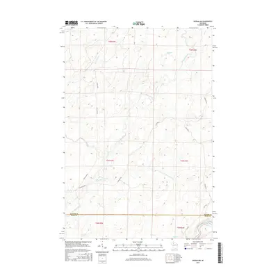 2015 Ingram NW2015 Print · USGSSawyer and Rusk Counties' dense river systems are preserved here as they appeared in the early 21st century. Researchers can trace historical logging routes like the Bissell Grade Rd and locate natural landmarks such as the Third Cedar Rapids and Thornapple Spring.
 - 2018 Map of Ingram NW, 2018 Print
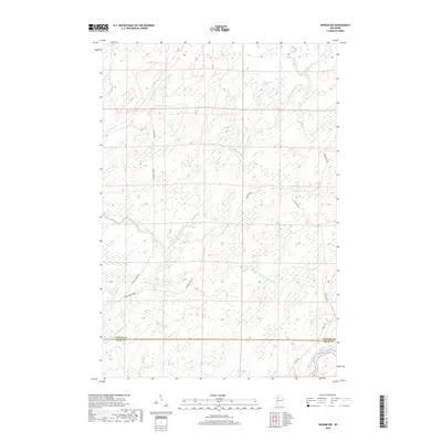 2018 Ingram NW2018 Print · USGSThe Sawyer and Rusk County line in northern Wisconsin is documented here in the early twenty-first century, showing a landscape defined by water and woods. Genealogists and historians can trace old timber routes like Bissell Grade Rd and the Thornapple Grade near the winding Thornapple River.
 - 2022 Map of Ingram NW, 2022 Print
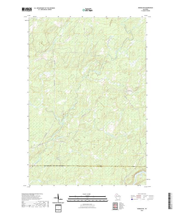 2022 Ingram NW2022 Print · USGSSawyer County at the start of the 2020s remains a landscape defined by the winding Thornapple River and old timber corridors. Researchers can trace the paths of the Thornapple Grade and locate features like Thornapple Spring and the Third Cedar Rapids.
End of results
Showing maps 1-11 of 11
Top cities near Hay Stack Corner
- Ladysmith historical maps
- Winter historical maps
- Hawkins historical maps
- Ojibwa historical maps
- Draper historical maps
- Tony historical maps
See more
Frequently asked questions
- What are the different types of historical maps available for Hay Stack Corner?
- What is the oldest map of Hay Stack Corner?
- Where can I purchase historical maps of Hay Stack Corner for my home or office?
- Where can I download high-res historical maps of Hay Stack Corner?
- Are there historical topographic maps available for Hay Stack Corner?
- Is there historical aerial imagery available for Hay Stack Corner?
- Where are historical maps of Hay Stack Corner sourced from?