Old Maps of Pulcifer, Green Valley for Metal Detecting
Plan your next treasure hunt with 9 historic maps of Pulcifer. Find old homesites, ghost towns, trails, and gathering spots that may be lost to time — perfect for identifying promising metal detecting locations.
- Locate forgotten sites: Uncover places like long-lost settlements, abandoned rail lines, or gathering spots.
- Plan better hunts: Use map overlays combined with LiDAR or satellite views to narrow in on historically rich areas.
- Made for detectorists: Thousands of hobbyists use these maps to discover relics, coins, and hidden history.
Use these historic maps to boost your research and find new opportunities beneath the surface of Pulcifer.
Pulcifer, Green Valley maps
(9)- 1955 Map of Green Bay, 1968 Print
 1955 Green Bay1968 Print · USGSCentral and Eastern Wisconsin are captured here in the mid-fifties, showing the industrial growth of the Fox Valley and Wisconsin River corridors. Genealogists and historians can trace rail lines like the Green Bay and Western through settlements like Weyauwega, Clintonville, and Pulaski.2 unique versions available
 - 1956 Map of Gillett, 1957 Print
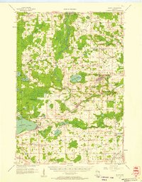 1956 Gillett1957 Print · USGSIn the mid-fifties, the Oconto County countryside was defined by a dense network of one-room schoolhouses and the Chicago and North Western rail line. Genealogists can trace family roots through sites like Puleifer Cem or the Valley Line Sch (Abandoned).
 - 1974 Map of Krakow, 1977 Print
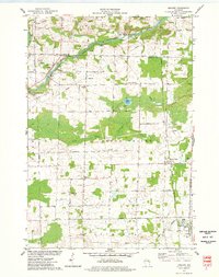 1974 Krakow1977 Print · USGSThe borderlands of Shawano and Oconto Counties are captured in the mid-1970s, showcasing a rural landscape defined by the Oconto River and the rail line. Researchers can trace family roots at Danish Cem or locate the site of Pairview Sch and Advance.
 - 1984 Map of Shawano, 1985 Print
 1984 Shawano1985 Print · USGSNortheast Wisconsin in the mid-1980s was a landscape defined by its indigenous heritage and the bustling trade centers of the Fox and Wolf River valleys. Genealogists and historians can trace rail corridors like the Chicago and North Western or locate family sites near Keshena, Cecil, and the Fort Howard Cem.2 unique versions available
 - 2010 Map of Krakow, 2010 Print
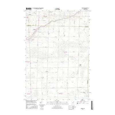
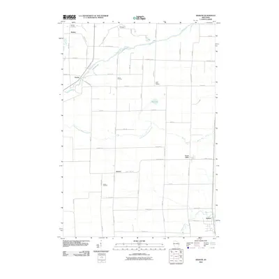 2010 Krakow2010 Print · USGSCovers Pulcifer, including Chase, Angelica, and other nearby areas
 - 2013 Map of Krakow, 2013 Print
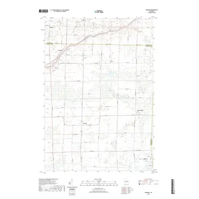
 2013 Krakow2013 Print · USGSCovers Pulcifer, including Chase, Angelica, and other nearby areas
 - 2016 Map of Krakow, 2016 Print
 2016 Krakow2016 Print · USGSCovers Pulcifer, including Chase, Angelica, and other nearby areas
 - 2018 Map of Krakow, 2018 Print
 2018 Krakow2018 Print · USGSCovers Pulcifer, including Chase, Angelica, and other nearby areas
 - 2022 Map of Krakow, 2022 Print
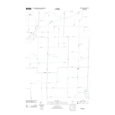
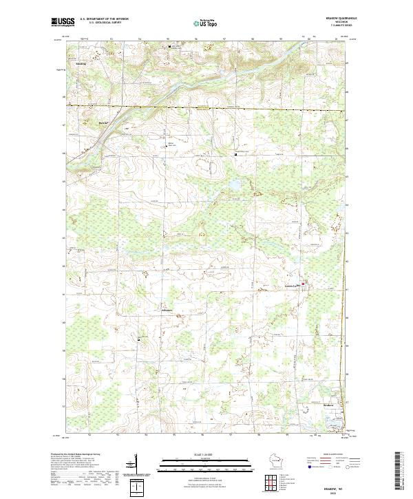 2022 Krakow2022 Print · USGSThe rural borderlands of Oconto and Shawano counties are documented here in the early twenty-first century as a landscape of small farm towns and river valleys. Researchers can trace family history through sites like Dickson Cem or the settlements of Advance and Krakow.
End of results
Showing maps 1-9 of 9
Top cities near Pulcifer
- Shawano historical maps
- Pulaski historical maps
- Chase historical maps
- Oconto Falls historical maps
- Angelica historical maps
- Bonduel historical maps
See more
Frequently asked questions
- What are the different types of historical maps available for Pulcifer?
- What is the oldest map of Pulcifer?
- Where can I purchase historical maps of Pulcifer for my home or office?
- Where can I download high-res historical maps of Pulcifer?
- Are there historical topographic maps available for Pulcifer?
- Is there historical aerial imagery available for Pulcifer?
- Where are historical maps of Pulcifer sourced from?