Old Maps of Trempealeau, Wisconsin
Explore 25 old maps of Trempealeau, spanning from 1929 to today. These high-resolution historic maps reveal how streets, neighborhoods, landmarks, and natural features evolved over time — perfect for genealogy, metal detecting, research, and local history exploration.
What you can do with these maps:
- See how Trempealeau changed over time: Compare historical maps to modern-day views to trace roads, homesites, rail lines & more.
- View detailed metadata: Each map includes creators, publishers, year, scale, and archive source.
- Overlay maps with satellite & LiDAR: Visualize the past alongside modern tools to explore terrain & human change.
- Trusted historical sources: Maps sourced from the USGS, Library of Congress, and other archives.
- Access maps your way: View online, download high-res files, or order prints for personal or research use.
Start exploring old maps of Trempealeau to uncover forgotten places, hidden landmarks, and the deep history beneath your feet.
Trempealeau, WI maps
(25)- 1929 Map of Galesville
 1929 Galesville1929 Print · USGSWisconsin's coulee country and the Mississippi riverfront are captured here in the mid-twenties, showing a landscape of bluff-top farms and river towns. Genealogists can locate family landmarks like Butman Corners, Norway Valley Ch, and numerous rural schools including Wayside Sch.2 unique versions available
 - 1930 Map of La Crescent
 1930 La Crescent1930 Print · USGSAs the Mississippi and Black Rivers met in the late twenties, this survey captured a world of river-bottom sloughs and busy rail junctions. Genealogists can trace early homesteads and schools like Oak Grove Sch, while exploring the vanished river paths of Bullet Chute and New Amsterdam.3 unique versions available
 - 1953 Map of Eau Claire, 1965 Print
 1953 Eau Claire1965 Print · USGSWest-central Wisconsin in the mid-fifties shows a landscape of river-valley industry and vast wildlife refuges during the transition from rails to modern highways. Genealogists and historians can trace the rail corridors of the Chicago and North Western or locate family-named landmarks like Decorah Mound and Chippewa Island.4 unique versions available
 - 1956 Map of La Crescent, 1958 Print
 1956 La Crescent1958 Print · USGSThe Mississippi River borderlands thrive in the mid-fifties, showing the transition from the high ridges of Houston and Winona counties to the Wisconsin prairie. Genealogists can trace family names across South Ridge Ch, Loretta Sch, and cemeteries like Crucifixion Cem.2 unique versions available
 - 1958 Map of Eau Claire
 1958 Eau Claire1958 Print · USGSWestern Wisconsin in the late fifties shows a landscape of growing regional hubs and massive wildlife refuges. Trace the rail lines of the Chicago and North Western between Eau Claire and Marshfield, or explore the terrain around Iron Mound and Lake Wissota.
 - 1958 Map of La Crosse, 1979 Print
 1958 La Crosse1979 Print · USGSThe Driftless Area of Wisconsin and Iowa is captured here during the late seventies, showing the intricate river valleys and ridge-top settlements. Genealogists and historians can trace the rail corridors of the Soo Line or locate landmarks like Grandad Bluff and Effigy Mounds National Monument.2 unique versions available
 - 1961 Map of La Crosse
 1961 La Crosse1961 Print · USGSThe Driftless Area at the start of the 1960s reveals a complex network of river towns and rail lines along the Mississippi River. Genealogists and historians can trace old settlements like New Amsterdam and Wyattville or locate major landmarks like Camp McCoy Military Reservation and Effigy Mounds National Monument.
 - 1964 Map of Eau Claire
 1964 Eau Claire1964 Print · USGSWest-central Wisconsin in the mid-1960s was a hub of river-driven industry and expanding rail networks. Researchers can trace historic homesteads near Menomonie, follow the Soo Line RR through Marshfield, or explore the grounds of the Camp McCoy Military Reservation.
 - 1965 Map of La Crosse
 1965 La Crosse1965 Print · USGSThe Driftless Area and the Upper Mississippi valley are captured here during a period of steady mid-century growth. Researchers can trace the rail lines of the Chicago and North Western or locate riverfront sites like Effigy Mounds National Monument and the Camp McCoy Military Reservation.
 - 1973 Map of Pickwick, 1975 Print
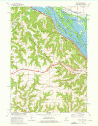 1973 Pickwick1975 Print · USGSThe Mississippi River bluffs and valleys of Winona County are captured here in the mid-1970s. Genealogists and local historians can trace family locations from Pickwick and Dakota to rural sites like Wilson Cemetery and New Hartford.2 unique versions available
 - 1973 Map of Trempealeau, 1975 Print
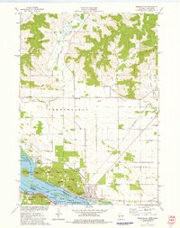 1973 Trempealeau1975 Print · USGSThe Mississippi River bluffs and riverfront at Trempealeau are shown in the early seventies as a major rail hub. Trace the junction of three railroads near Trempealeau and explore the rugged river landscape of Perrot State Park and Eagle Bluff.
 - 1976 Map of La Crosse
 1976 La Crosse1976 Print · USGSThe Driftless Area and Mississippi River valley are captured here in the mid-seventies, showing a landscape of deep coulees and river commerce. Genealogists can trace family footprints from La Crosse to smaller hamlets like Newburg Corners and Witoka.
 - 1984 Map of La Crosse, 1985 Print
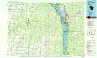 1984 La Crosse1985 Print · USGSThe Driftless Area of the upper Mississippi valley appears here in the mid-eighties, showing the tri-state intersections of Wisconsin, Minnesota, and Iowa. Genealogists and local historians can trace family-named landmarks such as Peacock Ridge or Prosch Coulee and locate rural landmarks like St Marys Ch.
 - 1985 Map of Winona
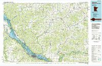 1985 Winona1985 Print · USGSThe Mississippi River valley and the coulees of the Driftless Area are shown here in the mid-1980s as the river's lock-and-dam system was well-established. Researchers can trace the riverfront at Winona, explore the bluffs near Galesville, or locate landmarks like Sugarloaf and Merrick State Park.2 unique versions available
 - 1990 Map of La Crosse, 1991 Print
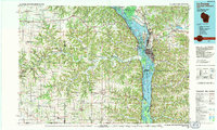 1990 La Crosse1991 Print · USGSThe tri-state river valley at the end of the twentieth century shows a landscape defined by the Mississippi River and heavy rail. Trace the paths of the Soo Line and Burlington Northern through river towns like Brownsville and La Crescent.
 - 2010 Map of Pickwick, 2010 Print
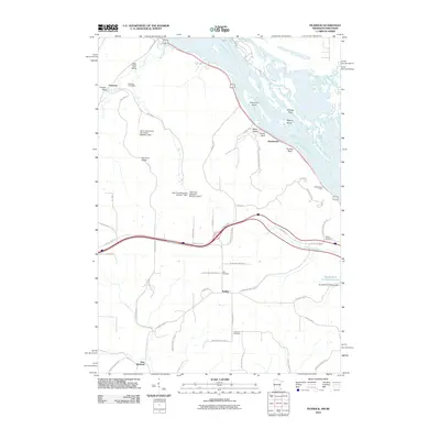 2010 Pickwick2010 Print · USGSThe Mississippi River bluffs and inland valleys are captured here in the early 21st century, showing a landscape of high ridges and rural crossroads. Researchers can trace family roots at Wilson Cemetery or Hiler Cemetery, and explore the old riverfront at Donehower or Pickwick.
 - 2011 Map of Trempealeau, 2011 Print
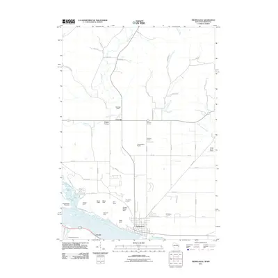 2011 Trempealeau2011 Print · USGSThe river bluffs of Trempealeau County are meticulously mapped in this early twenty-first-century survey. Local historians can trace family roots through the Old Catholic Cemetery or locate landmarks like Chicken Breast Bluff and the Schubert Airstrip.
 - 2013 Map of Trempealeau, 2013 Print
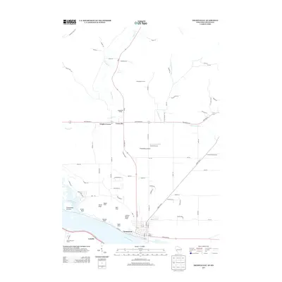 2013 Trempealeau2013 Print · USGSThe Mississippi River valley meets the bluffs of western Wisconsin in the early twenty-first century. Local historians can trace the development of riverfront communities like Trempealeau and Lamoille, or locate rural landmarks such as Schubert Airstrip and Perrot State Park.
 - 2013 Map of Pickwick, 2013 Print
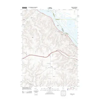 2013 Pickwick2013 Print · USGSThe river bluffs and rural valleys of the Upper Mississippi are documented here during the early twenty-first century. Researchers can trace family sites near Nodine, locate the Wilson Cem, and identify old property lines along Miller Valley and Pine Cr.
 - 2015 Map of Trempealeau, 2015 Print
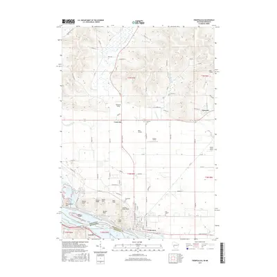 2015 Trempealeau2015 Print · USGSThe bluffs and river bottoms of the upper Mississippi are captured here as the region appeared in the mid-2010s. Researchers can locate local landmarks like Evergreen Cem, the Schubert Airstrip, and various family-named bluffs including Bradys Bluff.
 - 2016 Map of Pickwick, 2016 Print
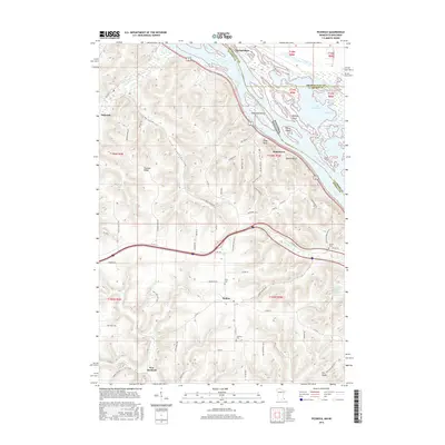 2016 Pickwick2016 Print · USGSThe river bluffs of the upper Mississippi valley are captured here during a period of modern rural development near the Minnesota-Wisconsin border. Researchers can trace the layout of Nodine and Pickwick or locate family sites like Hiler Cem and Wilson Cem.
 - 2018 Map of Trempealeau, 2018 Print
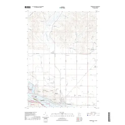 2018 Trempealeau2018 Print · USGSThe Wisconsin-Minnesota border along the Mississippi River is captured here in the late 2010s. Researchers can trace landforms like Eagle Bluff and Trempealeau Mtn, or locate family sites near Evergreen Cem and the village of Trempealeau.
 - 2019 Map of Pickwick, 2019 Print
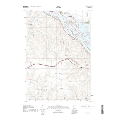 2019 Pickwick2019 Print · USGSThe Mississippi River bluffs near the Minnesota-Wisconsin border are captured here in the late twenty-teens. Genealogists can locate family landmarks like Lutheran Cem and Hiler Cem or trace the early paths of Pickwick and Nodine.
 - 2022 Map of Pickwick, 2022 Print
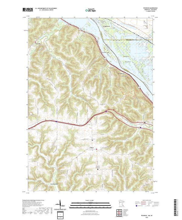 2022 Pickwick2022 Print · USGSThe Mississippi River bluffs in Winona County were well-established by the early twenty-first century, balancing river industry with quiet ridge-top farming. Researchers can find generational landmarks like the Saint John's Evangelical Lutheran Cem and trace the paths of Big Trout Cr through the valley at Pickwick.
 - 2022 Map of Trempealeau, 2022 Print
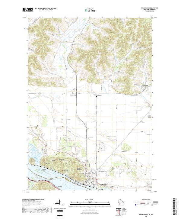 2022 Trempealeau2022 Print · USGSThe Wisconsin-Minnesota borderlands come to life in the 2020s, showing the riverfront village of Trempealeau beneath its famous bluffs. Genealogists can trace family footprints at Old Catholic Cem and Evergreen Cem or locate the Carhart Farms Airport.
End of results
Showing maps 1-25 of 25
Top cities near Trempealeau
- La Crosse historical maps
- Winona historical maps
- Onalaska historical maps
- Holmen historical maps
- La Crescent historical maps
- Shelby historical maps
See more
Frequently asked questions
- What are the different types of historical maps available for Trempealeau?
- What is the oldest map of Trempealeau?
- Where can I purchase historical maps of Trempealeau for my home or office?
- Where can I download high-res historical maps of Trempealeau?
- Are there historical topographic maps available for Trempealeau?
- Is there historical aerial imagery available for Trempealeau?
- Where are historical maps of Trempealeau sourced from?