2020s Maps of Stark, Wisconsin
Explore 4 historic maps of Stark from the 2020s. These maps offer a rare glimpse into what life looked like during the 2020s — showing old roads, neighborhoods, homes, and landmarks that have changed or disappeared over time.
Whether you're researching your family's past, planning a metal detecting trip, or studying how Stark's landscape evolved across the 2020s, these high-resolution maps are a powerful tool for exploring the history of this region.
- Focus on a specific era: All maps on this page are from the 2020s, giving you a focused view of this time period.
- See what’s changed: Compare century-old streets, trails, and buildings to today's modern landscape using overlays and satellite layers.
- Research with precision: Use these maps for genealogy, historical research, land use analysis, or educational projects.
- View, download, or print: Maps are fully viewable online in high resolution, and can be downloaded or printed for your own records.
Start exploring Stark's history through authentic maps from the 2020s. This is your window into the past.
Stark, WI maps
(4)- 2022 Map of Ontario, 2022 Print
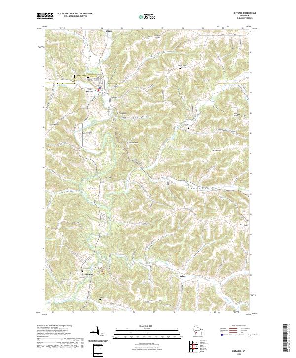 2022 Ontario2022 Print · USGSThe driftless landscape of Vernon and Monroe counties comes alive in this modern survey of the Kickapoo River valley. Genealogists can locate family landmarks like Hilltop Rest Cem, Rockton Cem, and the quiet settlement of Rockton.
 - 2022 Map of Dell, 2022 Print
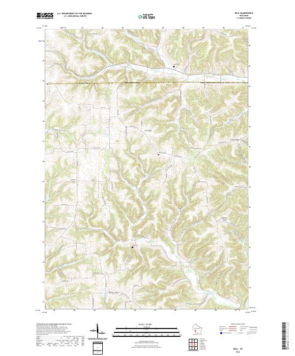 2022 Dell2022 Print · USGSThe Dell area of Vernon County is shown here in the 2020s, defined by its complex ridge-and-valley terrain. Researchers can trace family history at Dell Cem or Home Cem and locate landmarks like Buckeye Ridge and Twentyfour Valley.
 - 2022 Map of La Farge, 2022 Print
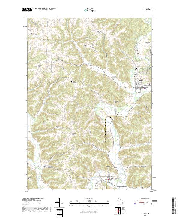 2022 La Farge2022 Print · USGSThe Kickapoo River valley in the early twenty-first century remains a landscape of high ridges and deep hollows. Trace local family history through rural landmarks like Mount Zion Cem, Star Cem, and the river settlements of La Farge and Viola.
 - 2022 Map of West Lima, 2022 Print
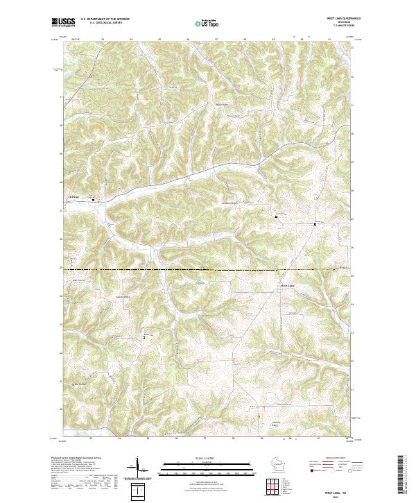 2022 West Lima2022 Print · USGSVernon and Richland counties meet in this Driftless Area landscape during the early 2020s, characterized by high ridges and deep stream valleys. Researchers can locate local burial sites like Booher Cem and Bear Creek Cem or trace the winding course of the Kickapoo River.
End of results
Showing maps 1-4 of 4
Top cities near Stark
- Cashton historical maps
- Leon historical maps
- Greenwood historical maps
- La Farge historical maps
- Rockbridge historical maps
- Clifton historical maps
See more
Top neighborhoods of Stark
Frequently asked questions
- What are the different types of historical maps available for Stark?
- What is the oldest map of Stark?
- Where can I purchase historical maps of Stark for my home or office?
- Where can I download high-res historical maps of Stark?
- Are there historical topographic maps available for Stark?
- Is there historical aerial imagery available for Stark?
- Where are historical maps of Stark sourced from?