Old Maps of Nobleton, Wisconsin for Hiking & Exploration
Hike through history with 12 historic maps of Nobleton. Explore old trails, ghost towns, and forgotten backroads — perfect for outdoor adventurers and local explorers.
- Rediscover forgotten places: Map out old mining camps, roads, and footpaths that no longer exist on modern maps.
- Layer with modern tools: Combine with LiDAR or satellite views to plan hikes through historical terrain.
- Made for exploration: Popular among hikers, overlanders, and local history lovers.
Use these maps to find adventure and explore the hidden past of Nobleton.
Nobleton, WI maps
(12)- 1949 Map of Rice Lake, 1961 Print
 1949 Rice Lake1961 Print · USGSIn the Wisconsin Northwoods after the war, the lakeside communities and rural schools of Barron and Washburn counties remained tightly knit. Genealogists can find family landmarks like Loveland Corners, Evergreen Ch, and the many rural schools including Lincoln Sch.
 - 1951 Map of Rice Lake
 1951 Rice Lake1951 Print · USGSNorthwest Wisconsin’s lake country is captured in the early fifties, showing the transition from rail-dependent commerce to modern aviation. Researchers can trace dozens of country schoolhouses like Pioneer Sch and Lincoln Sch, or locate the Rice Lake Municipal Airport.
 - 1953 Map of Rice Lake, 1967 Print
 1953 Rice Lake1967 Print · USGSNorthwest Wisconsin during the mid-fifties reveals a landscape defined by timber, rail, and water. Genealogists and historians can trace the development of river towns like Ladysmith and Rice Lake along the Soo Line and Chicago and North Western railroads.2 unique versions available
 - 1959 Map of Rice Lake
 1959 Rice Lake1959 Print · USGSNorthwest Wisconsin in the late fifties was a land of expanding road networks and deep-seated timber history. Genealogists and historians can trace rail lines like the Soo Line RR and Chicago St Paul Minneapolis and Omaha Ry as they link settlements from Spooner to Medford.
 - 1965 Map of Rice Lake, 1967 Print
 1965 Rice Lake1967 Print · USGSThe lake country of Barron and Washburn counties is shown here in the mid-1960s, a landscape of interconnected waterways and rural townships. Genealogists and local historians can trace legacy sites like the Oak Grove Center Sch, Evergreen Cem, and the settlement at Mikana.
 - 1980 Map of Spooner
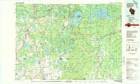 1980 Spooner1980 Print · USGSNorthwestern Wisconsin at the dawn of the eighties reveals a landscape of deep forests and transitioning rail corridors. Genealogists and historians can trace lakefront settlements like Spooner and Birchwood or follow the early Tuscobia-Park Falls State Trail.
 - 1982 Map of Nobleton
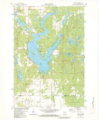 1982 Nobleton1982 Print · USGSWashburn and Barron counties are shown in the early eighties during a peak era of lakeside recreation and rural settlement. Researchers can trace family sites near Nobleton, the Tomahawk Scout Reservation, and the Long Lake Cem.
 - 2010 Map of Nobleton, 2010 Print
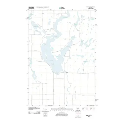 2010 Nobleton2010 Print · USGSWashburn County lake country is captured here in the early twenty-first century as recreation and rural living define the shoreline. Researchers can trace local landmarks like Nobleton, the Tomahawk Scout Reservation, and the Long Lake Dam at the head of the Brill River.
 - 2013 Map of Nobleton, 2013 Print
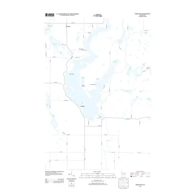 2013 Nobleton2013 Print · USGSWashburn County's lake-strewn landscape is captured here in the early twenty-first century, showing the rural community of Madge and its surrounding waters. Researchers can trace land use around the Tomahawk Scout Reservation or locate the Lilac Time Airport and numerous family-named roads.
 - 2015 Map of Nobleton, 2015 Print
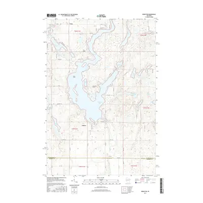 2015 Nobleton2015 Print · USGSWashburn County's lake country is documented here in the mid-2010s, showing the residential and recreational landscape around Long Lake. Researchers can locate old property access points and family-named landmarks like Gruenhagen Bay, Kunz Island, and the settlement of Nobleton.
 - 2018 Map of Nobleton, 2018 Print
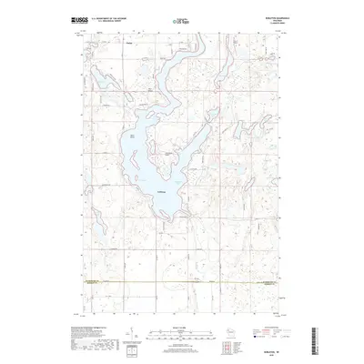 2018 Nobleton2018 Print · USGSWashburn County's lake-rich landscape is captured in this recent survey, showcasing the rural communities of Madge and Nobleton. Researchers can trace old routes like Abandoned Rd and explore the complex shorelines of Long Lake and Gruenhagen Bay.
 - 2022 Map of Nobleton, 2022 Print
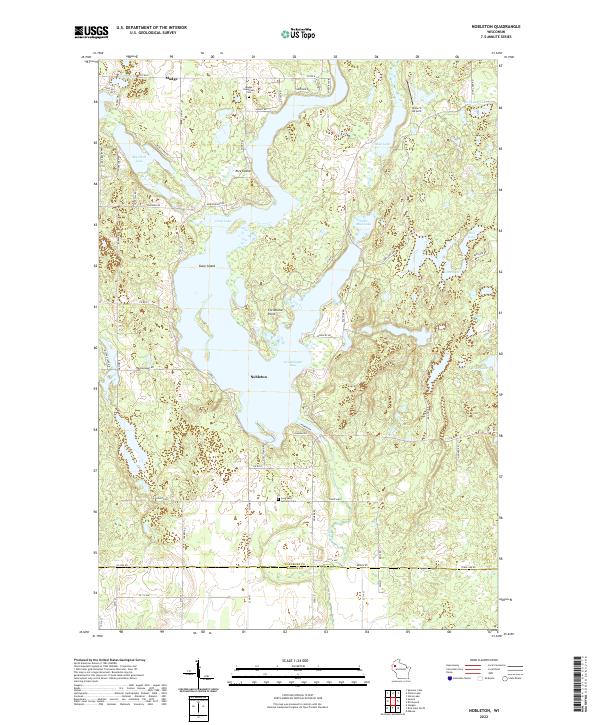 2022 Nobleton2022 Print · USGSWashburn County's lake district is shown here in the 2020s, centered on the intricate shoreline of Long Lake. Researchers can trace local heritage through the Madge Evergreen Cem, the Abandoned RR, and landmarks like Christiana Point.
End of results
Showing maps 1-12 of 12
Top cities near Nobleton
- Rice Lake historical maps
- Spooner historical maps
- Shell Lake historical maps
- Trego historical maps
- Beaver Brook historical maps
- Sumner historical maps
See more
Frequently asked questions
- What are the different types of historical maps available for Nobleton?
- What is the oldest map of Nobleton?
- Where can I purchase historical maps of Nobleton for my home or office?
- Where can I download high-res historical maps of Nobleton?
- Are there historical topographic maps available for Nobleton?
- Is there historical aerial imagery available for Nobleton?
- Where are historical maps of Nobleton sourced from?