Old Maps of Farmington, Wisconsin for Metal Detecting
Plan your next treasure hunt with 33 historic maps of Farmington. Find old homesites, ghost towns, trails, and gathering spots that may be lost to time — perfect for identifying promising metal detecting locations.
- Locate forgotten sites: Uncover places like long-lost settlements, abandoned rail lines, or gathering spots.
- Plan better hunts: Use map overlays combined with LiDAR or satellite views to narrow in on historically rich areas.
- Made for detectorists: Thousands of hobbyists use these maps to discover relics, coins, and hidden history.
Use these historic maps to boost your research and find new opportunities beneath the surface of Farmington.
Farmington, WI maps
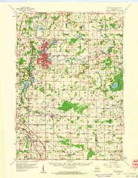
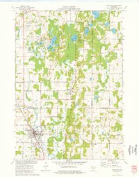
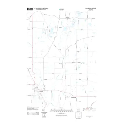
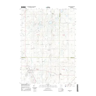
(33)- 1904 Map of West Bend
 1904 West Bend1904 Print · USGSWashington County at the turn of the century was a landscape of thriving river towns and vital rail corridors. Genealogists and local historians can trace the early footprints of West Bend and Barton, or locate smaller rural junctions like Kirchhayn and Rockfield.3 unique versions available
 - 1955 Map of Kewaskum, 1957 Print
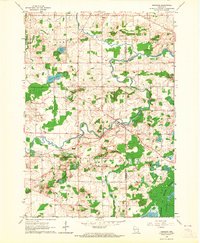
 1955 Kewaskum1957 Print · USGSMid-century eastern Wisconsin comes alive in this survey of the glacial Kettle Moraine region. Genealogists and historians can locate rural landmarks like Conners Mill, the Parnell Lookout Tower, and old schools including Mitchell Sch and Hillside Sch.4 unique versions available
 - 1957 Map of Madison, 1967 Print
 1957 Madison1967 Print · USGSSouth-central Wisconsin in the mid-fifties reveals a landscape of industrial hubs and glacial lakes linked by a dense rail and highway network. Genealogists and historians can trace the development of lakeside communities and find notable sites like Badger Ordnance Works and the Horicon National Wildlife Refuge.3 unique versions available
 - 1959 Map of West Bend, 1960 Print
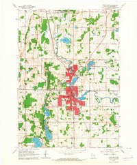
 1959 West Bend1960 Print · USGSWashington and Ozaukee counties are shown here in the late fifties, as the Milwaukee River corridor supported both industry and recreation. Trace local history through family-named landmarks like Last Home Cem and rail hubs at Rugby Junction.
 - 1959 Map of Newburg, 1964 Print
 1959 Newburg1964 Print · USGSThe river valleys of Washington and Ozaukee counties are captured here in the late fifties, showing a rural landscape defined by parish life and the Milwaukee River. Genealogists can trace family roots through sites like St Finbars Ch, Myra, and the extensive Cedarburg Bog.4 unique versions available
 - 1959 Map of West Bend, 1964 Print
 1959 West Bend1964 Print · USGSWest Bend and the Milwaukee River valley are captured here in the late fifties as the city expands toward Barton. Researchers can locate family landmarks like Orchard Grove, Union Cem, and schools such as Silver Maple Sch or Oak Knoll Sch.4 unique versions available
 - 1960 Map of Madison
 1960 Madison1960 Print · USGSCentral and Southern Wisconsin are captured in the late fifties, showing the region as its rail-and-river network matured. Trace the paths of the Soo Line RR or locate family roots near Lake Mendota and Horicon National Wildlife Refuge.2 unique versions available
 - 1974 Map of Batavia, 1977 Print
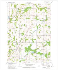 1974 Batavia1977 Print · USGSThe rural borderlands of Sheboygan, Washington, and Ozaukee counties are preserved here in the mid-seventies as agriculture and gravel mining shaped the land. Researchers can locate family landmarks like the Winfield Cem, St Johns Ch, and the small settlement of Boltonville.
 - 1974 Map of Kewaskum, 1977 Print
 1974 Kewaskum1977 Print · USGSThe glacial landscapes of Washington and Sheboygan Counties are on full display in the mid-1970s, showcasing the intricate network of lakes and kettle formations. Researchers can trace rural life through the New Fane Millpond, early cemeteries like New Prospect Cem, and the Chicago and North Western rail corridor.
 - 1980 Map of Fond Du Lac
 1980 Fond Du Lac1980 Print · USGSThe Fox River Valley and Horicon Marsh meet here during the late twentieth century, showing a transition from lakeside industry to glacial conservation. Genealogists can locate family sites at Estabrook Cem or trace the rail lines through Ripon and Waupun.
 - 1984 Map of Oconomowoc, 1985 Print
 1984 Oconomowoc1985 Print · USGSSoutheast Wisconsin in the mid-eighties shows a landscape defined by its glacial heritage and expanding metropolitan corridors. Genealogists and historians can trace the development of lakeside communities like Oconomowoc and Pewaukee, or find established settlements such as Watertown and Beaver Dam.
 - 1991 Map of Oconomowoc
 1991 Oconomowoc1991 Print · USGSSoutheastern Wisconsin in the early nineties shows a landscape of glacial lakes and growing suburbs. Trace local history through Aztalan State Park, Carroll College, and the sprawling Horicon Marsh State Wildlife Area.
 - 1999 Map of Kewaskum, 2001 Print
 1999 Kewaskum2001 Print · USGSThe glacier-carved ridges of eastern Wisconsin are captured here at the close of the century, showing the intersection of three counties. Genealogists can locate family sites at New Prospect Cem, St Matthias Ch, or the historic New Fane Millpond.
 - 2010 Map of Kewaskum, 2010 Print
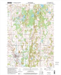
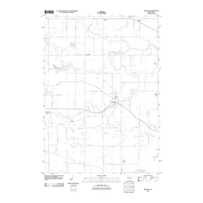
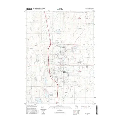
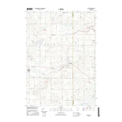
 2010 Kewaskum2010 Print · USGSCovers Farmington, including Kewaskum, New Fane, and other nearby areas
 - 2010 Map of West Bend, 2010 Print
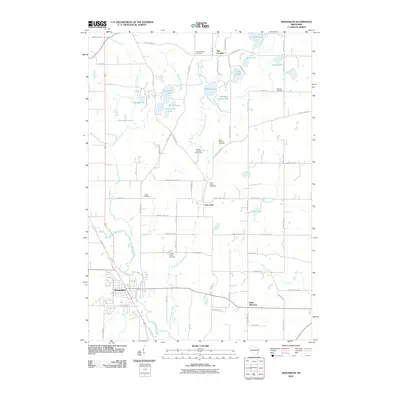
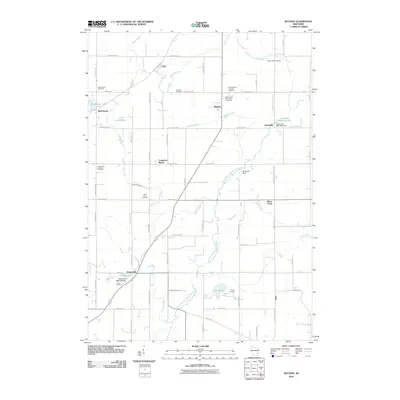
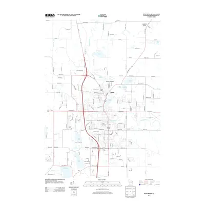
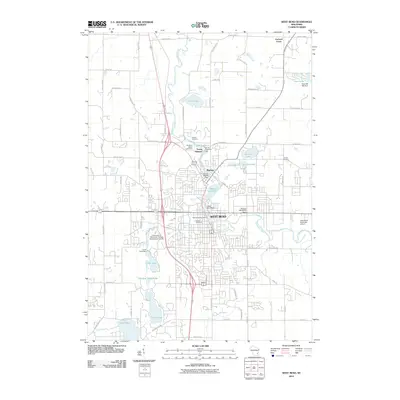 2010 West Bend2010 Print · USGSCovers Farmington, including West Bend, Kewaskum, and other nearby areas
 - 2010 Map of Newburg, 2010 Print
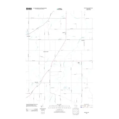
 2010 Newburg2010 Print · USGSCovers Farmington, including West Bend, Newburg, and other nearby areas
 - 2010 Map of Batavia, 2010 Print
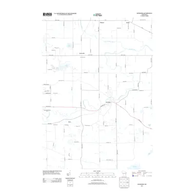
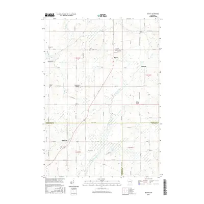
 2010 Batavia2010 Print · USGSCovers Farmington, including Beechwood, Boltonville, and other nearby areas
 - 2013 Map of Batavia, 2013 Print
 2013 Batavia2013 Print · USGSCovers Farmington, including Beechwood, Boltonville, and other nearby areas
 - 2013 Map of Newburg, 2013 Print
 2013 Newburg2013 Print · USGSCovers Farmington, including West Bend, Newburg, and other nearby areas
 - 2013 Map of Kewaskum, 2013 Print
 2013 Kewaskum2013 Print · USGSCovers Farmington, including Kewaskum, New Fane, and other nearby areas
 - 2013 Map of West Bend, 2013 Print
 2013 West Bend2013 Print · USGSCovers Farmington, including West Bend, Kewaskum, and other nearby areas
 - 2015 Map of Batavia, 2015 Print
 2015 Batavia2015 Print · USGSCovers Farmington, including Beechwood, Boltonville, and other nearby areas
 - 2015 Map of West Bend, 2015 Print
 2015 West Bend2015 Print · USGSCovers Farmington, including West Bend, Kewaskum, and other nearby areas
 - 2015 Map of Kewaskum, 2015 Print
 2015 Kewaskum2015 Print · USGSCovers Farmington, including Kewaskum, New Fane, and other nearby areas
 - 2015 Map of Newburg, 2015 Print
 2015 Newburg2015 Print · USGSCovers Farmington, including West Bend, Newburg, and other nearby areas
Showing maps 1-25 of 33
Top cities near Farmington
- West Bend historical maps
- Mequon historical maps
- Germantown historical maps
- Hartford historical maps
- Grafton historical maps
- Cedarburg historical maps
See more
Top neighborhoods of Farmington
- Fillmore historical maps
- Boltonville historical maps
- Saint Michaels historical maps
- Orchard Grove historical maps
Frequently asked questions
- What are the different types of historical maps available for Farmington?
- What is the oldest map of Farmington?
- Where can I purchase historical maps of Farmington for my home or office?
- Where can I download high-res historical maps of Farmington?
- Are there historical topographic maps available for Farmington?
- Is there historical aerial imagery available for Farmington?
- Where are historical maps of Farmington sourced from?