Old Maps of Saint Michaels, Wisconsin for Academic Research
Study the evolution of Saint Michaels with 11 high-resolution historic maps. Whether you're teaching, researching, or modeling changes in land use, these maps provide essential visual documentation of urban, environmental, and geographic change.
- Analyze long-term change: Track patterns in development, transportation, and natural features.
- Ideal for environmental or urban studies: Support academic projects with primary historical map data.
- Use in the classroom or lab: Educators and researchers rely on these maps to bring historical context to life.
These maps are a powerful tool for teaching, research, and visualizing how Saint Michaels has changed over the decades.
Saint Michaels, WI maps
(11)- 1955 Map of Kewaskum, 1957 Print
 1955 Kewaskum1957 Print · USGSMid-century eastern Wisconsin comes alive in this survey of the glacial Kettle Moraine region. Genealogists and historians can locate rural landmarks like Conners Mill, the Parnell Lookout Tower, and old schools including Mitchell Sch and Hillside Sch.4 unique versions available
 - 1957 Map of Madison, 1967 Print
 1957 Madison1967 Print · USGSSouth-central Wisconsin in the mid-fifties reveals a landscape of industrial hubs and glacial lakes linked by a dense rail and highway network. Genealogists and historians can trace the development of lakeside communities and find notable sites like Badger Ordnance Works and the Horicon National Wildlife Refuge.3 unique versions available
 - 1960 Map of Madison
 1960 Madison1960 Print · USGSCentral and Southern Wisconsin are captured in the late fifties, showing the region as its rail-and-river network matured. Trace the paths of the Soo Line RR or locate family roots near Lake Mendota and Horicon National Wildlife Refuge.2 unique versions available
 - 1974 Map of Kewaskum, 1977 Print
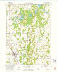 1974 Kewaskum1977 Print · USGSThe glacial landscapes of Washington and Sheboygan Counties are on full display in the mid-1970s, showcasing the intricate network of lakes and kettle formations. Researchers can trace rural life through the New Fane Millpond, early cemeteries like New Prospect Cem, and the Chicago and North Western rail corridor.
 - 1980 Map of Fond Du Lac
 1980 Fond Du Lac1980 Print · USGSThe Fox River Valley and Horicon Marsh meet here during the late twentieth century, showing a transition from lakeside industry to glacial conservation. Genealogists can locate family sites at Estabrook Cem or trace the rail lines through Ripon and Waupun.
 - 1999 Map of Kewaskum, 2001 Print
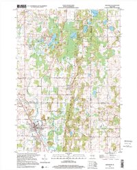 1999 Kewaskum2001 Print · USGSThe glacier-carved ridges of eastern Wisconsin are captured here at the close of the century, showing the intersection of three counties. Genealogists can locate family sites at New Prospect Cem, St Matthias Ch, or the historic New Fane Millpond.
 - 2010 Map of Kewaskum, 2010 Print
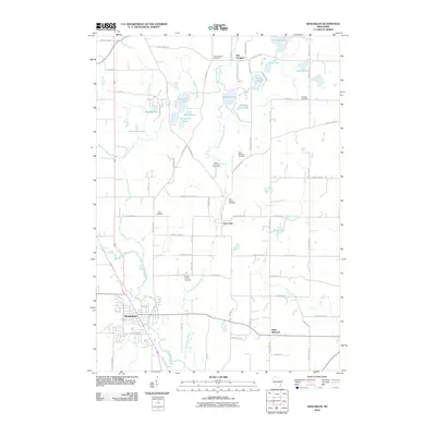 2010 Kewaskum2010 Print · USGSThe Kewaskum area and surrounding glacial lakes are shown here in the early twenty-first century. Genealogists can locate several rural burial grounds including Buffalo-Trinity Cemetery and Saint Johns Cemetery near New Fane.
 - 2013 Map of Kewaskum, 2013 Print
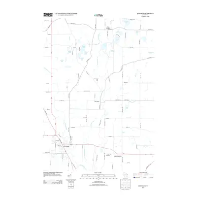 2013 Kewaskum2013 Print · USGSSoutheast Wisconsin's glaciated landscape is on full display in this early twenty-first-century survey of the area surrounding the village of Kewaskum. Researchers can trace the development of rural settlements like New Fane and Saint Michaels or locate family-named landmarks near Auburn Lake and Mauthe Lake.
 - 2015 Map of Kewaskum, 2015 Print
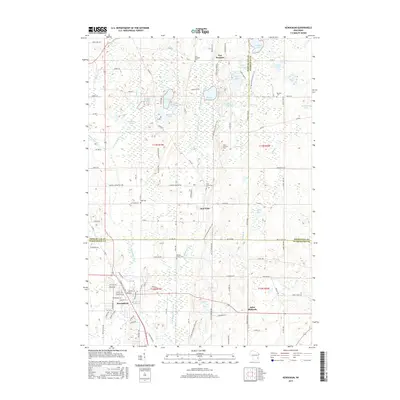 2015 Kewaskum2015 Print · USGSWisconsin's glacial landscape is on full display in this mid-2010s survey of the tri-county border area. Genealogists and local historians can trace the foundations of Kewaskum and New Fane, while locating numerous rural burial sites like Warden Cem and Gage Cem.
 - 2018 Map of Kewaskum, 2018 Print
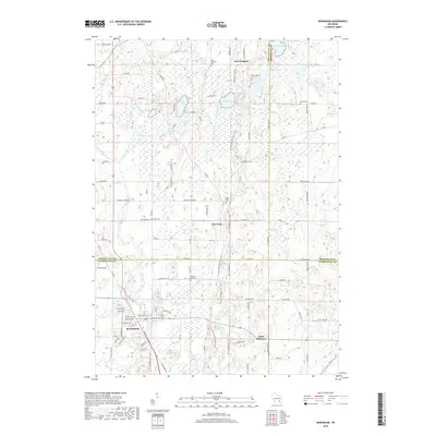 2018 Kewaskum2018 Print · USGSThe Kettle Moraine landscape comes alive in the late twenty-teens as the Milwaukee River winds through the glacial terrain of Kewaskum and New Fane. Local historians can trace family roots at Warden Cemetery or locate the community foundations of Saint Michaels and New Prospect.
 - 2022 Map of Kewaskum, 2022 Print
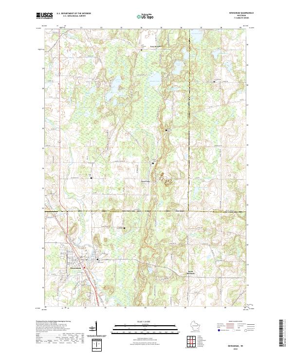 2022 Kewaskum2022 Print · USGSThe Kettle Moraine region in the early 2020s shows a complex landscape of glacial lakes and small river settlements. Researchers can trace family history through numerous rural burial sites like Saint Matthias Cem and Trinity Cem or explore the corridor of the Milwaukee River.
End of results
Showing maps 1-11 of 11
Top cities near Saint Michaels
- Fond du Lac historical maps
- West Bend historical maps
- Hartford historical maps
- Grafton historical maps
- Cedarburg historical maps
- Plymouth historical maps
See more
Frequently asked questions
- What are the different types of historical maps available for Saint Michaels?
- What is the oldest map of Saint Michaels?
- Where can I purchase historical maps of Saint Michaels for my home or office?
- Where can I download high-res historical maps of Saint Michaels?
- Are there historical topographic maps available for Saint Michaels?
- Is there historical aerial imagery available for Saint Michaels?
- Where are historical maps of Saint Michaels sourced from?