Old Maps of Caledonia, Wisconsin for Hiking & Exploration
Hike through history with 30 historic maps of Caledonia. Explore old trails, ghost towns, and forgotten backroads — perfect for outdoor adventurers and local explorers.
- Rediscover forgotten places: Map out old mining camps, roads, and footpaths that no longer exist on modern maps.
- Layer with modern tools: Combine with LiDAR or satellite views to plan hikes through historical terrain.
- Made for exploration: Popular among hikers, overlanders, and local history lovers.
Use these maps to find adventure and explore the hidden past of Caledonia.
Caledonia, WI maps
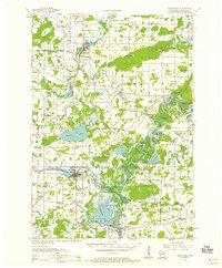
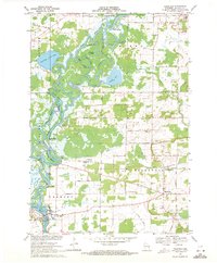
(30)- 1955 Map of Green Bay, 1968 Print
 1955 Green Bay1968 Print · USGSCentral and Eastern Wisconsin are captured here in the mid-fifties, showing the industrial growth of the Fox Valley and Wisconsin River corridors. Genealogists and historians can trace rail lines like the Green Bay and Western through settlements like Weyauwega, Clintonville, and Pulaski.2 unique versions available
 - 1956 Map of New London, 1958 Print
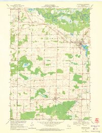
 1956 New London1958 Print · USGSWisconsin's Fox Valley region in the mid-fifties shows a landscape of river-town commerce and deep rural roots. Genealogists can trace family sites at Wanderers Rest Cem or locate the many country schools like Golden Hill Sch and Hickory Grove Sch.
 - 1956 Map of Weyauwega, 1958 Print
 1956 Weyauwega1958 Print · USGSCentral Waupaca County is mapped here in the mid-fifties, showing a landscape defined by the winding Wolf River and a thriving network of rural townships. Genealogists can trace family roots at St Patricks Cem, Baldwins Mill Sch, and the State Sanatorium.
 - 1961 Map of Poy Sippi, 1963 Print
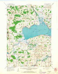 1961 Poy Sippi1963 Print · USGSThe Lake Poygan region of Wisconsin comes alive in this early 1960s survey, showing the intricate river-and-marsh economy before modern expansion. Researchers can trace family sites at Fountain Valley Sch & Ch, the Welsh Cem, or follow the banks of the Poy Sippi River through historic lakefront settlements like Tustin.2 unique versions available
 - 1961 Map of Oshkosh, 1963 Print
 1961 Oshkosh1963 Print · USGSThe Fox River Valley in the early sixties showcases the expansion of Oshkosh and its lakefront settlements. Genealogists and historians can trace family roots through local sites like Calvary Cem, St Peters Cem, and the Winnebago State Hospital grounds.2 unique versions available
 - 1961 Map of Lake Poygan, 1966 Print
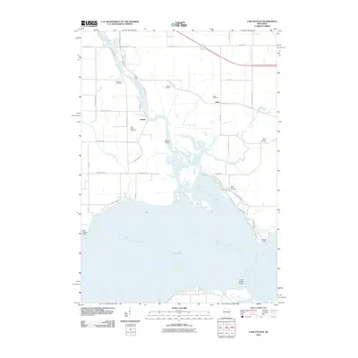
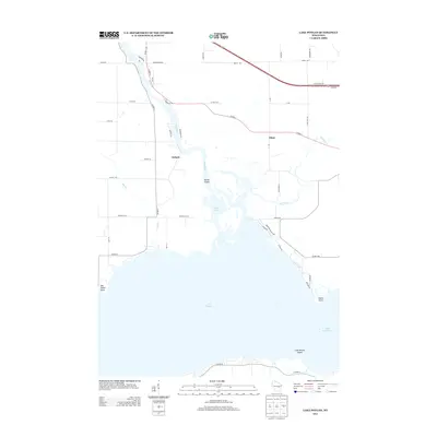
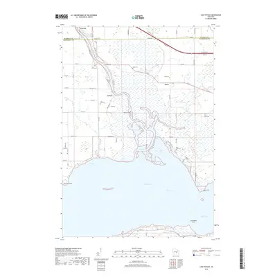
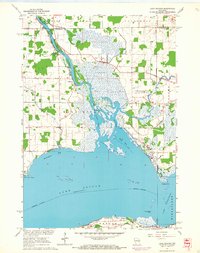 1961 Lake Poygan1966 Print · USGSWinnebago County river life is centered on the Wolf River delta during the early sixties. Genealogists can trace family roots through numerous country landmarks including St Pauls Cem, Becker Cem, and the village of Zittau.2 unique versions available
 - 1961 Map of Oshkosh NW, 1966 Print
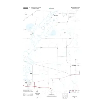
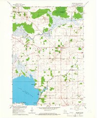 1961 Oshkosh NW1966 Print · USGSWinnebago County in the early sixties shows a landscape of river marshes and small farming hamlets centered around Winchester and Larsen. Genealogists and local historians can locate early family burials at Royer Cem and Bell Cem or trace the rural school districts at Mathison Sch.2 unique versions available
 - 1969 Map of Readfield, 1971 Print
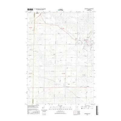
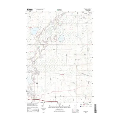
 1969 Readfield1971 Print · USGSWaupaca County in the late sixties shows a landscape shaped by the shifting currents of the Wolf River and the transit lines of the Soo Line. Genealogists and local historians can trace family locations near Readfield, Shaw Landing, and the Pioneer Cem.3 unique versions available
 - 1969 Map of Hortonville, 1971 Print
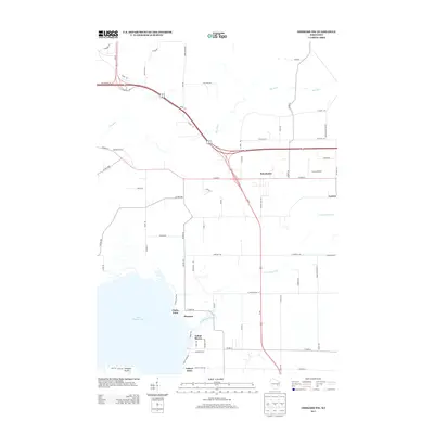
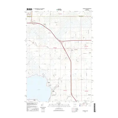
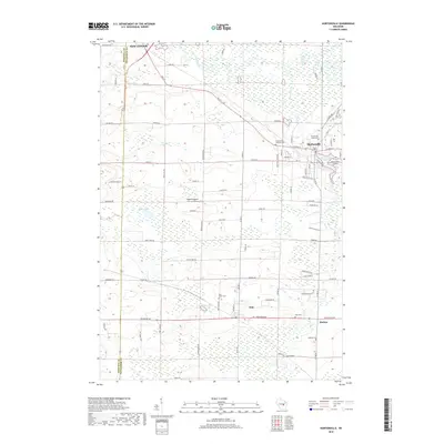
 1969 Hortonville1971 Print · USGSOutagamie County during the late sixties shows a landscape of steady agricultural life and vital rail connections. Researchers can locate family landmarks like SS Peter and Paul Cem and trace the paths of the Soo Line through Medina.2 unique versions available
 - 1984 Map of Appleton, 1985 Print
 1984 Appleton1985 Print · USGSThe Fox River Valley in the mid-eighties shows a bustling corridor of industry and nature, from the shores of Lake Winnebago to the Oneida Indian Reservation. Trace local heritage through landmarks like Riverside Cem or explore the wetlands of Poygan Marsh State Wildlife Area.2 unique versions available
 - 2010 Map of Hortonville, 2010 Print
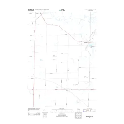
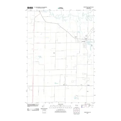 2010 Hortonville2010 Print · USGSCovers Caledonia, including New London, Dale, and other nearby areas
 - 2010 Map of Oshkosh NW, 2010 Print
 2010 Oshkosh NW2010 Print · USGSCovers Caledonia, including Dale, Winchester, and other nearby areas
 - 2010 Map of Lake Poygan, 2010 Print
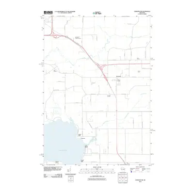
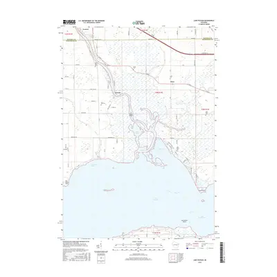
 2010 Lake Poygan2010 Print · USGSCovers Caledonia, including Winchester, Fremont, and other nearby areas
 - 2010 Map of Readfield, 2010 Print
 2010 Readfield2010 Print · USGSCovers Caledonia, including New London, Fremont, and other nearby areas
 - 2013 Map of Oshkosh NW, 2013 Print
 2013 Oshkosh NW2013 Print · USGSCovers Caledonia, including Dale, Winchester, and other nearby areas
 - 2013 Map of Lake Poygan, 2013 Print
 2013 Lake Poygan2013 Print · USGSCovers Caledonia, including Winchester, Fremont, and other nearby areas
 - 2013 Map of Readfield, 2013 Print
 2013 Readfield2013 Print · USGSCovers Caledonia, including New London, Fremont, and other nearby areas
 - 2013 Map of Hortonville, 2013 Print
 2013 Hortonville2013 Print · USGSCovers Caledonia, including New London, Dale, and other nearby areas
 - 2016 Map of Oshkosh NW, 2016 Print
 2016 Oshkosh NW2016 Print · USGSCovers Caledonia, including Dale, Winchester, and other nearby areas
 - 2016 Map of Lake Poygan, 2016 Print
 2016 Lake Poygan2016 Print · USGSCovers Caledonia, including Winchester, Fremont, and other nearby areas
 - 2016 Map of Hortonville, 2016 Print
 2016 Hortonville2016 Print · USGSCovers Caledonia, including New London, Dale, and other nearby areas
 - 2016 Map of Readfield, 2016 Print
 2016 Readfield2016 Print · USGSCovers Caledonia, including New London, Fremont, and other nearby areas
 - 2018 Map of Lake Poygan, 2018 Print
 2018 Lake Poygan2018 Print · USGSCovers Caledonia, including Winchester, Fremont, and other nearby areas
 - 2018 Map of Oshkosh NW, 2018 Print
 2018 Oshkosh NW2018 Print · USGSCovers Caledonia, including Dale, Winchester, and other nearby areas
 - 2018 Map of Hortonville, 2018 Print
 2018 Hortonville2018 Print · USGSCovers Caledonia, including New London, Dale, and other nearby areas
Showing maps 1-25 of 30
Top cities near Caledonia
- Oshkosh historical maps
- Greenville historical maps
- New London historical maps
- Waupaca historical maps
- Dale historical maps
- Hortonville historical maps
See more
Top neighborhoods of Caledonia
Frequently asked questions
- What are the different types of historical maps available for Caledonia?
- What is the oldest map of Caledonia?
- Where can I purchase historical maps of Caledonia for my home or office?
- Where can I download high-res historical maps of Caledonia?
- Are there historical topographic maps available for Caledonia?
- Is there historical aerial imagery available for Caledonia?
- Where are historical maps of Caledonia sourced from?