2000s (21st Century) Maps of Matteson, Wisconsin
Explore 4 historic maps of Matteson from the 2000s (21st Century). These maps offer a rare glimpse into what life looked like during the 2000s — showing old roads, neighborhoods, homes, and landmarks that have changed or disappeared over time.
Whether you're researching your family's past, planning a metal detecting trip, or studying how Matteson's landscape evolved across the 2000s, these high-resolution maps are a powerful tool for exploring the history of this region.
- Focus on a specific era: All maps on this page are from the 2000s, giving you a focused view of this time period.
- See what’s changed: Compare century-old streets, trails, and buildings to today's modern landscape using overlays and satellite layers.
- Research with precision: Use these maps for genealogy, historical research, land use analysis, or educational projects.
- View, download, or print: Maps are fully viewable online in high resolution, and can be downloaded or printed for your own records.
Start exploring Matteson's history through authentic maps from the 2000s. This is your window into the past.
Matteson, WI maps
(4)- 2022 Map of Leeman, 2022 Print
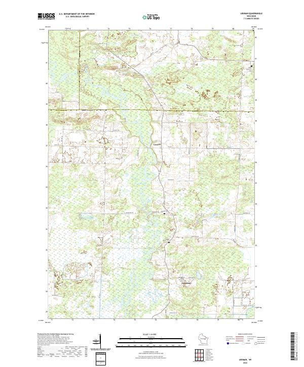 2022 Leeman2022 Print · USGSModern Outagamie County retains its rural character in the 2020s, dominated by the serpentine course of the Wolf River. Genealogists can locate several local landmarks including Oak Hill Cem, South Maine Cem, and the settlement of Leeman.
 - 2022 Map of Embarrass, 2022 Print
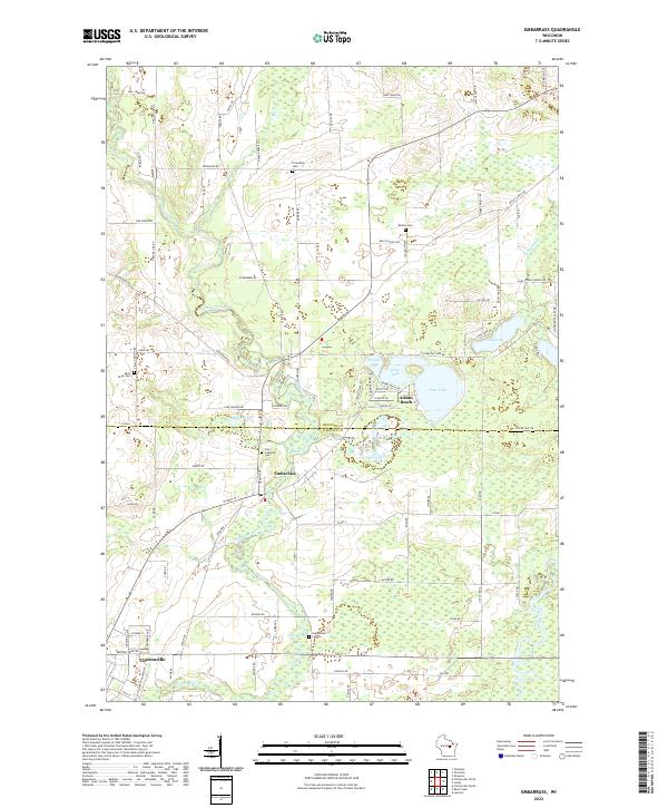 2022 Embarrass2022 Print · USGSThe border of Shawano and Waupaca Counties is defined here by the winding Embarrass River and the settlement of Embarrass. Genealogists and local historians can trace family roots through several local landmarks like Zion Lutheran Cem and Adams Beach.
 - 2022 Map of Bear Creek, 2022 Print
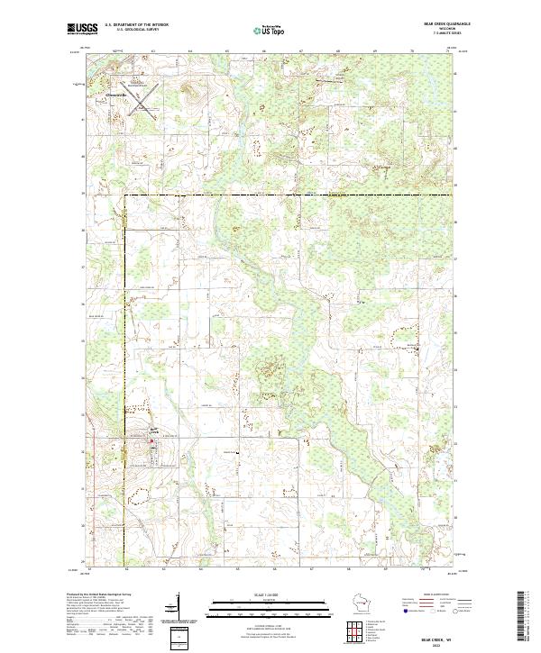 2022 Bear Creek2022 Print · USGSThe Waupaca and Outagamie county line comes alive in this contemporary survey, showing the rural communities along the Embarrass River. Genealogists and researchers can locate the Danish Cem, Restland Cem, and the streets of Bear Creek as they appear today.
 - 2022 Map of Lunds, 2022 Print
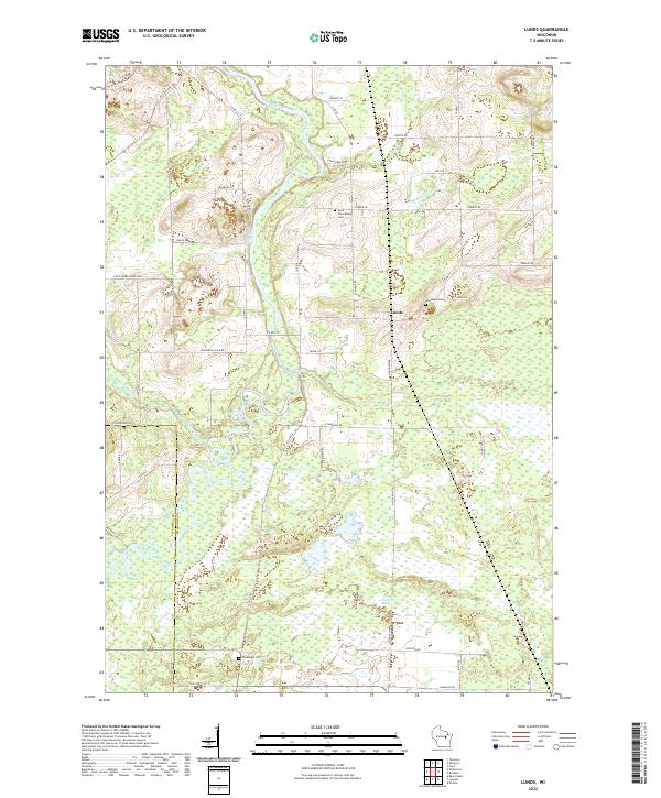 2022 Lunds2022 Print · USGSThe Wolf River meanders through Shawano and Waupaca counties in the early twenty-first century, shaping a landscape of low wetlands and rural settlements. Researchers can trace family sites at Saint Wenceslaus Cem, Jerusalem Cem, and the crossroads of Lunds.
End of results
Showing maps 1-4 of 4
Top cities near Matteson
- Shawano historical maps
- New London historical maps
- Clintonville historical maps
- Belle Plaine historical maps
- Bonduel historical maps
- Black Creek historical maps
See more
Frequently asked questions
- What are the different types of historical maps available for Matteson?
- What is the oldest map of Matteson?
- Where can I purchase historical maps of Matteson for my home or office?
- Where can I download high-res historical maps of Matteson?
- Are there historical topographic maps available for Matteson?
- Is there historical aerial imagery available for Matteson?
- Where are historical maps of Matteson sourced from?