Old Maps of Leonards Point, Algoma for Metal Detecting
Plan your next treasure hunt with 10 historic maps of Leonards Point. Find old homesites, ghost towns, trails, and gathering spots that may be lost to time — perfect for identifying promising metal detecting locations.
- Locate forgotten sites: Uncover places like long-lost settlements, abandoned rail lines, or gathering spots.
- Plan better hunts: Use map overlays combined with LiDAR or satellite views to narrow in on historically rich areas.
- Made for detectorists: Thousands of hobbyists use these maps to discover relics, coins, and hidden history.
Use these historic maps to boost your research and find new opportunities beneath the surface of Leonards Point.
Leonards Point, Algoma maps
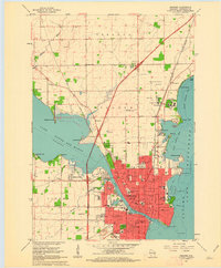
(10)- 1955 Map of Green Bay, 1968 Print
 1955 Green Bay1968 Print · USGSCentral and Eastern Wisconsin are captured here in the mid-fifties, showing the industrial growth of the Fox Valley and Wisconsin River corridors. Genealogists and historians can trace rail lines like the Green Bay and Western through settlements like Weyauwega, Clintonville, and Pulaski.2 unique versions available
 - 1961 Map of Oshkosh, 1962 Print
 1961 Oshkosh1962 Print · USGSOshkosh and the Fox River waterfront are captured in detail during the early sixties, showing the city's transition from a rail-heavy industrial hub to a regional educational center. Genealogists can locate family sites near Riverside Cemetery, Wisconsin State College, or the Sunny View Sanatorium.2 unique versions available
 - 1961 Map of Oshkosh, 1963 Print
 1961 Oshkosh1963 Print · USGSThe Fox River Valley in the early sixties showcases the expansion of Oshkosh and its lakefront settlements. Genealogists and historians can trace family roots through local sites like Calvary Cem, St Peters Cem, and the Winnebago State Hospital grounds.2 unique versions available
 - 1984 Map of Appleton, 1985 Print
 1984 Appleton1985 Print · USGSThe Fox River Valley in the mid-eighties shows a bustling corridor of industry and nature, from the shores of Lake Winnebago to the Oneida Indian Reservation. Trace local heritage through landmarks like Riverside Cem or explore the wetlands of Poygan Marsh State Wildlife Area.2 unique versions available
 - 1992 Map of Oshkosh, 1996 Print
 1992 Oshkosh1996 Print · USGSThe Fox River waterfront and the urban core of Oshkosh are shown here in the 1990s. Researchers can trace the grounds of the Winnebago State Hospital, the University of Wisconsin Oshkosh, and the Soo Line rail corridor.
 - 2010 Map of Oshkosh, 2010 Print
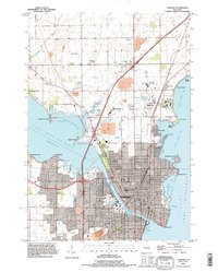
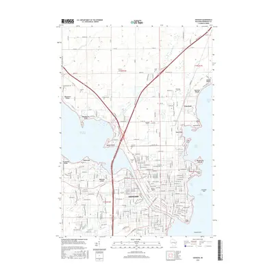
 2010 Oshkosh2010 Print · USGSCovers Leonards Point, including Oshkosh, Keenville, and other nearby areas
 - 2013 Map of Oshkosh, 2013 Print
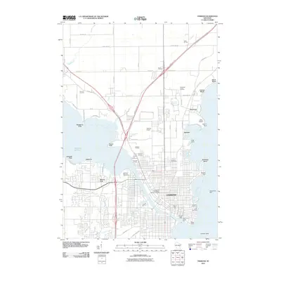
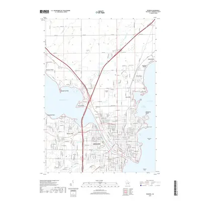
 2013 Oshkosh2013 Print · USGSCovers Leonards Point, including Oshkosh, Keenville, and other nearby areas
 - 2016 Map of Oshkosh, 2016 Print
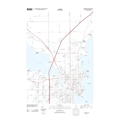
 2016 Oshkosh2016 Print · USGSCovers Leonards Point, including Oshkosh, Keenville, and other nearby areas
 - 2018 Map of Oshkosh, 2018 Print
 2018 Oshkosh2018 Print · USGSCovers Leonards Point, including Oshkosh, Keenville, and other nearby areas
 - 2022 Map of Oshkosh, 2022 Print
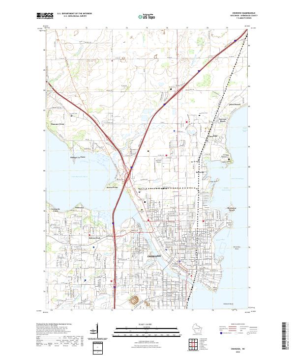 2022 Oshkosh2022 Print · USGSOshkosh and its neighboring Lake Winnebago shorelines are captured in the 2020s, showcasing the area's modern university and institutional layout. Researchers can trace local landmarks like Riverside Cem, the Winnebago County Courthouse, and the expansive University of Wisconsin-Oshkosh campus.
End of results
Showing maps 1-10 of 10
Top cities near Leonards Point
- Appleton historical maps
- Oshkosh historical maps
- Neenah historical maps
- Grand Chute historical maps
- Fox Crossing historical maps
- Menasha historical maps
See more
Frequently asked questions
- What are the different types of historical maps available for Leonards Point?
- What is the oldest map of Leonards Point?
- Where can I purchase historical maps of Leonards Point for my home or office?
- Where can I download high-res historical maps of Leonards Point?
- Are there historical topographic maps available for Leonards Point?
- Is there historical aerial imagery available for Leonards Point?
- Where are historical maps of Leonards Point sourced from?