Old Maps of Omro, Wisconsin for Genealogy
Trace your family roots with 16 historic maps of Omro. These high-res maps reveal old neighborhoods, homesites, landmarks, and streets — helping you uncover where your ancestors lived and how the area evolved over time.
- Explore historic neighborhoods: Identify where your relatives may have lived in the 1800s or 1900s.
- Compare maps over time: Trace the changes in streets, buildings, and landmarks for multi-generational research.
- Perfect for genealogy & ancestry research: Used by family historians and researchers to map out lineage and migration.
These maps are an incredible resource for exploring your personal connection to Omro's past.
Omro, WI maps
(16)- 1955 Map of Green Bay, 1968 Print
 1955 Green Bay1968 Print · USGSCentral and Eastern Wisconsin are captured here in the mid-fifties, showing the industrial growth of the Fox Valley and Wisconsin River corridors. Genealogists and historians can trace rail lines like the Green Bay and Western through settlements like Weyauwega, Clintonville, and Pulaski.2 unique versions available
 - 1961 Map of Poy Sippi, 1963 Print
 1961 Poy Sippi1963 Print · USGSThe Lake Poygan region of Wisconsin comes alive in this early 1960s survey, showing the intricate river-and-marsh economy before modern expansion. Researchers can trace family sites at Fountain Valley Sch & Ch, the Welsh Cem, or follow the banks of the Poy Sippi River through historic lakefront settlements like Tustin.2 unique versions available
 - 1961 Map of Oshkosh, 1963 Print
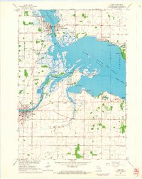
 1961 Oshkosh1963 Print · USGSThe Fox River Valley in the early sixties showcases the expansion of Oshkosh and its lakefront settlements. Genealogists and historians can trace family roots through local sites like Calvary Cem, St Peters Cem, and the Winnebago State Hospital grounds.2 unique versions available
 - 1961 Map of Eureka, 1966 Print
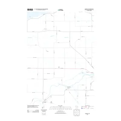
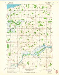 1961 Eureka1966 Print · USGSWinnebago County townships like Poygan and Rushford are captured in the early sixties as a network of river-side farms and rural schools. Researchers can trace family roots through several local landmarks like Oak Hill Cem and Liberty Sch.2 unique versions available
 - 1961 Map of Omro, 1966 Print
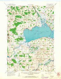
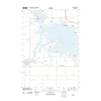
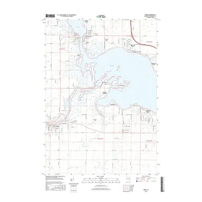
 1961 Omro1966 Print · USGSThe confluence of the Wolf and Fox Rivers defines this corner of Wisconsin in the early sixties. Genealogists and historians can trace lakeside settlements like Rivermoor or find rural landmarks such as Pingry Sch and the Omro Union Cem.2 unique versions available
 - 1984 Map of Appleton, 1985 Print
 1984 Appleton1985 Print · USGSThe Fox River Valley in the mid-eighties shows a bustling corridor of industry and nature, from the shores of Lake Winnebago to the Oneida Indian Reservation. Trace local heritage through landmarks like Riverside Cem or explore the wetlands of Poygan Marsh State Wildlife Area.2 unique versions available
 - 2010 Map of Eureka, 2010 Print
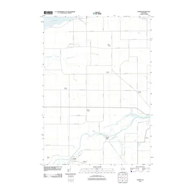 2010 Eureka2010 Print · USGSCovers Omro, including Poygan, Eureka, and other nearby areas
 - 2011 Map of Omro, 2011 Print
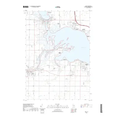
 2011 Omro2011 Print · USGSCovers Omro, including Winneconne, Reighmoor, and other nearby areas
 - 2013 Map of Eureka, 2013 Print
 2013 Eureka2013 Print · USGSCovers Omro, including Poygan, Eureka, and other nearby areas
 - 2013 Map of Omro, 2013 Print
 2013 Omro2013 Print · USGSCovers Omro, including Winneconne, Reighmoor, and other nearby areas
 - 2016 Map of Eureka, 2016 Print
 2016 Eureka2016 Print · USGSCovers Omro, including Poygan, Eureka, and other nearby areas
 - 2016 Map of Omro, 2016 Print
 2016 Omro2016 Print · USGSCovers Omro, including Winneconne, Reighmoor, and other nearby areas
 - 2018 Map of Omro, 2018 Print
 2018 Omro2018 Print · USGSCovers Omro, including Winneconne, Reighmoor, and other nearby areas
 - 2018 Map of Eureka, 2018 Print
 2018 Eureka2018 Print · USGSCovers Omro, including Poygan, Eureka, and other nearby areas
 - 2022 Map of Omro, 2022 Print
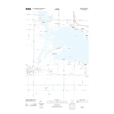
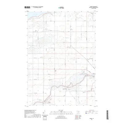
 2022 Omro2022 Print · USGSThe river-linked communities of Winnebago County are captured here in the early 2020s as they surround the expansive waters of Lake Butte des Morts. Genealogists and local researchers can locate established sites like Omro Junction Cem, the Courtney Plummer Airport, and the historic waterfronts of Winneconne and Butte des Morts.
 - 2022 Map of Eureka, 2022 Print
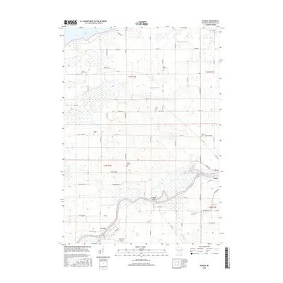
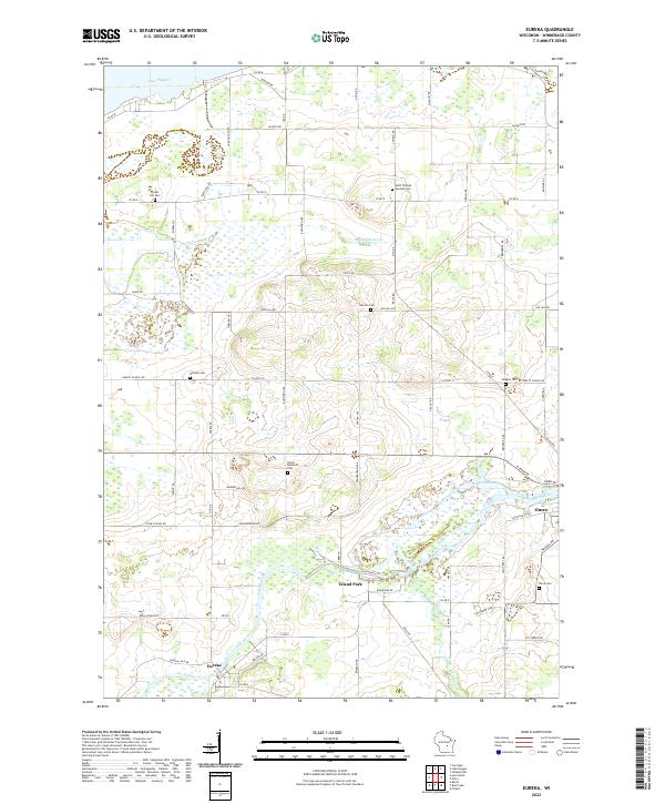 2022 Eureka2022 Print · USGSWinnebago County in the early twenty-first century remains defined by the winding Fox River and its historic riverfront towns. Genealogists and local historians can trace family plots at Forest Hill Cem or locate the old foundations along Stone School Rd.
End of results
Showing maps 1-16 of 16
Top cities near Omro
- Oshkosh historical maps
- Neenah historical maps
- Fox Crossing historical maps
- Greenville historical maps
- Ripon historical maps
- City of Berlin historical maps
See more
Frequently asked questions
- What are the different types of historical maps available for Omro?
- What is the oldest map of Omro?
- Where can I purchase historical maps of Omro for my home or office?
- Where can I download high-res historical maps of Omro?
- Are there historical topographic maps available for Omro?
- Is there historical aerial imagery available for Omro?
- Where are historical maps of Omro sourced from?