2000s (21st Century) Maps of Omro, Wisconsin
Explore 20 historic maps of Omro from the 2000s (21st Century). These maps offer a rare glimpse into what life looked like during the 2000s — showing old roads, neighborhoods, homes, and landmarks that have changed or disappeared over time.
Whether you're researching your family's past, planning a metal detecting trip, or studying how Omro's landscape evolved across the 2000s, these high-resolution maps are a powerful tool for exploring the history of this region.
- Focus on a specific era: All maps on this page are from the 2000s, giving you a focused view of this time period.
- See what’s changed: Compare century-old streets, trails, and buildings to today's modern landscape using overlays and satellite layers.
- Research with precision: Use these maps for genealogy, historical research, land use analysis, or educational projects.
- View, download, or print: Maps are fully viewable online in high resolution, and can be downloaded or printed for your own records.
Start exploring Omro's history through authentic maps from the 2000s. This is your window into the past.
Omro, WI maps
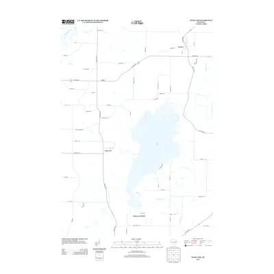
(20)- 2010 Map of Rush Lake, 2010 Print
 2010 Rush Lake2010 Print · USGSCovers Omro, including Utica, Koro, and other nearby areas
 - 2010 Map of Pickett, 2010 Print
 2010 Pickett2010 Print · USGSCovers Omro, including Nekimi, Zion, and other nearby areas
 - 2010 Map of Eureka, 2010 Print
 2010 Eureka2010 Print · USGSCovers Omro, including Poygan, Eureka, and other nearby areas
 - 2011 Map of Omro, 2011 Print
 2011 Omro2011 Print · USGSCovers Omro, including Winneconne, Reighmoor, and other nearby areas
 - 2013 Map of Rush Lake, 2013 Print
 2013 Rush Lake2013 Print · USGSCovers Omro, including Utica, Koro, and other nearby areas
 - 2013 Map of Pickett, 2013 Print
 2013 Pickett2013 Print · USGSCovers Omro, including Nekimi, Zion, and other nearby areas
 - 2013 Map of Eureka, 2013 Print
 2013 Eureka2013 Print · USGSCovers Omro, including Poygan, Eureka, and other nearby areas
 - 2013 Map of Omro, 2013 Print
 2013 Omro2013 Print · USGSCovers Omro, including Winneconne, Reighmoor, and other nearby areas
 - 2015 Map of Pickett, 2015 Print
 2015 Pickett2015 Print · USGSCovers Omro, including Nekimi, Zion, and other nearby areas
 - 2015 Map of Rush Lake, 2015 Print
 2015 Rush Lake2015 Print · USGSCovers Omro, including Utica, Koro, and other nearby areas
 - 2016 Map of Eureka, 2016 Print
 2016 Eureka2016 Print · USGSCovers Omro, including Poygan, Eureka, and other nearby areas
 - 2016 Map of Omro, 2016 Print
 2016 Omro2016 Print · USGSCovers Omro, including Winneconne, Reighmoor, and other nearby areas
 - 2018 Map of Pickett, 2018 Print
 2018 Pickett2018 Print · USGSCovers Omro, including Nekimi, Zion, and other nearby areas
 - 2018 Map of Omro, 2018 Print
 2018 Omro2018 Print · USGSCovers Omro, including Winneconne, Reighmoor, and other nearby areas
 - 2018 Map of Eureka, 2018 Print
 2018 Eureka2018 Print · USGSCovers Omro, including Poygan, Eureka, and other nearby areas
 - 2018 Map of Rush Lake, 2018 Print
 2018 Rush Lake2018 Print · USGSCovers Omro, including Utica, Koro, and other nearby areas
 - 2022 Map of Pickett, 2022 Print
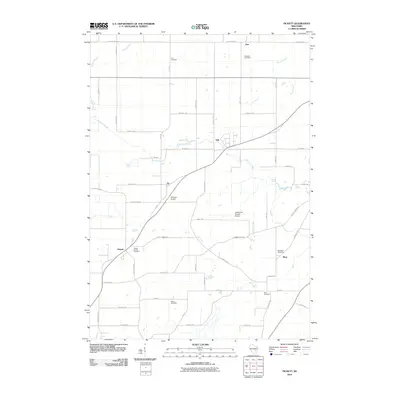
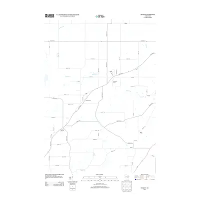
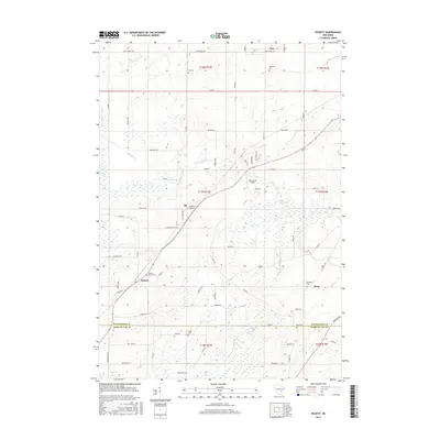
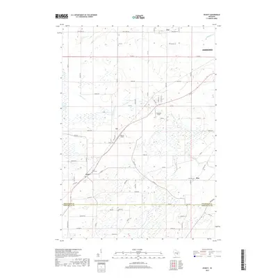
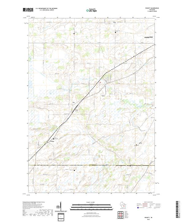 2022 Pickett2022 Print · USGSWinnebago and Fond du Lac counties appear here in the early twenty-first century, showing a landscape of crossroads hamlets and family cemeteries. Genealogists can trace local roots at Bethesda Cem, Peace Cem, and the settlement of Pickett.
 - 2022 Map of Rush Lake, 2022 Print
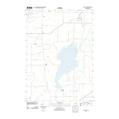
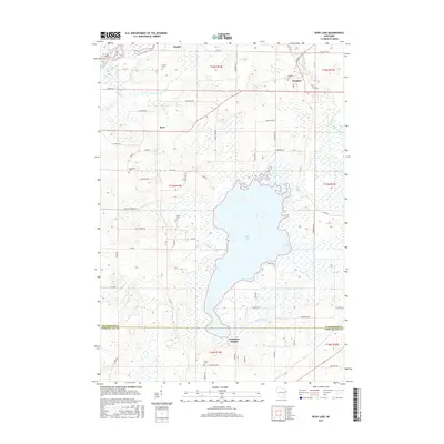
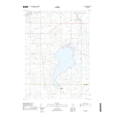
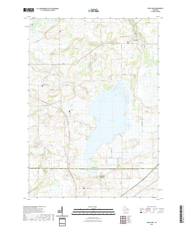 2022 Rush Lake2022 Print · USGSRush Lake and the surrounding dairy country of Winnebago County are documented in the early 2020s. Researchers can locate family heritage sites at Waukau Cem or Loper Cem and trace the path of the Mascoutin Valley State Trl through Koro.
 - 2022 Map of Omro, 2022 Print
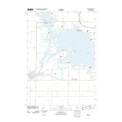
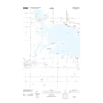
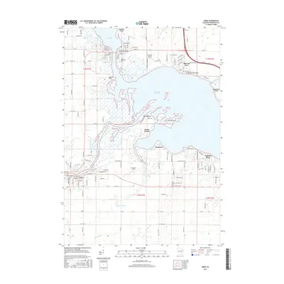
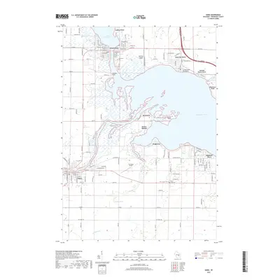
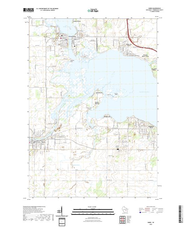 2022 Omro2022 Print · USGSThe river-linked communities of Winnebago County are captured here in the early 2020s as they surround the expansive waters of Lake Butte des Morts. Genealogists and local researchers can locate established sites like Omro Junction Cem, the Courtney Plummer Airport, and the historic waterfronts of Winneconne and Butte des Morts.
 - 2022 Map of Eureka, 2022 Print
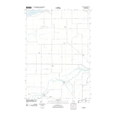
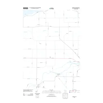
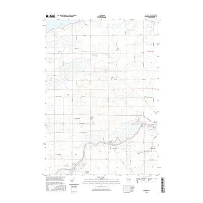
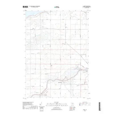
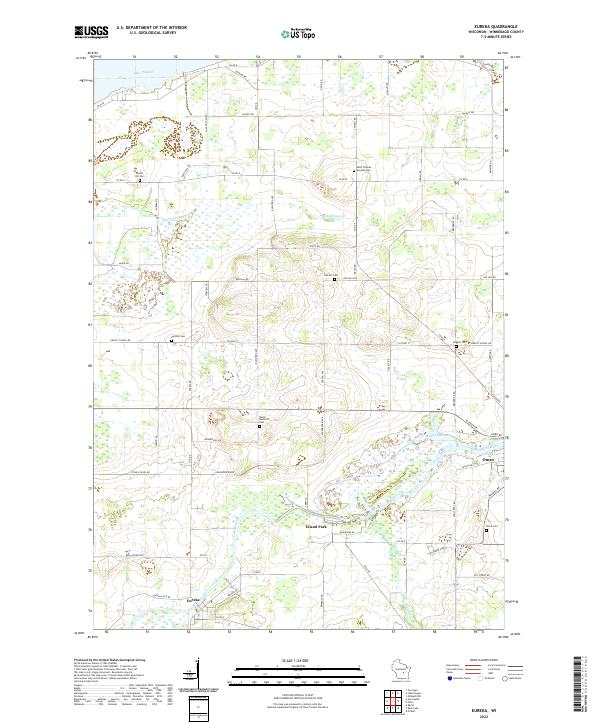 2022 Eureka2022 Print · USGSWinnebago County in the early twenty-first century remains defined by the winding Fox River and its historic riverfront towns. Genealogists and local historians can trace family plots at Forest Hill Cem or locate the old foundations along Stone School Rd.
End of results
Showing maps 1-20 of 20
Top cities near Omro
- Oshkosh historical maps
- Fond du Lac historical maps
- Neenah historical maps
- Grand Chute historical maps
- Fox Crossing historical maps
- Greenville historical maps
See more
Top neighborhoods of Omro
Frequently asked questions
- What are the different types of historical maps available for Omro?
- What is the oldest map of Omro?
- Where can I purchase historical maps of Omro for my home or office?
- Where can I download high-res historical maps of Omro?
- Are there historical topographic maps available for Omro?
- Is there historical aerial imagery available for Omro?
- Where are historical maps of Omro sourced from?