2000s (21st Century) Maps of Poygan, Wisconsin
Explore 20 historic maps of Poygan from the 2000s (21st Century). These maps offer a rare glimpse into what life looked like during the 2000s — showing old roads, neighborhoods, homes, and landmarks that have changed or disappeared over time.
Whether you're researching your family's past, planning a metal detecting trip, or studying how Poygan's landscape evolved across the 2000s, these high-resolution maps are a powerful tool for exploring the history of this region.
- Focus on a specific era: All maps on this page are from the 2000s, giving you a focused view of this time period.
- See what’s changed: Compare century-old streets, trails, and buildings to today's modern landscape using overlays and satellite layers.
- Research with precision: Use these maps for genealogy, historical research, land use analysis, or educational projects.
- View, download, or print: Maps are fully viewable online in high resolution, and can be downloaded or printed for your own records.
Start exploring Poygan's history through authentic maps from the 2000s. This is your window into the past.
Poygan, WI maps
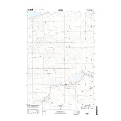
(20)- 2010 Map of Poy Sippi, 2010 Print
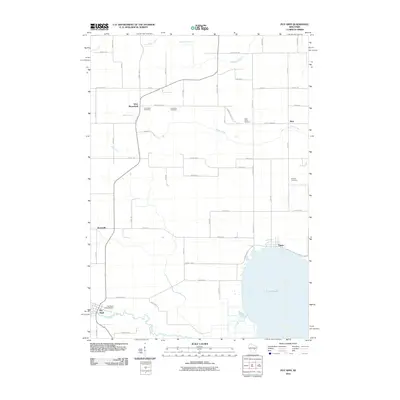 2010 Poy Sippi2010 Print · USGSCovers Poygan, including Fremont, Poy Sippi, and other nearby areas
 - 2010 Map of Auroraville, 2010 Print
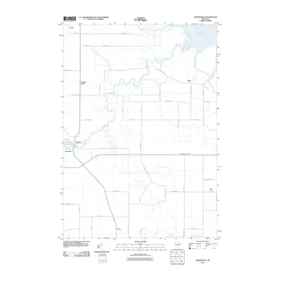 2010 Auroraville2010 Print · USGSCovers Poygan, including Poy Sippi, Auroraville, and other nearby areas
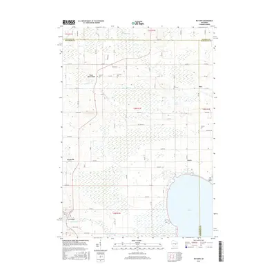
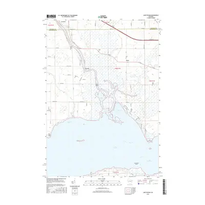
 - 2010 Map of Lake Poygan, 2010 Print
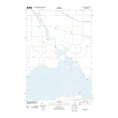 2010 Lake Poygan2010 Print · USGSCovers Poygan, including Winchester, Fremont, and other nearby areas
 - 2010 Map of Eureka, 2010 Print
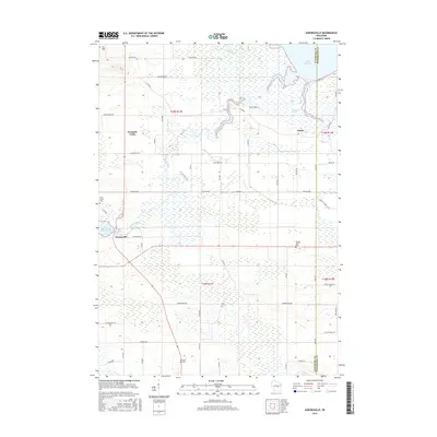
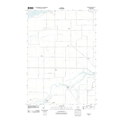 2010 Eureka2010 Print · USGSCovers Poygan, including Omro, Eureka, and other nearby areas
 - 2013 Map of Poy Sippi, 2013 Print
 2013 Poy Sippi2013 Print · USGSCovers Poygan, including Fremont, Poy Sippi, and other nearby areas
 - 2013 Map of Lake Poygan, 2013 Print
 2013 Lake Poygan2013 Print · USGSCovers Poygan, including Winchester, Fremont, and other nearby areas
 - 2013 Map of Auroraville, 2013 Print
 2013 Auroraville2013 Print · USGSCovers Poygan, including Poy Sippi, Auroraville, and other nearby areas
 - 2013 Map of Eureka, 2013 Print
 2013 Eureka2013 Print · USGSCovers Poygan, including Omro, Eureka, and other nearby areas
 - 2016 Map of Eureka, 2016 Print
 2016 Eureka2016 Print · USGSCovers Poygan, including Omro, Eureka, and other nearby areas
 - 2016 Map of Poy Sippi, 2016 Print
 2016 Poy Sippi2016 Print · USGSCovers Poygan, including Fremont, Poy Sippi, and other nearby areas
 - 2016 Map of Lake Poygan, 2016 Print
 2016 Lake Poygan2016 Print · USGSCovers Poygan, including Winchester, Fremont, and other nearby areas
 - 2016 Map of Auroraville, 2016 Print
 2016 Auroraville2016 Print · USGSCovers Poygan, including Poy Sippi, Auroraville, and other nearby areas
 - 2018 Map of Lake Poygan, 2018 Print
 2018 Lake Poygan2018 Print · USGSCovers Poygan, including Winchester, Fremont, and other nearby areas
 - 2018 Map of Poy Sippi, 2018 Print
 2018 Poy Sippi2018 Print · USGSCovers Poygan, including Fremont, Poy Sippi, and other nearby areas
 - 2018 Map of Eureka, 2018 Print
 2018 Eureka2018 Print · USGSCovers Poygan, including Omro, Eureka, and other nearby areas
 - 2018 Map of Auroraville, 2018 Print
 2018 Auroraville2018 Print · USGSCovers Poygan, including Poy Sippi, Auroraville, and other nearby areas
 - 2022 Map of Poy Sippi, 2022 Print
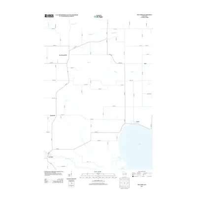
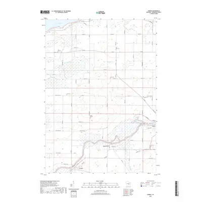
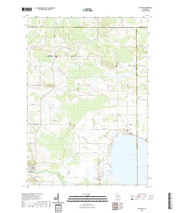 2022 Poy Sippi2022 Print · USGSPoy Sippi and the northern shores of Lake Poygan appear here in a landscape of small hamlets and winding waterways. Genealogists can trace family sites at Old German Lutheran Cem and Prellwitz Cem or explore the old settlements of Metz and Tustin.
 - 2022 Map of Lake Poygan, 2022 Print
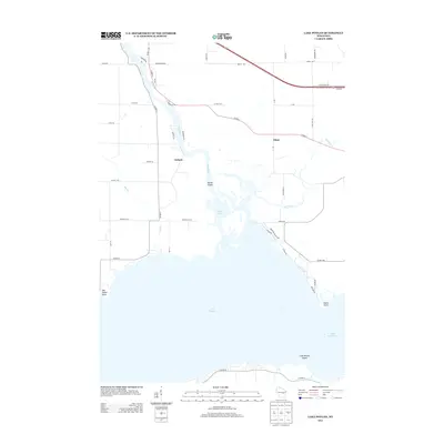
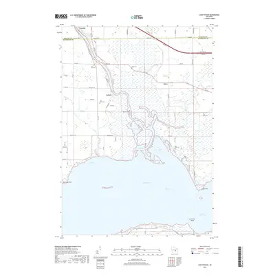
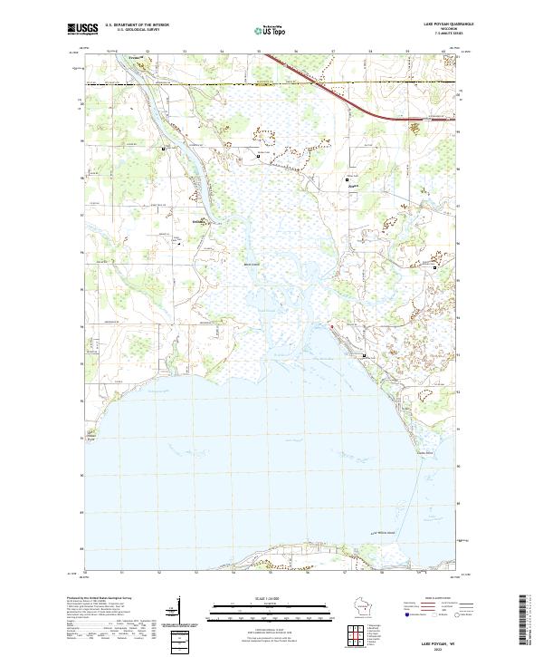 2022 Lake Poygan2022 Print · USGSWisconsin's western Lake Poygan shoreline comes into focus in the early 2020s, showing a landscape defined by the Wolf River and its expansive marshlands. Researchers can locate local landmarks like Old Indian Point, Orihula, and several family-linked sites such as Zittau Cem.
 - 2022 Map of Eureka, 2022 Print
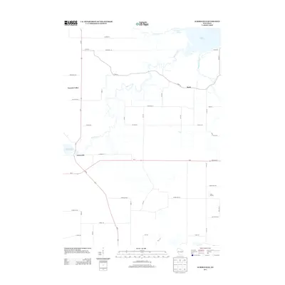
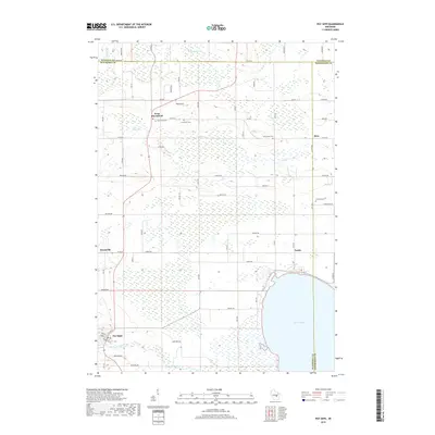
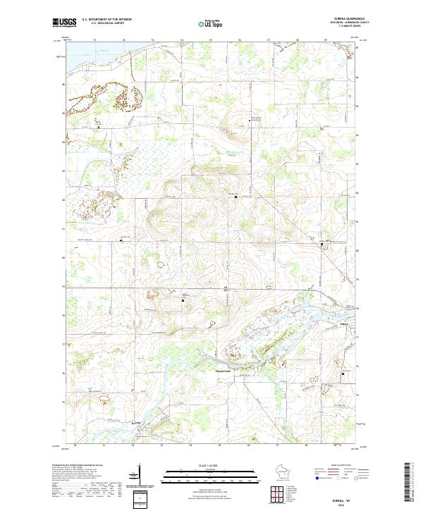 2022 Eureka2022 Print · USGSWinnebago County in the early twenty-first century remains defined by the winding Fox River and its historic riverfront towns. Genealogists and local historians can trace family plots at Forest Hill Cem or locate the old foundations along Stone School Rd.
 - 2022 Map of Auroraville, 2022 Print
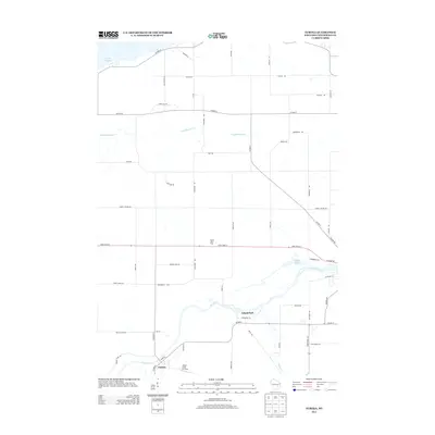
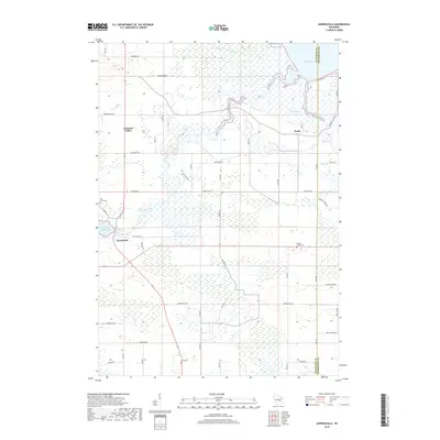
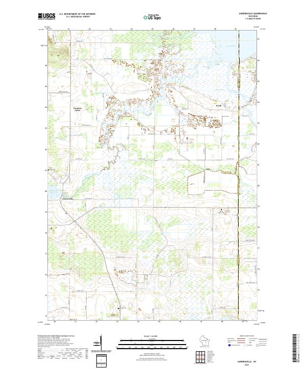 2022 Auroraville2022 Print · USGSEastern Waushara County in the early twenty-first century remains a landscape of intricate waterways and rural hamlets. Genealogists can locate family sites near Welsh Cem or Shead Island Cem, and trace the flow of the Auroraville Millpond.
End of results
Showing maps 1-20 of 20
Top cities near Poygan
- Oshkosh historical maps
- Greenville historical maps
- Waupaca historical maps
- City of Berlin historical maps
- Berlin historical maps
- Omro historical maps
See more
Frequently asked questions
- What are the different types of historical maps available for Poygan?
- What is the oldest map of Poygan?
- Where can I purchase historical maps of Poygan for my home or office?
- Where can I download high-res historical maps of Poygan?
- Are there historical topographic maps available for Poygan?
- Is there historical aerial imagery available for Poygan?
- Where are historical maps of Poygan sourced from?