Old Maps of Poygan, Wisconsin for Academic Research
Study the evolution of Poygan with 27 high-resolution historic maps. Whether you're teaching, researching, or modeling changes in land use, these maps provide essential visual documentation of urban, environmental, and geographic change.
- Analyze long-term change: Track patterns in development, transportation, and natural features.
- Ideal for environmental or urban studies: Support academic projects with primary historical map data.
- Use in the classroom or lab: Educators and researchers rely on these maps to bring historical context to life.
These maps are a powerful tool for teaching, research, and visualizing how Poygan has changed over the decades.
Poygan, WI maps
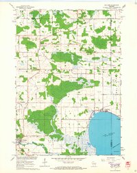
(27)- 1955 Map of Green Bay, 1968 Print
 1955 Green Bay1968 Print · USGSCentral and Eastern Wisconsin are captured here in the mid-fifties, showing the industrial growth of the Fox Valley and Wisconsin River corridors. Genealogists and historians can trace rail lines like the Green Bay and Western through settlements like Weyauwega, Clintonville, and Pulaski.2 unique versions available
 - 1961 Map of Poy Sippi, 1963 Print
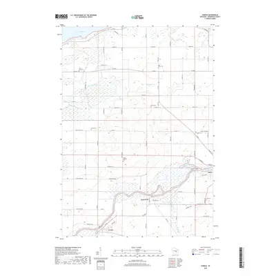
 1961 Poy Sippi1963 Print · USGSThe Lake Poygan region of Wisconsin comes alive in this early 1960s survey, showing the intricate river-and-marsh economy before modern expansion. Researchers can trace family sites at Fountain Valley Sch & Ch, the Welsh Cem, or follow the banks of the Poy Sippi River through historic lakefront settlements like Tustin.2 unique versions available
 - 1961 Map of Lake Poygan, 1966 Print
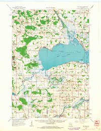
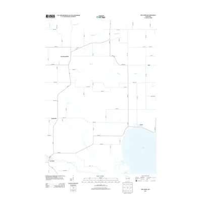
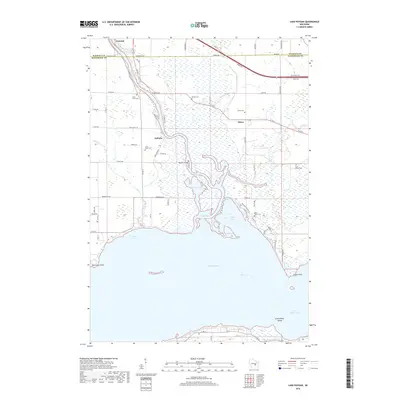
 1961 Lake Poygan1966 Print · USGSWinnebago County river life is centered on the Wolf River delta during the early sixties. Genealogists can trace family roots through numerous country landmarks including St Pauls Cem, Becker Cem, and the village of Zittau.2 unique versions available
 - 1961 Map of Auroraville, 1966 Print
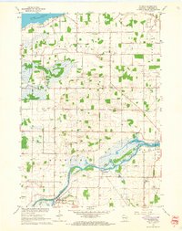
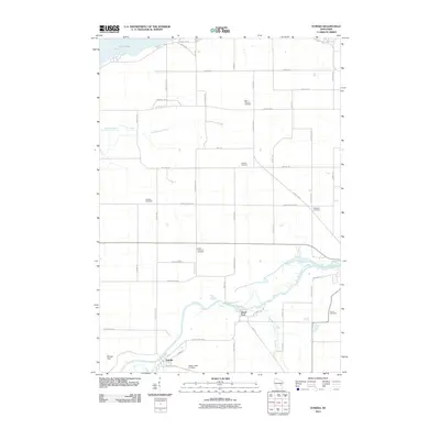
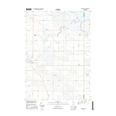
 1961 Auroraville1966 Print · USGSWisconsin's wetlands and rural townships are captured here in the early sixties as the landscape transitioned between traditional farming and specialized bog cultivation. Trace family roots at the Welsh Cem or locate old community hubs like Fountain Valley and Auroraville.2 unique versions available
 - 1961 Map of Eureka, 1966 Print
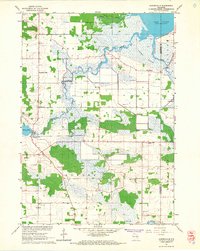
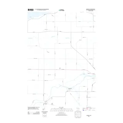
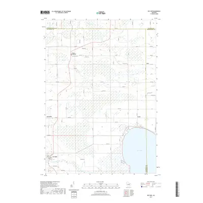
 1961 Eureka1966 Print · USGSWinnebago County townships like Poygan and Rushford are captured in the early sixties as a network of river-side farms and rural schools. Researchers can trace family roots through several local landmarks like Oak Hill Cem and Liberty Sch.2 unique versions available
 - 1961 Map of Poy Sippi, 1968 Print
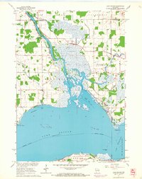
 1961 Poy Sippi1968 Print · USGSThe marshlands and crossroads of Waushara County are captured here in the early 1960s as they meet the shores of Lake Poygan. Researchers can locate historic rural centers like Poy Sippi and Tustin, alongside parish sites like Emmaus Ch and St Johns Sch.2 unique versions available
 - 1984 Map of Appleton, 1985 Print
 1984 Appleton1985 Print · USGSThe Fox River Valley in the mid-eighties shows a bustling corridor of industry and nature, from the shores of Lake Winnebago to the Oneida Indian Reservation. Trace local heritage through landmarks like Riverside Cem or explore the wetlands of Poygan Marsh State Wildlife Area.2 unique versions available
 - 2010 Map of Poy Sippi, 2010 Print
 2010 Poy Sippi2010 Print · USGSCovers Poygan, including Fremont, Poy Sippi, and other nearby areas
 - 2010 Map of Auroraville, 2010 Print
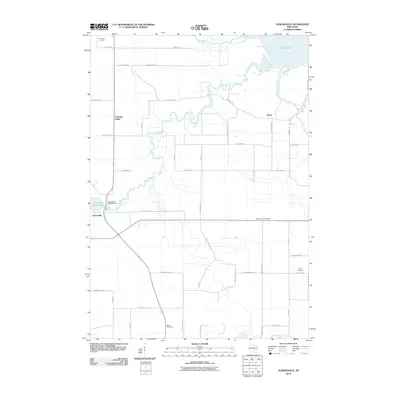 2010 Auroraville2010 Print · USGSCovers Poygan, including Poy Sippi, Auroraville, and other nearby areas
 - 2010 Map of Lake Poygan, 2010 Print
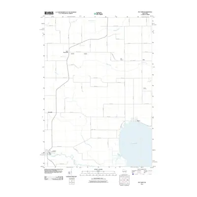
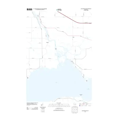
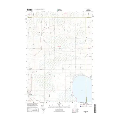
 2010 Lake Poygan2010 Print · USGSCovers Poygan, including Winchester, Fremont, and other nearby areas
 - 2010 Map of Eureka, 2010 Print
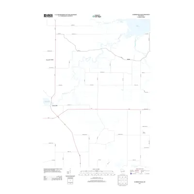
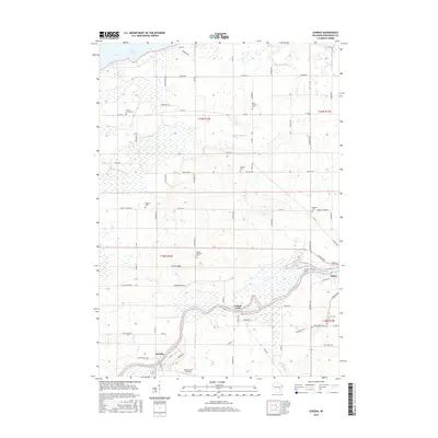
 2010 Eureka2010 Print · USGSCovers Poygan, including Omro, Eureka, and other nearby areas
 - 2013 Map of Poy Sippi, 2013 Print
 2013 Poy Sippi2013 Print · USGSCovers Poygan, including Fremont, Poy Sippi, and other nearby areas
 - 2013 Map of Lake Poygan, 2013 Print
 2013 Lake Poygan2013 Print · USGSCovers Poygan, including Winchester, Fremont, and other nearby areas
 - 2013 Map of Auroraville, 2013 Print
 2013 Auroraville2013 Print · USGSCovers Poygan, including Poy Sippi, Auroraville, and other nearby areas
 - 2013 Map of Eureka, 2013 Print
 2013 Eureka2013 Print · USGSCovers Poygan, including Omro, Eureka, and other nearby areas
 - 2016 Map of Eureka, 2016 Print
 2016 Eureka2016 Print · USGSCovers Poygan, including Omro, Eureka, and other nearby areas
 - 2016 Map of Poy Sippi, 2016 Print
 2016 Poy Sippi2016 Print · USGSCovers Poygan, including Fremont, Poy Sippi, and other nearby areas
 - 2016 Map of Lake Poygan, 2016 Print
 2016 Lake Poygan2016 Print · USGSCovers Poygan, including Winchester, Fremont, and other nearby areas
 - 2016 Map of Auroraville, 2016 Print
 2016 Auroraville2016 Print · USGSCovers Poygan, including Poy Sippi, Auroraville, and other nearby areas
 - 2018 Map of Lake Poygan, 2018 Print
 2018 Lake Poygan2018 Print · USGSCovers Poygan, including Winchester, Fremont, and other nearby areas
 - 2018 Map of Poy Sippi, 2018 Print
 2018 Poy Sippi2018 Print · USGSCovers Poygan, including Fremont, Poy Sippi, and other nearby areas
 - 2018 Map of Eureka, 2018 Print
 2018 Eureka2018 Print · USGSCovers Poygan, including Omro, Eureka, and other nearby areas
 - 2018 Map of Auroraville, 2018 Print
 2018 Auroraville2018 Print · USGSCovers Poygan, including Poy Sippi, Auroraville, and other nearby areas
 - 2022 Map of Poy Sippi, 2022 Print
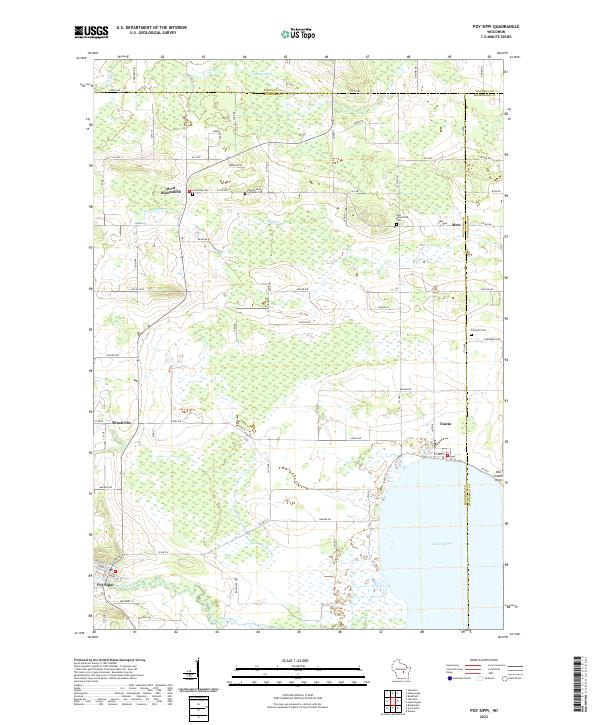 2022 Poy Sippi2022 Print · USGSPoy Sippi and the northern shores of Lake Poygan appear here in a landscape of small hamlets and winding waterways. Genealogists can trace family sites at Old German Lutheran Cem and Prellwitz Cem or explore the old settlements of Metz and Tustin.
 - 2022 Map of Lake Poygan, 2022 Print
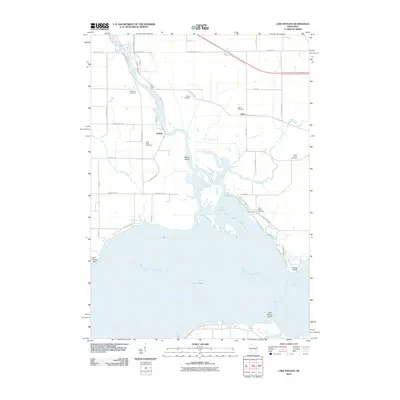
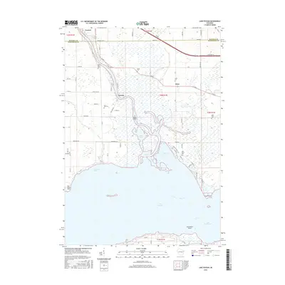
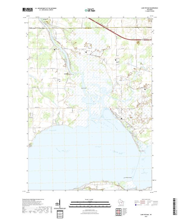 2022 Lake Poygan2022 Print · USGSWisconsin's western Lake Poygan shoreline comes into focus in the early 2020s, showing a landscape defined by the Wolf River and its expansive marshlands. Researchers can locate local landmarks like Old Indian Point, Orihula, and several family-linked sites such as Zittau Cem.
Showing maps 1-25 of 27
Top cities near Poygan
- Oshkosh historical maps
- Greenville historical maps
- Waupaca historical maps
- City of Berlin historical maps
- Berlin historical maps
- Omro historical maps
See more
Frequently asked questions
- What are the different types of historical maps available for Poygan?
- What is the oldest map of Poygan?
- Where can I purchase historical maps of Poygan for my home or office?
- Where can I download high-res historical maps of Poygan?
- Are there historical topographic maps available for Poygan?
- Is there historical aerial imagery available for Poygan?
- Where are historical maps of Poygan sourced from?