Old Maps of Milladore, Wisconsin for Metal Detecting
Plan your next treasure hunt with 27 historic maps of Milladore. Find old homesites, ghost towns, trails, and gathering spots that may be lost to time — perfect for identifying promising metal detecting locations.
- Locate forgotten sites: Uncover places like long-lost settlements, abandoned rail lines, or gathering spots.
- Plan better hunts: Use map overlays combined with LiDAR or satellite views to narrow in on historically rich areas.
- Made for detectorists: Thousands of hobbyists use these maps to discover relics, coins, and hidden history.
Use these historic maps to boost your research and find new opportunities beneath the surface of Milladore.
Milladore, WI maps
(27)- 1955 Map of Green Bay, 1968 Print
 1955 Green Bay1968 Print · USGSCentral and Eastern Wisconsin are captured here in the mid-fifties, showing the industrial growth of the Fox Valley and Wisconsin River corridors. Genealogists and historians can trace rail lines like the Green Bay and Western through settlements like Weyauwega, Clintonville, and Pulaski.2 unique versions available
 - 1956 Map of Milladore, 1958 Print
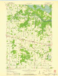 1956 Milladore1958 Print · USGSIn the mid-fifties, this section of Wood County was a busy crossroads for the Soo Line and Milwaukee Road railroads. Genealogists can trace a lost network of rural education through sites like Steppingstone Sch, Lone Elm Sch, and the Runkle Sch.
 - 1970 Map of Junction City, 1972 Print
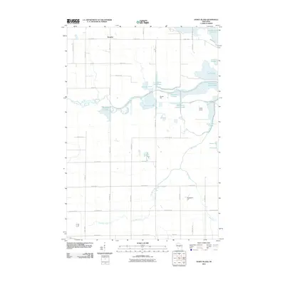
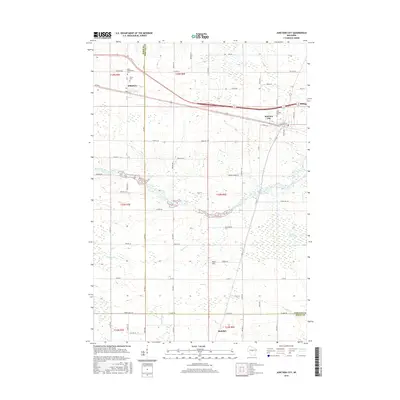
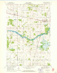 1970 Junction City1972 Print · USGSJunction City and Milladore sit at a vital rail crossing in central Wisconsin as the seventies began. Genealogists and rail historians can trace the intersection of the Soo Line and Chicago Milwaukee St Paul and Pacific, alongside local landmarks like St Wenceslaus Cem and Fogarty Marsh.
 - 1970 Map of Honey Island, 1972 Print
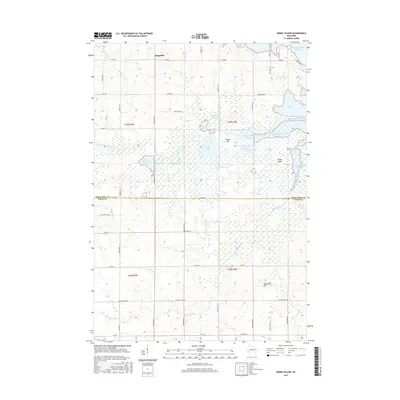
 1970 Honey Island1972 Print · USGSThe Marathon and Wood County borderlands appear here in the early 1970s, showcasing the extensive flowage systems of the George W Mead State Wildlife Management Area. Genealogists and local historians can trace family locations near Rangeline, Townhall, and the Cem Grace Ch.
 - 1970 Map of Sherry, 1972 Print
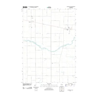
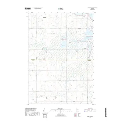
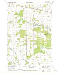 1970 Sherry1972 Print · USGSWood County dairy country and rail corridors are captured here in the early seventies, as the region maintained its rural character. Local historians can trace the paths of the Soo Line and Chicago and North Western through Sherry and Blenker.2 unique versions available
 - 1970 Map of Big Eau Pleine Reservoir, 1984 Print
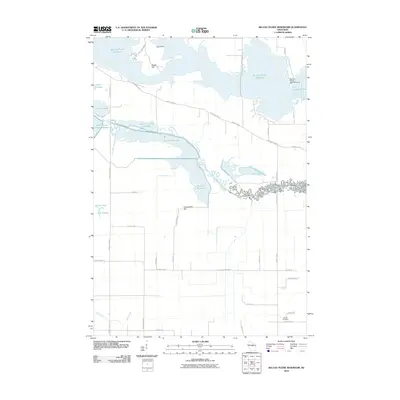
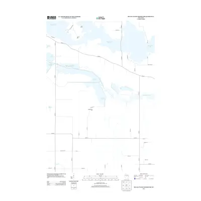
 1970 Big Eau Pleine Reservoir1984 Print · USGSMarathon and Portage counties were defined by extensive wetland management and conservation efforts in the early seventies. Genealogists and outdoorsmen can trace landmarks like Runkle Cem, Big Eau Pleine County Park, and the winding Little Eau Pleine River.
 - 1984 Map of Wausau, 1990 Print
 1984 Wausau1990 Print · USGSMarathon and Portage counties come into focus during the mid-eighties as industrial river towns and sprawling conservation areas define the Central Wisconsin landscape. Researchers can trace the rail corridors of the Soo Line or locate rural landmarks like Rib Mountain State Park and St Marys Cem.
 - 2010 Map of Sherry, 2010 Print
 2010 Sherry2010 Print · USGSCovers Milladore, including Sherry, Auburndale, and other nearby areas
 - 2010 Map of Honey Island, 2010 Print
 2010 Honey Island2010 Print · USGSCovers Milladore, including Auburndale, Day, and other nearby areas
 - 2010 Map of Junction City, 2010 Print
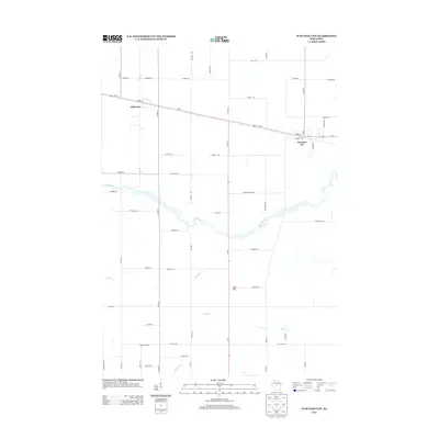
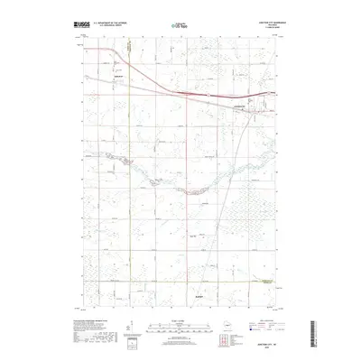
 2010 Junction City2010 Print · USGSCovers Milladore, including Sherry, Rudolph, and other nearby areas
 - 2010 Map of Big Eau Pleine Reservoir, 2010 Print
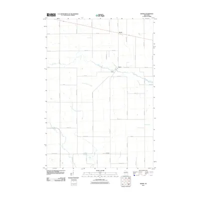
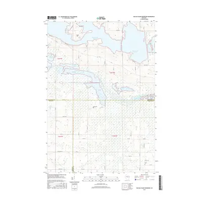
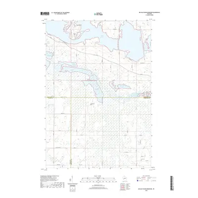
 2010 Big Eau Pleine Reservoir2010 Print · USGSCovers Milladore, including Bergen, Green Valley, and other nearby areas
 - 2013 Map of Junction City, 2013 Print
 2013 Junction City2013 Print · USGSCovers Milladore, including Sherry, Rudolph, and other nearby areas
 - 2013 Map of Big Eau Pleine Reservoir, 2013 Print
 2013 Big Eau Pleine Reservoir2013 Print · USGSCovers Milladore, including Bergen, Green Valley, and other nearby areas
 - 2013 Map of Honey Island, 2013 Print
 2013 Honey Island2013 Print · USGSCovers Milladore, including Auburndale, Day, and other nearby areas
 - 2013 Map of Sherry, 2013 Print
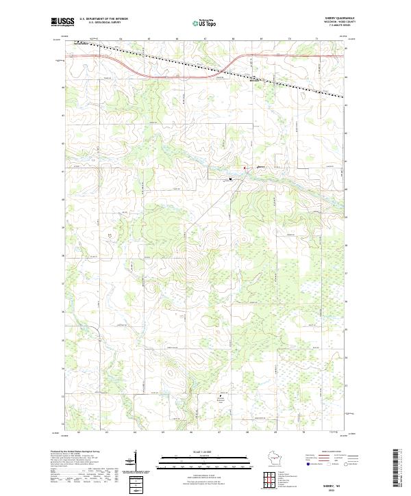
 2013 Sherry2013 Print · USGSCovers Milladore, including Sherry, Auburndale, and other nearby areas
 - 2015 Map of Big Eau Pleine Reservoir, 2015 Print
 2015 Big Eau Pleine Reservoir2015 Print · USGSCovers Milladore, including Bergen, Green Valley, and other nearby areas
 - 2015 Map of Honey Island, 2015 Print
 2015 Honey Island2015 Print · USGSCovers Milladore, including Auburndale, Day, and other nearby areas
 - 2015 Map of Sherry, 2015 Print
 2015 Sherry2015 Print · USGSCovers Milladore, including Sherry, Auburndale, and other nearby areas
 - 2015 Map of Junction City, 2015 Print
 2015 Junction City2015 Print · USGSCovers Milladore, including Sherry, Rudolph, and other nearby areas
 - 2018 Map of Junction City, 2018 Print
 2018 Junction City2018 Print · USGSCovers Milladore, including Sherry, Rudolph, and other nearby areas
 - 2018 Map of Honey Island, 2018 Print
 2018 Honey Island2018 Print · USGSCovers Milladore, including Auburndale, Day, and other nearby areas
 - 2018 Map of Big Eau Pleine Reservoir, 2018 Print
 2018 Big Eau Pleine Reservoir2018 Print · USGSCovers Milladore, including Bergen, Green Valley, and other nearby areas
 - 2018 Map of Sherry, 2018 Print
 2018 Sherry2018 Print · USGSCovers Milladore, including Sherry, Auburndale, and other nearby areas
 - 2022 Map of Sherry, 2022 Print
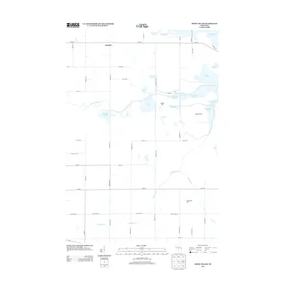
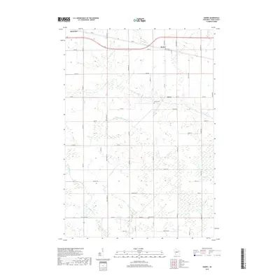
 2022 Sherry2022 Print · USGSWood County’s dairy and timber roots are visible in this modern survey of the central Wisconsin landscape. Genealogists and local historians can trace family plots near Fairview Cem and follow the rural roads connecting Blenker and Sherry.
 - 2022 Map of Junction City, 2022 Print
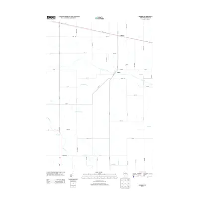
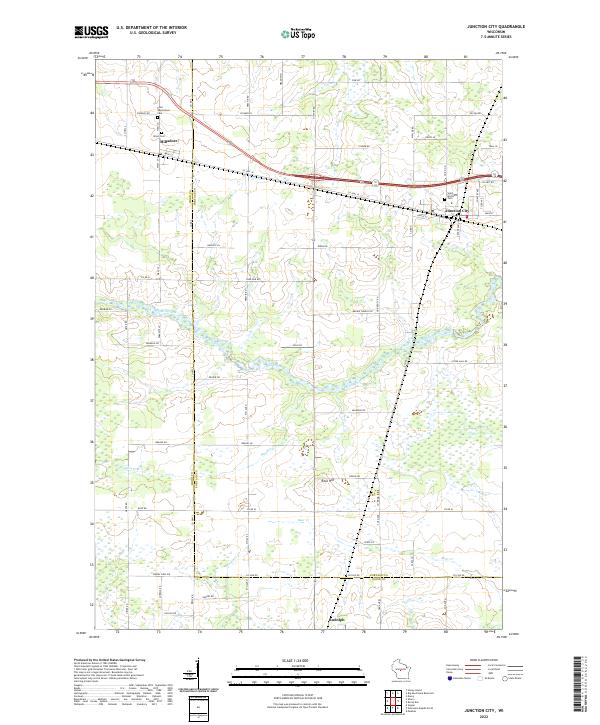 2022 Junction City2022 Print · USGSJunction City and Milladore are shown in recent years at the busy intersection of Wood and Portage counties. Researchers can trace family history at Saint Wenceslaus Cem or locate geographical landmarks like Rock Hill and the sprawling Fogarty Marsh.
Showing maps 1-25 of 27
Top cities near Milladore
- Marshfield historical maps
- Wisconsin Rapids historical maps
- Kronenwetter historical maps
- Rib Mountain historical maps
- Mosinee historical maps
- McMillan historical maps
See more
Top neighborhoods of Milladore
Frequently asked questions
- What are the different types of historical maps available for Milladore?
- What is the oldest map of Milladore?
- Where can I purchase historical maps of Milladore for my home or office?
- Where can I download high-res historical maps of Milladore?
- Are there historical topographic maps available for Milladore?
- Is there historical aerial imagery available for Milladore?
- Where are historical maps of Milladore sourced from?