Old Maps of Echeta, Wyoming for Metal Detecting
Plan your next treasure hunt with 11 historic maps of Echeta. Find old homesites, ghost towns, trails, and gathering spots that may be lost to time — perfect for identifying promising metal detecting locations.
- Locate forgotten sites: Uncover places like long-lost settlements, abandoned rail lines, or gathering spots.
- Plan better hunts: Use map overlays combined with LiDAR or satellite views to narrow in on historically rich areas.
- Made for detectorists: Thousands of hobbyists use these maps to discover relics, coins, and hidden history.
Use these historic maps to boost your research and find new opportunities beneath the surface of Echeta.
Echeta, WY maps
(11)- 1954 Map of Gillette, 1975 Print
 1954 Gillette1975 Print · USGSGillette and the northeast Wyoming ranching country are captured here in the mid-1950s as coal and bentonite mining shaped the local economy. Genealogists can trace family landmarks like the Bethlehem Church, Wellman School, and early settlements along the Chicago Burlington and Quincy RR.
 - 1955 Map of Gillette, 1976 Print
 1955 Gillette1976 Print · USGSNortheastern Wyoming in the mid-twentieth century is captured here as the energy and ranching landscape began to shift. Genealogists and historians can trace the foundations of local communities through sites like Wyodak, the Pleasantdale Community Building, and landmarks like Devils Tower National Monument.
 - 1958 Map of Gillette
 1958 Gillette1958 Print · USGSNortheastern Wyoming and the Black Hills are captured here in the late fifties, showcasing a landscape of high-plains ranching and emerging energy production. Researchers can trace the rail-side growth of Gillette and find historic rural landmarks like the Wyodak Coal Mine, Bethlehem Church, and Devils Tower National Monument.2 unique versions available
 - 1962 Map of Gillette
 1962 Gillette1962 Print · USGSHigh plains ranching and coal mining dominate the Powder River Basin in the early sixties. Genealogists can trace rural communities through landmarks like the Bethlehem Church, Lake School, and settlements such as Moorcroft and Sundance.
 - 1972 Map of Echeta, 1975 Print
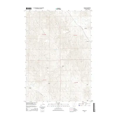
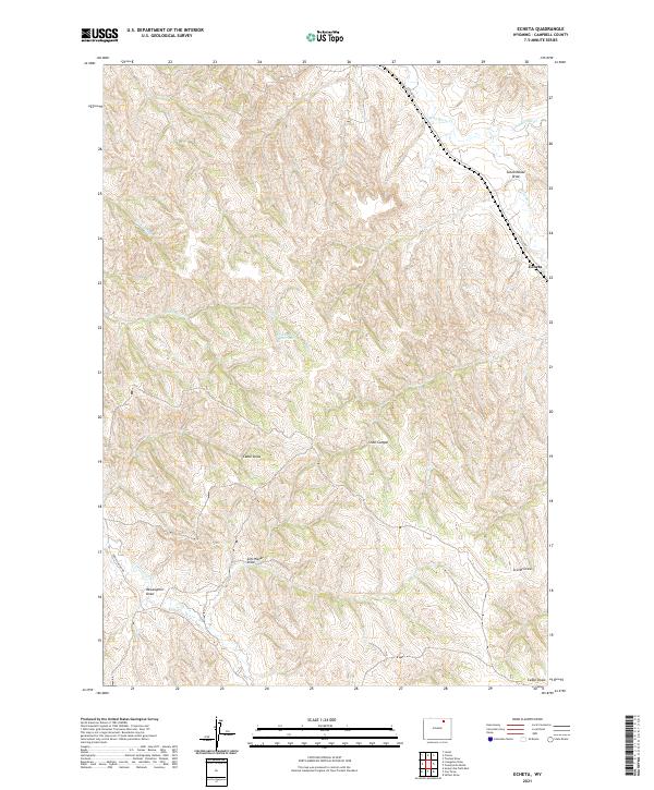
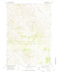 1972 Echeta1975 Print · USGSThe rail-side settlement of Echeta is captured here in the early 1970s, as energy production began to shape the Campbell County landscape. Researchers can trace the Burlington Northern line past local Mines and through terrain marked by Schoolhouse Draw and Wild Horse Creek.
 - 1972 Map of Gillette, 1975 Print
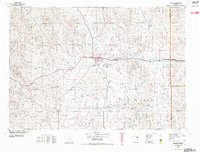 1972 Gillette1975 Print · USGSGillette and the surrounding Campbell County prairies are shown during a decade of intense energy expansion in the 1970s. Researchers can trace the early footprint of the Wyodak Strip Mines and locate rural landmarks like Antelope Butte and Rozet.
 - 1974 Map of Gillette, 1993 Print
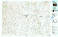 1974 Gillette1993 Print · USGSGillette and the Powder River Basin are captured here in the mid-seventies during a pivotal era of energy development. Genealogists and historians can trace the early footprint of the Wyodak Strip Mines and the rail-side growth of Rozet and Wyodak.
 - 2012 Map of Echeta, 2012 Print
 2012 Echeta2012 Print · USGSCovers Echeta, including Campbell County, United States, and other nearby areas
 - 2015 Map of Echeta, 2015 Print
 2015 Echeta2015 Print · USGSCovers Echeta, including Campbell County, United States, and other nearby areas
 - 2017 Map of Echeta, 2017 Print
 2017 Echeta2017 Print · USGSCovers Echeta, including Campbell County, United States, and other nearby areas
 - 2021 Map of Echeta, 2021 Print
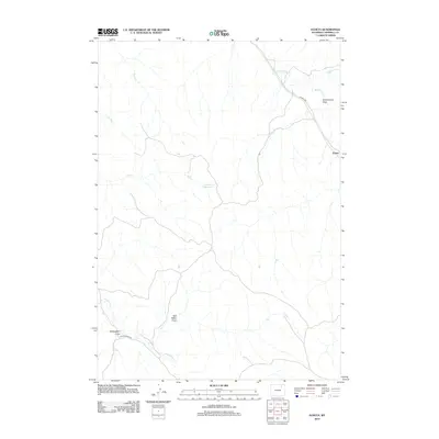
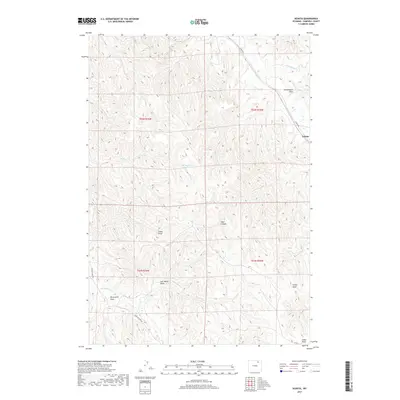
 2021 Echeta2021 Print · USGSCampbell County ranching country appears in recent detail as a landscape of remote draws and winding creek beds. Genealogists and historians can trace the geography around Echeta and Broken Jaw Reservoir, or locate family-named features like McLaughlin Draw and Snell Canyon.
End of results
Showing maps 1-11 of 11
Frequently asked questions
- What are the different types of historical maps available for Echeta?
- What is the oldest map of Echeta?
- Where can I purchase historical maps of Echeta for my home or office?
- Where can I download high-res historical maps of Echeta?
- Are there historical topographic maps available for Echeta?
- Is there historical aerial imagery available for Echeta?
- Where are historical maps of Echeta sourced from?