Old Maps of Turnercrest, Wyoming for Academic Research
Study the evolution of Turnercrest with 9 high-resolution historic maps. Whether you're teaching, researching, or modeling changes in land use, these maps provide essential visual documentation of urban, environmental, and geographic change.
- Analyze long-term change: Track patterns in development, transportation, and natural features.
- Ideal for environmental or urban studies: Support academic projects with primary historical map data.
- Use in the classroom or lab: Educators and researchers rely on these maps to bring historical context to life.
These maps are a powerful tool for teaching, research, and visualizing how Turnercrest has changed over the decades.
Turnercrest, WY maps
(9)- 1955 Map of Newcastle, 1963 Print
 1955 Newcastle1963 Print · USGSThe high plains of eastern Wyoming and western South Dakota are captured in the mid-fifties, showing a landscape of sprawling ranches and emerging oil fields. Researchers can locate family landmarks like Saunders Ranch, trace the Chicago Burlington & Quincy RR, and explore small rail towns such as Osage and Edgemont.2 unique versions available
 - 1958 Map of Newcastle
 1958 Newcastle1958 Print · USGSThe high plains of eastern Wyoming meet the Black Hills in the late fifties, showcasing a landscape of rail-connected towns and historic trails. Trace the path of the Chicago Burlington & Quincy RR through Newcastle or locate the Bozeman Trail Monument and Summitt Ridge Lookout Tower.
 - 1960 Map of Turnercrest, 1962 Print
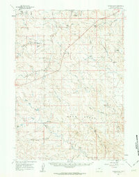 1960 Turnercrest1962 Print · USGSSettlement in this corner of Campbell County during the early 1960s centered on the ranching community of Turnercrest. Genealogists and historians can trace established family holdings like Wright Ranch and Turner Ranch or locate landmarks such as Reno Flats.
 - 1974 Map of Reno Junction, 1975 Print
 1974 Reno Junction1975 Print · USGSThe high plains of eastern Wyoming in the mid-1970s reveal an era of intensive energy production and remote ranching life. Genealogists and historians can trace the footprint of petroleum industry landmarks like the Hilight Oil and Gas Field alongside old settlements like Savageton and Reno.2 unique versions available
 - 1984 Map of Turnercrest
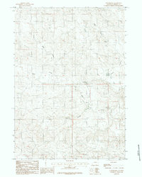 1984 Turnercrest1984 Print · USGSRanching lands in Campbell County are captured in the mid-1970s as the area balanced traditional livestock grazing with emerging energy infrastructure. Researchers can trace local water sources like Mexican Springs Creek and identify landmarks such as Turnercrest and the open expanses of Reno Flats.2 unique versions available
 - 2012 Map of Turnercrest, 2012 Print
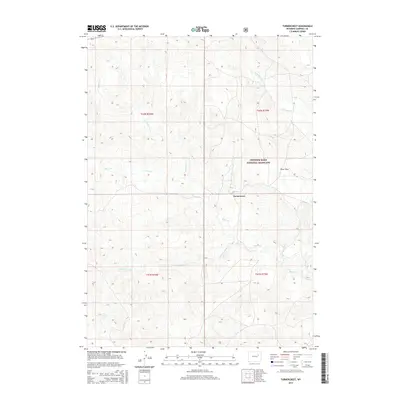
 2012 Turnercrest2012 Print · USGSCovers Turnercrest, including Campbell County, United States, and other nearby areas
 - 2015 Map of Turnercrest, 2015 Print
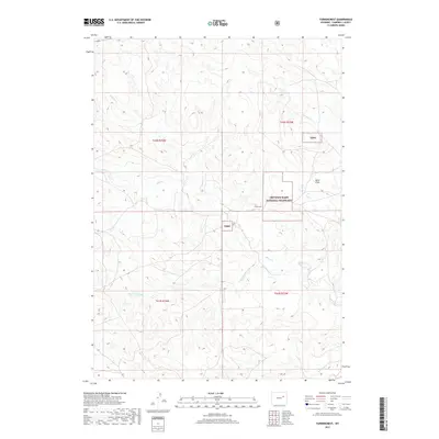
 2015 Turnercrest2015 Print · USGSCovers Turnercrest, including Campbell County, United States, and other nearby areas
 - 2017 Map of Turnercrest, 2017 Print
 2017 Turnercrest2017 Print · USGSCovers Turnercrest, including Campbell County, United States, and other nearby areas
 - 2021 Map of Turnercrest, 2021 Print
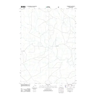
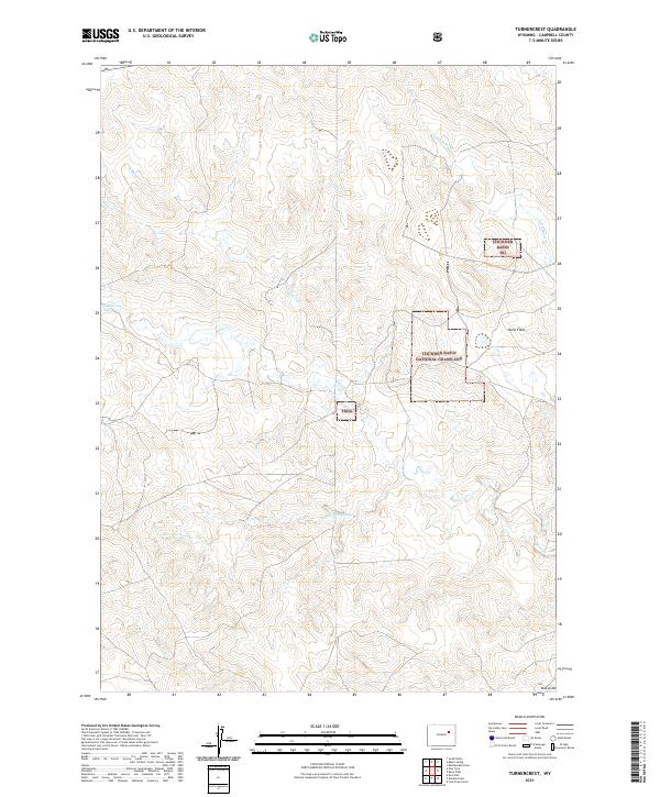 2021 Turnercrest2021 Print · USGSCampbell County land management and drainage patterns are on clear display in this recent survey of the northeast Wyoming high plains. Trace the seasonal waterways of Bates Cr and Little Bates Cr or locate specific points like Mexican Springs and Reno Flats.
End of results
Showing maps 1-9 of 9
Top cities near Turnercrest
Frequently asked questions
- What are the different types of historical maps available for Turnercrest?
- What is the oldest map of Turnercrest?
- Where can I purchase historical maps of Turnercrest for my home or office?
- Where can I download high-res historical maps of Turnercrest?
- Are there historical topographic maps available for Turnercrest?
- Is there historical aerial imagery available for Turnercrest?
- Where are historical maps of Turnercrest sourced from?