Old Maps of Campbell Ranch, Wyoming
Explore 12 old maps of Campbell Ranch, spanning from 1893 to today. These high-resolution historic maps reveal how streets, neighborhoods, landmarks, and natural features evolved over time — perfect for genealogy, metal detecting, research, and local history exploration.
What you can do with these maps:
- See how Campbell Ranch changed over time: Compare historical maps to modern-day views to trace roads, homesites, rail lines & more.
- View detailed metadata: Each map includes creators, publishers, year, scale, and archive source.
- Overlay maps with satellite & LiDAR: Visualize the past alongside modern tools to explore terrain & human change.
- Trusted historical sources: Maps sourced from the USGS, Library of Congress, and other archives.
- Access maps your way: View online, download high-res files, or order prints for personal or research use.
Start exploring old maps of Campbell Ranch to uncover forgotten places, hidden landmarks, and the deep history beneath your feet.
Campbell Ranch, WY maps
(12)- 1893 Map of Fort Steele
 1893 Fort Steele1893 Print · USGSCarbon County in the early 1890s is a rugged landscape dominated by the high-altitude peaks of the Snowy Range and the iron path of the Union Pacific Ry. Genealogists and historians can trace the early rail stops at Hanna, Dana, and Ft Steele alongside the winding course of the North Platte River.4 unique versions available
 - 1954 Map of Rawlins, 1968 Print
 1954 Rawlins1968 Print · USGSThe high plains and mountain ranges of southern Wyoming are shown here in the mid-1950s as the Union Pacific railroad and early highways fueled local industry. Genealogists and historians can trace old homesteads and outposts like the Overland Stage Station, the Utah Oil Refining Station, and the Hadsell Winter Headquarters.2 unique versions available
 - 1955 Map of Coal Bank Basin, 1957 Print
 1955 Coal Bank Basin1957 Print · USGSHigh-plains ranching and historic travel corridors converge in Carbon County during the mid-fifties. Researchers can trace the Overland Trail across the flats and locate family landmarks like the Hat Creek Sch and Peterson Ranch.3 unique versions available
 - 1958 Map of Rawlins
 1958 Rawlins1958 Print · USGSSouthern Wyoming at the mid-century shows a landscape defined by the Union Pacific Railroad and the high basins of the Continental Divide. Researchers can trace old transportation routes near Fort Fred Steele or explore the mining history around Hanna and Medicine Bow.2 unique versions available
 - 1962 Map of Rawlins
 1962 Rawlins1962 Print · USGSSouthern Wyoming at the dawn of the sixties shows a landscape shaped by the Union Pacific and the high peaks of the Medicine Bow Mountains. Researchers can trace the path of the old stage routes through Overland Stage Station and Fort Fred Steele.
 - 1967 Map of Rawlins
 1967 Rawlins1967 Print · USGSCentral Wyoming and northern Colorado in the 1980s are defined here by the Union Pacific corridor and the high peaks of the Sierra Madre. Researchers can trace the legacy of old mining and rail towns like Carbon, Hanna, and Medicine Bow along the Overland Trail.
 - 1980 Map of Medicine Bow
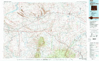 1980 Medicine Bow1980 Print · USGSCarbon County’s high plains and industrial corridors are captured here in the late twentieth century, centered on the coal-rich territory around Hanna. Genealogists and historians can trace the paths of the historic Overland Trail and the Union Pacific Railroad past settlements like Elmo and Fort Steele.
 - 1988 Map of Rawlins
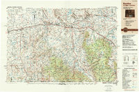 1988 Rawlins1988 Print · USGSSouthern Wyoming and the Colorado borderlands are detailed here in the late eighties, featuring the intersection of the historic Overland Trail and the Union Pacific. Researchers can trace old rail towns like Medicine Bow and Wamsutter or landmark peaks like Medicine Bow Peak.
 - 2012 Map of Coal Bank Basin, 2012 Print
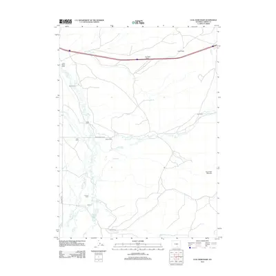 2012 Coal Bank Basin2012 Print · USGSCarbon County ranching country is mapped here in the early twenty-first century, showcasing a landscape of legacy estates and complex water systems. Genealogists and historians can trace family properties like Peterson Ranch and Melody Ranch or follow the path of the Stock Drive Way.
 - 2015 Map of Coal Bank Basin, 2015 Print
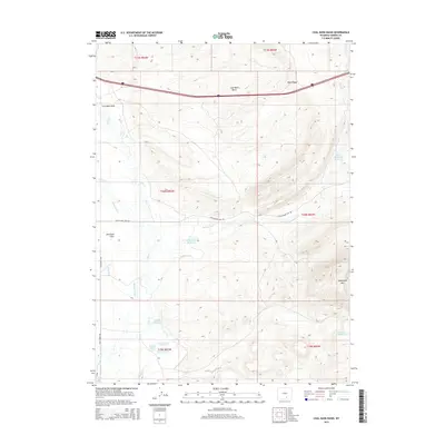 2015 Coal Bank Basin2015 Print · USGSCarbon County ranching and water management are the focus of this high-country survey from the mid-2010s. Trace the complex irrigation network of Vienna Ditch and Coyote Ditch alongside landmarks like Sheephead Mtn and Welton Lake.
 - 2017 Map of Coal Bank Basin, 2017 Print
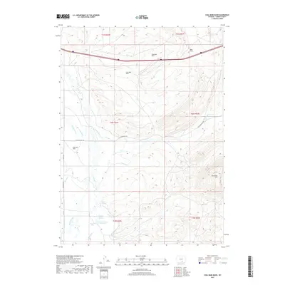 2017 Coal Bank Basin2017 Print · USGSCarbon County's high-altitude ranching and water infrastructure are documented here in the early twenty-first century. Researchers can trace historic water rights and land use via Jackson Springs, the Stock Drive Way, and Welton Lake.
 - 2021 Map of Coal Bank Basin, 2021 Print
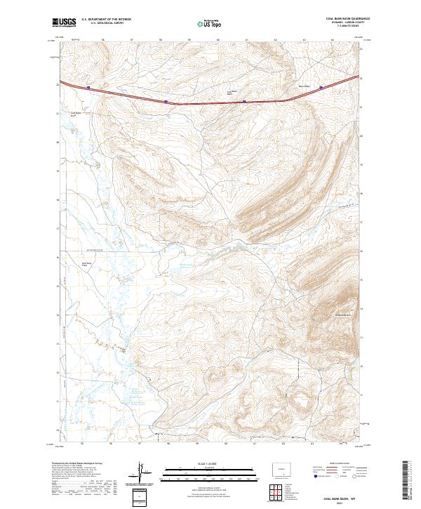 2021 Coal Bank Basin2021 Print · USGSThe high basins of Carbon County come to life in this recent survey of the central Wyoming landscape. Genealogists and local historians can trace legacy water rights and land use through Welton Lake, Jackson Spring Number 3, and the Stock Drive Way.
End of results
Showing maps 1-12 of 12
Top cities near Campbell Ranch
Frequently asked questions
- What are the different types of historical maps available for Campbell Ranch?
- What is the oldest map of Campbell Ranch?
- Where can I purchase historical maps of Campbell Ranch for my home or office?
- Where can I download high-res historical maps of Campbell Ranch?
- Are there historical topographic maps available for Campbell Ranch?
- Is there historical aerial imagery available for Campbell Ranch?
- Where are historical maps of Campbell Ranch sourced from?