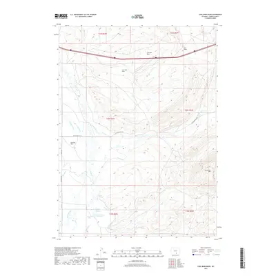
2017 Map of Coal Bank Basin
USGS Topo · Published 2017About this map
Coal Bank Basin and the surrounding high plains of Carbon County define this landscape of early 21st-century water management and ranching infrastructure. The map details a complex network of irrigation and livestock support, from the Coyote Ditch and Campbell Ditch to the specialized Welton Fish Pond and Welton Lake. Significant natural springs are specifically identified, including Jackson Springs Number 1 and 2 and Jackson Spring Number 3, which serve as vital water sources in this arid region.
Find a feature on this map
30 named features on this map. Tap any name to fly to it.
Don’t see what you’re looking for? This feature index may not catch every label — zoom into the map to look around manually.
Map Details
Editions of this 2017 Coal Bank Basin Map
This is the sole edition of this map. No revisions or reprints were ever made.
Other maps of this area

1893 · Fort Steele
USGS Topo · 1:125,000

1914 · Hanna
USGS Topo · 1:62,500

1914 · Walcott
USGS Topo · 1:62,500

1954 · Rawlins
USGS Topo · 1:250,000

1955 · Overland
USGS Topo · 1:24,000

1955 · Coal Bank Basin
USGS Topo · 1:24,000

1955 · Oberg Ranch
USGS Topo · 1:24,000

1955 · Meads
USGS Topo · 1:24,000

1955 · Rattlesnake Pass
USGS Topo · 1:24,000

1955 · Coad Mountain
USGS Topo · 1:24,000