
1914 Map of Hanna
USGS Topo · Published 1914About this map
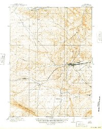
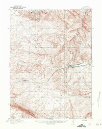
Hanna and its neighbor Threetown serve as the primary hubs in this high-desert landscape, situated along the vital transcontinental corridor of the Union Pacific RR. Surveyed just before the mid-1910s, the map reveals a region defined by its rail-dependent economy and a network of irrigation projects, including the North Ditch, Middle Ditch, and Big Ditch, which redirect water toward remote outposts. These ranching operations, such as Brooks Ranch, Nelson's Ranch, and Kinney's Ranch, are scattered across a terrain dominated by the towering Pass Creek Ridge and the winding Medicine Bow River. The inclusion of smaller stops like Dana and Percy illustrates the density of railroad-related settlement during this era of western expansion. Genealogists and local historians can trace the early infrastructure of Carbon County through these family-named landmarks and the precise placement of railroad siding locations.
Find a feature on this map
14 named features on this map. Tap any name to fly to it.
Don’t see what you’re looking for? This feature index may not catch every label — zoom into the map to look around manually.
Map Details
Editions of this 1914 Hanna Map
3 editions found
Other maps of this area

1893 · Fort Steele
USGS Topo · 1:125,000

1914 · Walcott
USGS Topo · 1:62,500

1914 · Saddleback Hills
USGS Topo · 1:62,500

1921 · Saddleback Hills
USGS Topo · 1:62,500

1953 · Seminoe Dam SE
USGS Topo · 1:24,000

1953 · Schneider Ridge
USGS Topo · 1:24,000

1953 · T E Ranch
USGS Topo · 1:24,000

1954 · Rawlins
USGS Topo · 1:250,000

1955 · Coal Bank Basin
USGS Topo · 1:24,000

1955 · Elk Mountain
USGS Topo · 1:24,000