
1955 Map of Meads
USGS Topo · Published 1957About this map
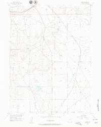
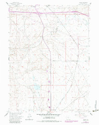
Walcott Junction and the small settlement of Meads define this 1950s landscape in Carbon County, where critical transportation corridors converge. The high plains terrain is marked by the presence of the Union Pacific railroad and the Lincoln Highway, which both follow the historic east-west movement patterns through the region. This map provides a detailed view of the ranching economy at mid-century, identifying specific family properties such as the Peterson Ranch, Crone Ranch, and Hess Ranch.
Find a feature on this map
18 named features on this map. Tap any name to fly to it.
Don’t see what you’re looking for? This feature index may not catch every label — zoom into the map to look around manually.
Map Details
Editions of this 1955 Meads Map
3 editions found
Other maps of this area

1893 · Fort Steele
USGS Topo · 1:125,000

1914 · Hanna
USGS Topo · 1:62,500

1914 · Walcott
USGS Topo · 1:62,500

1954 · Rawlins
USGS Topo · 1:250,000

1955 · Overland
USGS Topo · 1:24,000

1955 · Overland Crossing
USGS Topo · 1:24,000

1955 · Coal Bank Basin
USGS Topo · 1:24,000

1955 · Oberg Ranch
USGS Topo · 1:24,000

1955 · Savage Ranch
USGS Topo · 1:24,000

1958 · Rawlins
USGS Topo · 1:250,000