
1955 Map of Overland Crossing
USGS Topo · Published 1957About this map
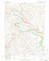
The North Platte River winds through this mid-1950s Wyoming landscape, marked by the deep historical footprints of the Overland Trail. This survey documents a critical transition point for travelers at the Overland Crossing, where a historical monument and the Pioneer Cem signify the area's significance to westward migration. The river valley is punctuated by several former homesteads and livestock operations, including the Old Johnson Place, Old Mc Keal Place, and the Corpening Ranch, illustrating the legacy of early ranching in Carbon County.
Find a feature on this map
36 named features on this map. Tap any name to fly to it.
Don’t see what you’re looking for? This feature index may not catch every label — zoom into the map to look around manually.
Map Details
Editions of this 1955 Overland Crossing Map
3 editions found
Other maps of this area

1893 · Fort Steele
USGS Topo · 1:125,000

1932 · Savery
USGS Topo · 1:96,000

1939 · Saratoga
USGS Topo · 1:125,000

1940 · Savery
USGS Topo · 1:125,000

1954 · Rawlins
USGS Topo · 1:250,000

1955 · Overland
USGS Topo · 1:24,000

1955 · Meads
USGS Topo · 1:24,000

1955 · Savage Ranch
USGS Topo · 1:24,000

1956 · Bolten Ranch
USGS Topo · 1:62,500

1958 · Rawlins
USGS Topo · 1:250,000