
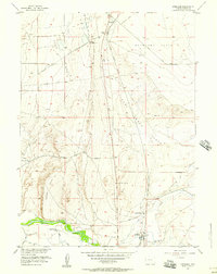
1955 Map of Overland
USGS Topo · Published 1957About this map
The historical Overland Trail cuts diagonally across this high-plains landscape, marking a legacy of westward migration north of the North Platte River. By the mid-1950s, the terrain is defined by a mix of early transportation corridors and ranching interests, featuring the Union Pacific railroad and the remote outpost at Overland. A Historical Monument near the north edge of the sheet commemorates the region's heritage, while the site of Midway (Old Stage Station) provides a specific anchor for those tracing the path of the original stage lines through Sand Basin. Toward the south, the landscape transitions into the river valley, where the Saratoga Fish Hatchery and family-held lands like Byers Ranch and Eatons Ranch show the localized development of Carbon County's water resources and livestock operations.
Find a feature on this map
29 named features on this map. Tap any name to fly to it.
Don’t see what you’re looking for? This feature index may not catch every label — zoom into the map to look around manually.
Map Details
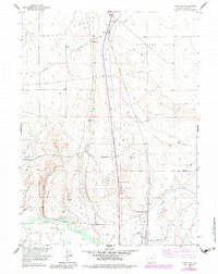
Editions of this 1955 Overland Map
3 editions found
Other maps of this area

1893 · Fort Steele
USGS Topo · 1:125,000

1939 · Saratoga
USGS Topo · 1:125,000

1954 · Rawlins
USGS Topo · 1:250,000

1955 · Overland Crossing
USGS Topo · 1:24,000

1955 · Coal Bank Basin
USGS Topo · 1:24,000

1955 · Oberg Ranch
USGS Topo · 1:24,000

1955 · Meads
USGS Topo · 1:24,000

1955 · Savage Ranch
USGS Topo · 1:24,000

1958 · Rawlins
USGS Topo · 1:250,000
1961 · Finley Reservoir
USGS Topo · 1:24,000