
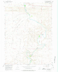
1955 Map of Savage Ranch
USGS Topo · Published 1957About this map
The North Platte River winds through this Carbon County landscape, carving a deep path through the Savage Hills and creating dramatic river features like Oxbow Bend. This 1955 field-checked survey reveals a sparsely populated ranching territory where local landmarks such as Savage Ranch and the curiously named The Old Bob Place serve as primary points of human settlement. The northern edge of the map is defined by the Lincoln Highway, tracing the historic transcontinental route alongside a Telephone Line.
Find a feature on this map
18 named features on this map. Tap any name to fly to it.
Don’t see what you’re looking for? This feature index may not catch every label — zoom into the map to look around manually.
Map Details
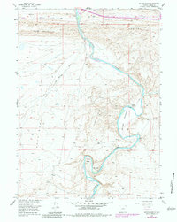
Editions of this 1955 Savage Ranch Map
3 editions found
Other maps of this area

1893 · Fort Steele
USGS Topo · 1:125,000

1914 · Walcott
USGS Topo · 1:62,500

1953 · Sinclair
USGS Topo · 1:24,000

1954 · Rawlins
USGS Topo · 1:250,000

1955 · Overland
USGS Topo · 1:24,000

1955 · Overland Crossing
USGS Topo · 1:24,000

1955 · Meads
USGS Topo · 1:24,000

1956 · Bolten Ranch
USGS Topo · 1:62,500

1958 · Rawlins
USGS Topo · 1:250,000

1962 · Rawlins
USGS Topo · 1:250,000